MyTopo
Ridgeville Georgia US Topo Map
Couldn't load pickup availability
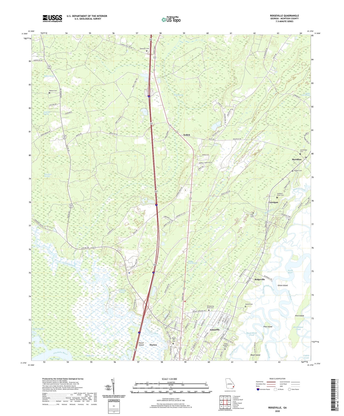
2024 topographic map quadrangle Ridgeville in the state of Georgia. Scale: 1:24000. Based on the newly updated USGS 7.5' US Topo map series, this map is in the following counties: McIntosh. The map contains contour data, water features, and other items you are used to seeing on USGS maps, but also has updated roads and other features. This is the next generation of topographic maps. Printed on high-quality waterproof paper with UV fade-resistant inks.
Quads adjacent to this one:
West: Cox
Northwest: Townsend
North: Eulonia
Northeast: Shellman Bluff
East: Doboy Sound
Southeast: Altamaha Sound
South: Darien
Southwest: Sterling
This map covers the same area as the classic USGS quad with code o31081d4.
Contains the following named places: Ardick, Ashintilly, Bethel Church, Boggy Gall Swamp, Briardam Swamp, Carnigan, Chisholm Swamp, Credit Hill Church, Cuthbert - Grant Cemetery, Daniel Grove Church, Darien Heights, Darien Water Pollution Control Plant, East Light Church, Ebenezer Cemetery, Ebenezer Church, Eden Field Airport, Emanuel Baptist Church, Fairview, Faith Bible Chapel, First African Church, Georgia Islands Factory Shoppes, Hird Island, Hird Island Creek, Holy Church, Hudson Cemetery, Hutchinson Cemetery, King Cemetery, King Swamp, Lewis Creek, McIntosh County, McIntosh County Academy, McIntosh County Fire Department Northside Station, McIntosh County Jail, Mcintosh County Sheriff's Office, Meridian, Meridian Post Office, New Homes Church, Oglethorpe Academy, Otter Creek, Pine Island, Potosi Island, Powell Cemetery, Ridgeville, Rifle Cut, River Swamp, Robson Cemetery, Rockenboughs Creek, Saint Andrews Cemetery, Saint Marks Church, Sams Memorial Church, Todd Grant Elementary School, Union Church, Union Island, Upper Mill Cemetery, Whispering Pines Cemetery, ZIP Code: 31305


