MyTopo
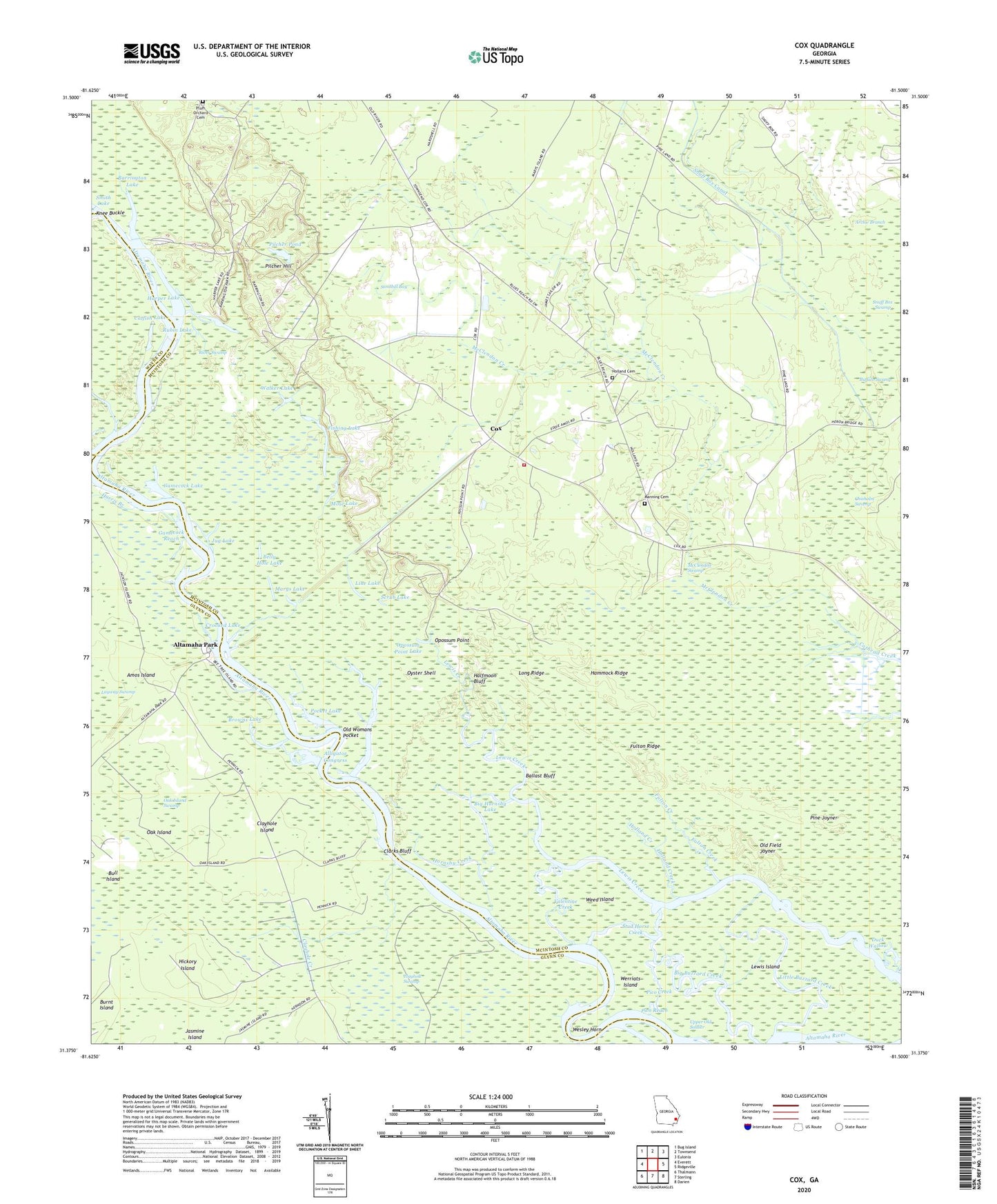
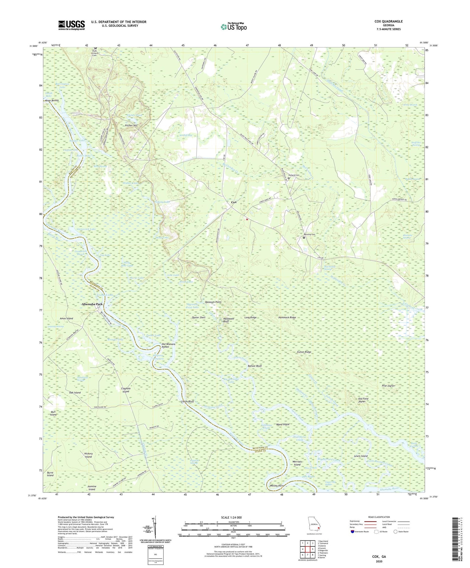
Cox Georgia US Topo Map
Couldn't load pickup availability
2024 topographic map quadrangle Cox in the state of Georgia. Scale: 1:24000. Based on the newly updated USGS 7.5' US Topo map series, this map is in the following counties: McIntosh, Glynn, Wayne. The map contains contour data, water features, and other items you are used to seeing on USGS maps, but also has updated roads and other features. This is the next generation of topographic maps. Printed on high-quality waterproof paper with UV fade-resistant inks.
Quads adjacent to this one:
West: Everett
Northwest: Bug Island
North: Townsend
Northeast: Eulonia
East: Ridgeville
Southeast: Darien
South: Sterling
Southwest: Thalmann
This map covers the same area as the classic USGS quad with code o31081d5.
Contains the following named places: Alligator Congress, Altamaha Park, Amos Island, Archie Branch, Ballast Bluff, Barrington Lake, Belly Hole Lake, Big Buzzard Creek, Big Hornsby Lake, Browns Lake, Browns Lake Landing, Buffalo Creek, Buffalo Swamp, Bull Island, Burnt Island, Catfish Lake, Clarks Bluff, Clarks Bluff Landing, Clayhole Creek, Clayhole Island, Cox, Cox Volunteer Fire Department Station 6, Crooked Lake, Dick Swift Creek, Duck Wallow, Fishing Lake, Fort Barrington Ferry, Fort Barrington Landing, Fulton Creek, Fulton Ridge, Gamecock Lake, Gamecock Reach, Halfmoon Bluff, Hammock Ridge, Hardshell Church, Harper Lake, Harris Branch, Hickory Island, Holland Cemetery, Holland Creek, Holland Landing, Hornsby Creek, Jug Lake, Knee Buckle, Lewis Island, Line Lake, Little Buzzard Creek, Long Ridge, Manning Cemetery, Marys Lake, McClendon Creek, McClendon School, McClendon Swamp, Mose Lake, Oak Island, Oak Island Swamp, Old Field Joyner, Old Fort Barrington, Old Womans Pocket, Opossum Landing, Opossum Point, Opossum Point Lake, Oyster Shell, Pico Creek, Pico Reach, Pilcher Hill, Pilcher Pond, Pine Joyner, Plum Orchard Cemetery, Pocket Lake, Poley Branch, Rubin Lake, Sandhill Bay, Scrub Lake, Second Woodland Church, Sheffield Church, Snuff Box Swamp, Stud Horse Creek, The Sweatbox, Turn of the Swamp, Upper Old Soldier, Valentine Creek, Walker Lake, Wayfarer Church, Weed Island, Werriats Island, Wesley Horn


