MyTopo
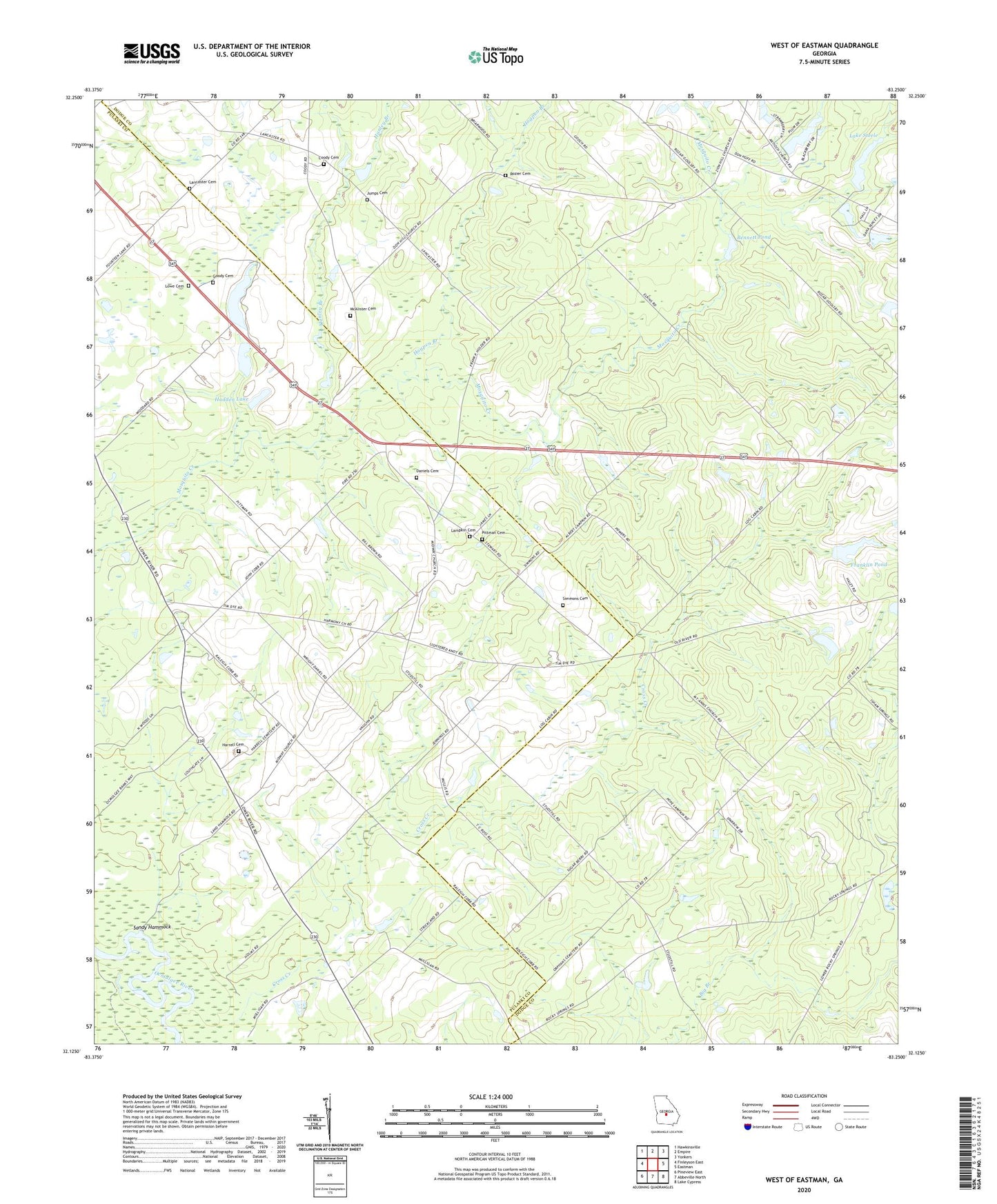
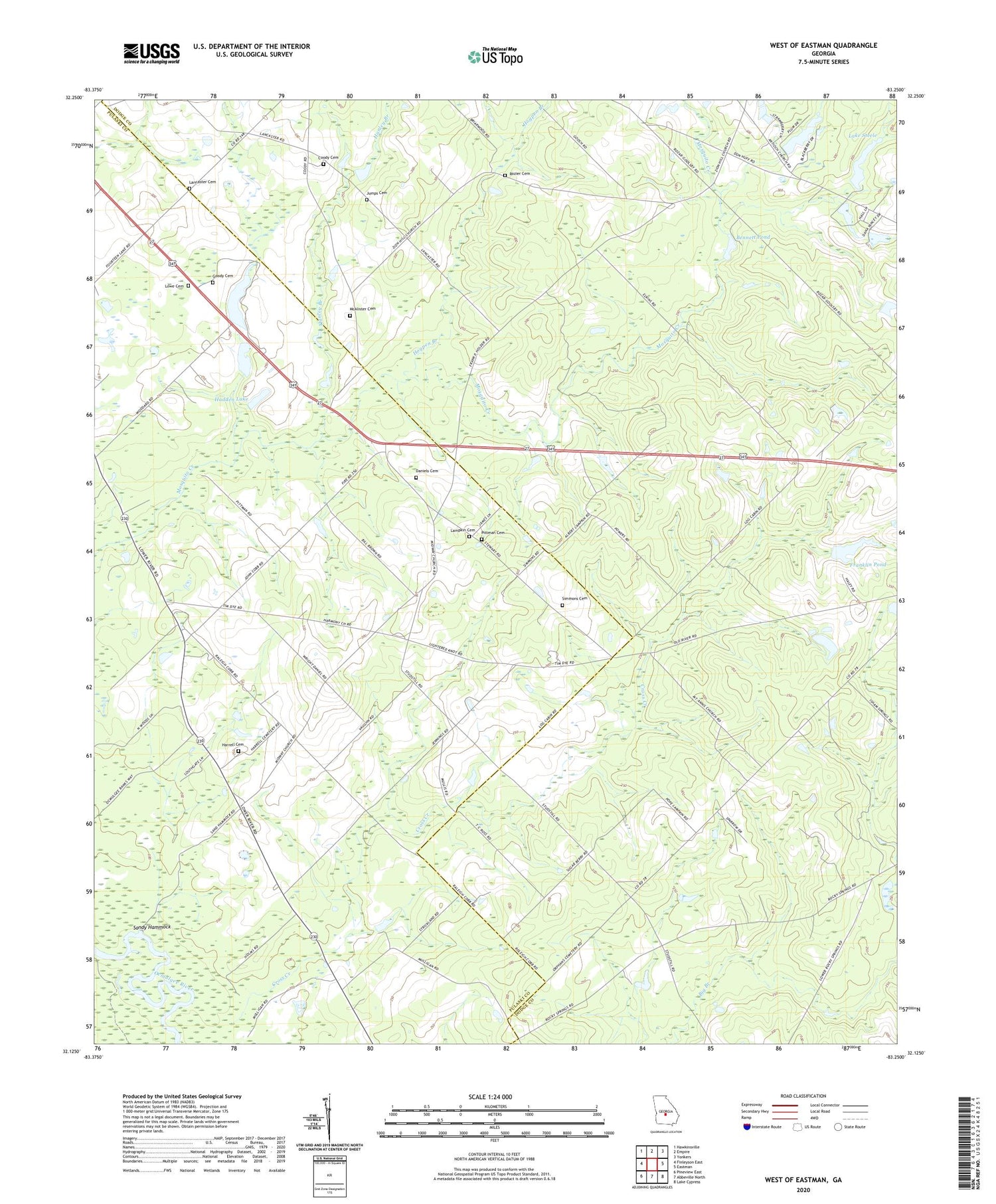
West of Eastman Georgia US Topo Map
Couldn't load pickup availability
2024 topographic map quadrangle West of Eastman in the state of Georgia. Scale: 1:24000. Based on the newly updated USGS 7.5' US Topo map series, this map is in the following counties: Dodge, Pulaski, Wilcox. The map contains contour data, water features, and other items you are used to seeing on USGS maps, but also has updated roads and other features. This is the next generation of topographic maps. Printed on high-quality waterproof paper with UV fade-resistant inks.
Quads adjacent to this one:
West: Finleyson East
Northwest: Hawkinsville
North: Empire
Northeast: Yonkers
East: Eastman
Southeast: Lake Cypress
South: Abbeville North
Southwest: Pineview East
This map covers the same area as the classic USGS quad with code o32083b3.
Contains the following named places: Bennett Pond, Bennett Pond Dam, Coody Cemetery, Cross Creek, Daniels Cemetery, Franklin Pond, Franklin Pond Dam, Goody Cemetery, Hadden Lake, Hadden Lake Dam, Hanley Branch, Hardy Lake, Hardy Lake Dam, Harmony Church, Harrell Cemetery, Hogpen Branch, Jumps Cemetery, Lake Steele, Lake Steele Dam, Lampkin Cemetery, Lancaster Cemetery, Lowe Cemetery, McAlister Cemetery, Midway Church, Mount Annis Church, Mount Cilla Church, New Salem Church, Pittman Cemetery, Rozier Cemetery, Salem Church, Sandy Hammock, Simmons Cemetery, Zion Hill Church