MyTopo
Kipukapakekake Hawaii US Topo Map
Couldn't load pickup availability
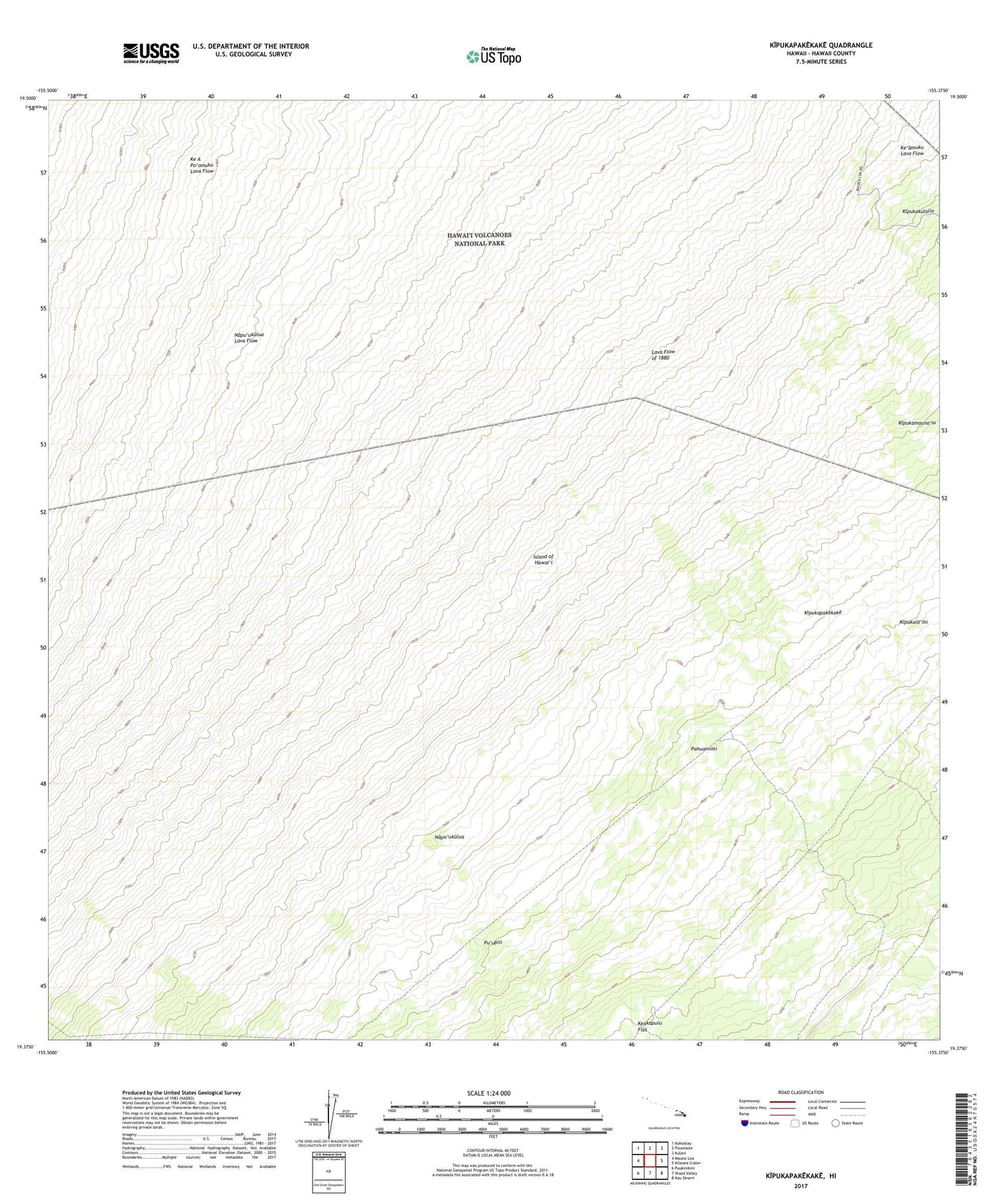
2024 topographic map quadrangle Kipukapakekake in the state of Hawaii. Scale: 1:24000. Based on the newly updated USGS 7.5' US Topo map series, this map is in the following counties: Hawaii. The map contains contour data, water features, and other items you are used to seeing on USGS maps, but also has updated roads and other features. This is the next generation of topographic maps. Printed on high-quality waterproof paper with UV fade-resistant inks.
Quads adjacent to this one:
West: Mauna Loa
Northwest: Kokoolau
North: Puuulaula
Northeast: Kulani
East: Kilauea Crater
Southeast: Kau Desert
South: Wood Valley
Southwest: Puukinikini
Contains the following named places: Ainapo, Kauhiuhi, Ke A Po'omuku Lava Flow, Kipukalo'ihi, Kipukamauna'iu, Kipukapakekake, Lava Flow of 1880, Maluikeao, Napu'ukulua, Napu'ukulua Lava Flow, Pahuamimi, Pu'upili, ZIP Code: 96785