
MyTopo
Kau Desert Hawaii US Topo Map
Couldn't load pickup availability
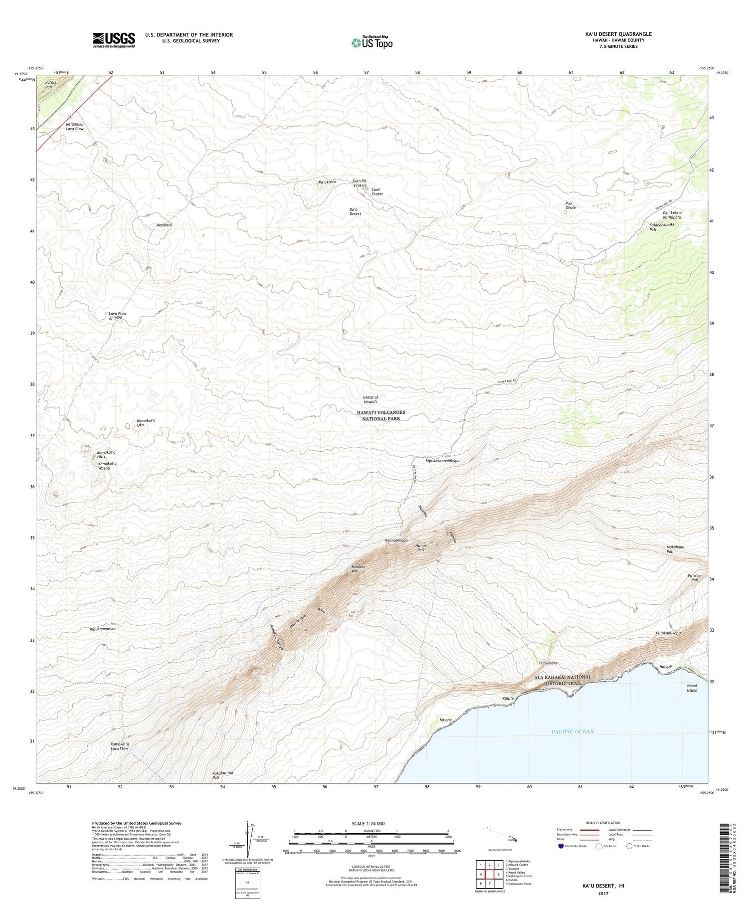
2024 topographic map quadrangle Kau Desert in the state of Hawaii. Scale: 1:24000. Based on the newly updated USGS 7.5' US Topo map series, this map is in the following counties: Hawaii. The map contains contour data, water features, and other items you are used to seeing on USGS maps, but also has updated roads and other features. This is the next generation of topographic maps. Printed on high-quality waterproof paper with UV fade-resistant inks.
Quads adjacent to this one:
West: Wood Valley
Northwest: Kipukapakekake
North: Kilauea Crater
Northeast: Volcano
East: Makaopuhi Crater
South: Naliikakani Point
Southwest: Pahala
This map covers the same area as the classic USGS quad with code o19155c3.
Contains the following named places: Ahiu, Cone Crater, Footprints, Halape, Halape Shelter, Halape Trail, Hawai'i Volcanoes Wilderness, Hilina Pali, Hilina Pali Trail, Ka'aha, Ka'aha Shelter, Ka'aha Trail, Kahele, Kakiiwai, Kalu'e, Kamakai'a Hills, Kamakai'a Lava Flow, Kamakai'a Uka, Kamakai'a Waena, Ka'u Desert, Ka'u Desert Trail, Ka'u Desert Trailhead, Keanabihopa, Keaoi, Kipuka'ahiu, Kipukakeanabihopa, Kipukanene, Kipukapapalinamoku, Kipukapepeiao, Lava Flow of 1920, Makahanu Pali, Maunaiki, Maunaiki Trail, Moo Arroyo, Moolelo Pali, Nanahu, Palileleokalihipa'a, Pepeiao Cabin, Pohakaa Arroyo, Puu Ohale, Pu'ukaone, Pu'ukapukapu, Pu'ukoa'e, Twin Pit Craters


