MyTopo
Kulani Hawaii US Topo Map
Couldn't load pickup availability
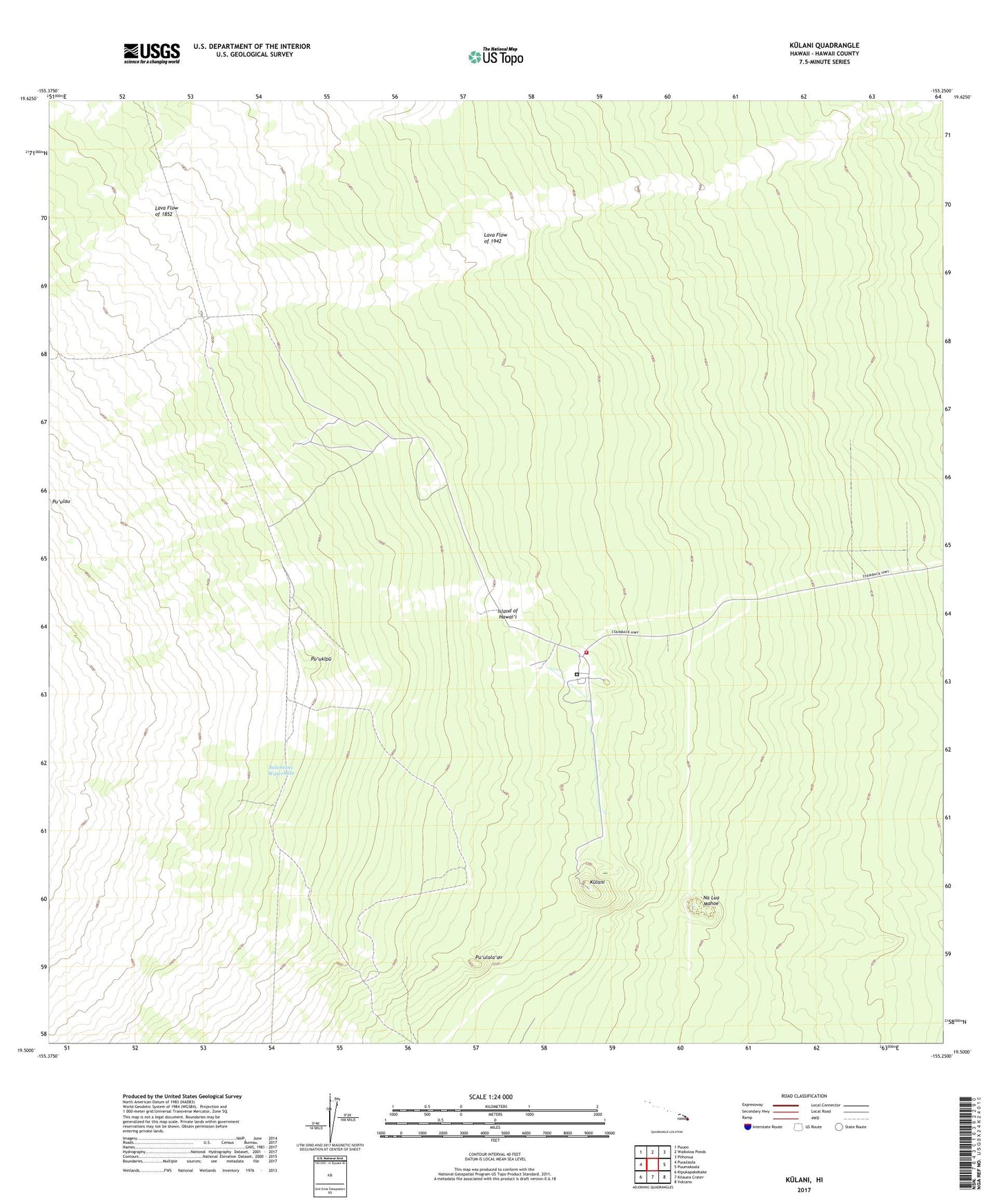
2024 topographic map quadrangle Kulani in the state of Hawaii. Scale: 1:24000. Based on the newly updated USGS 7.5' US Topo map series, this map is in the following counties: Hawaii. The map contains contour data, water features, and other items you are used to seeing on USGS maps, but also has updated roads and other features. This is the next generation of topographic maps. Printed on high-quality waterproof paper with UV fade-resistant inks.
Quads adjacent to this one:
West: Puuulaula
Northwest: Puuoo
North: Waikoloa Ponds
Northeast: Piihonua
East: Puumakaala
Southeast: Volcano
South: Kilauea Crater
Southwest: Kipukapakekake
This map covers the same area as the classic USGS quad with code o19155e3.
Contains the following named places: Keawewai Cabin, Kulani, Kulani Correctional Facility, Kulani Volunteer Fire Station 03A, Na Lua Mahoe, Pu'ukipu, Pu'ulala'au, Pu'umaka'ala Natural Area Reserve, Solomons Waterhole, Upper 'ola'a Forest Reserve, Waiakea Camp