MyTopo
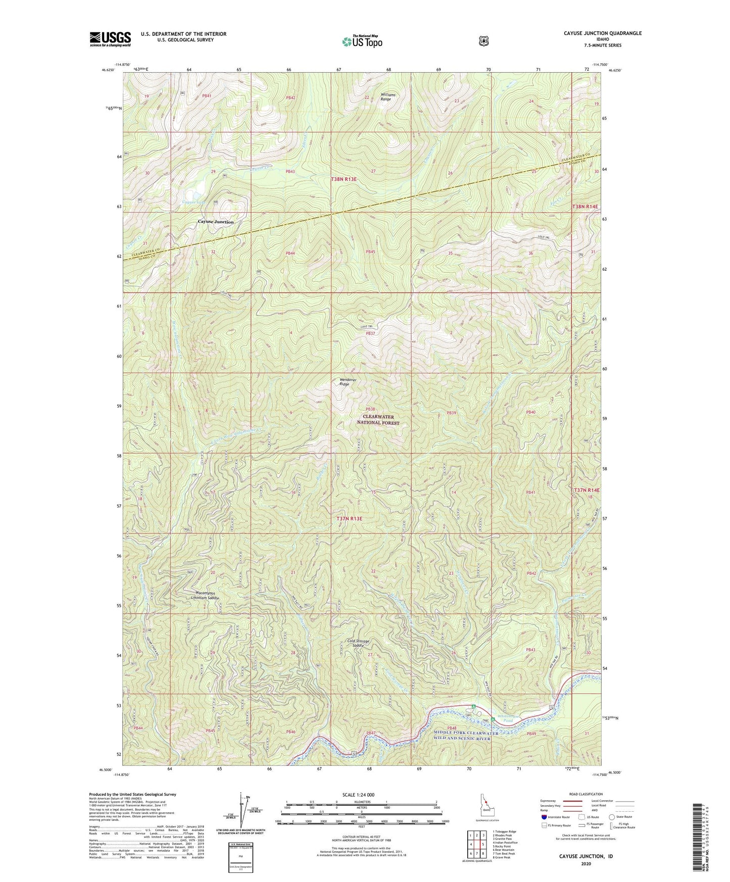
Cayuse Junction Idaho US Topo Map
Couldn't load pickup availability
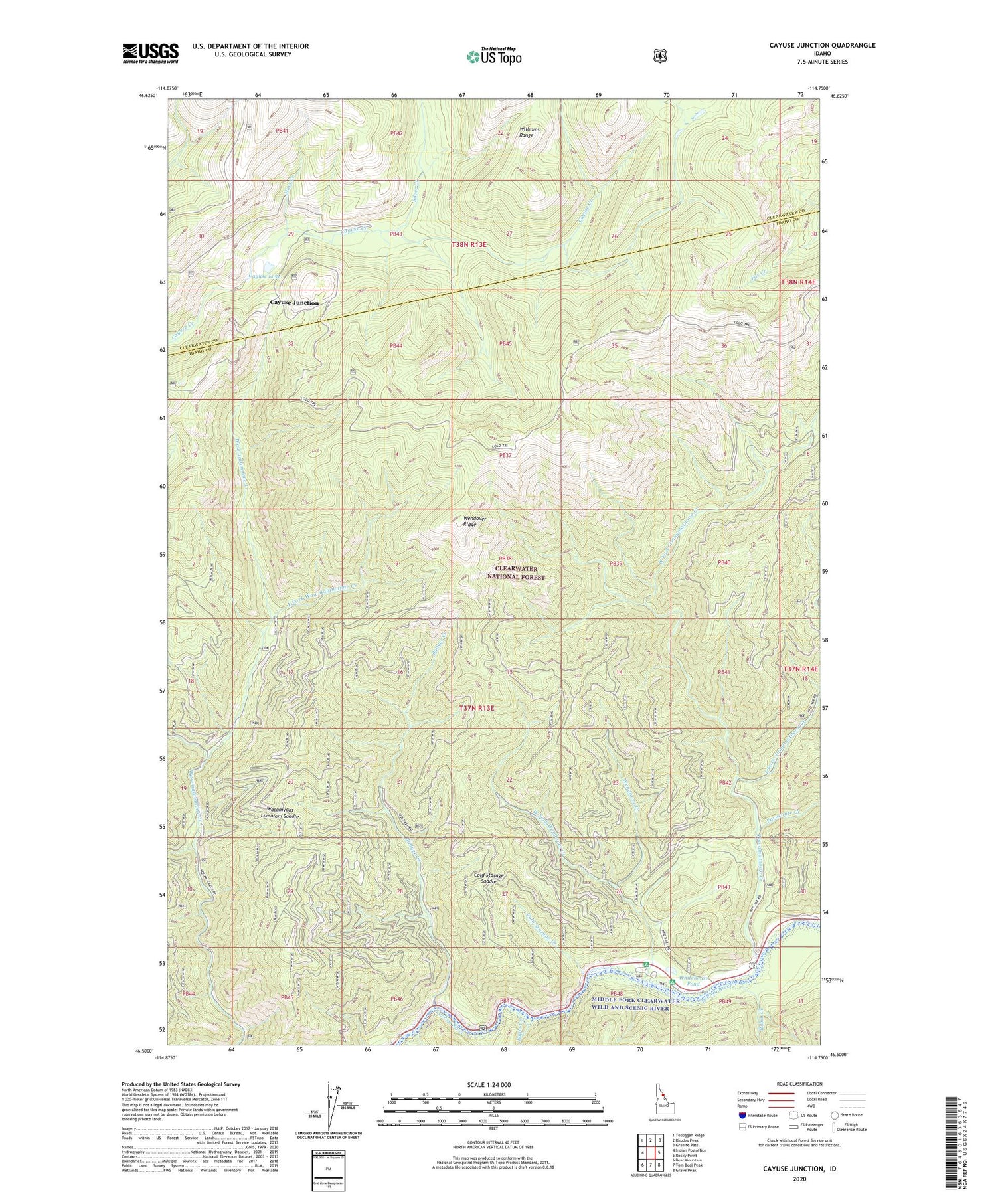
Also explore the Cayuse Junction Forest Service Topo of this same quad for updated USFS data
2024 topographic map quadrangle Cayuse Junction in the state of Idaho. Scale: 1:24000. Based on the newly updated USGS 7.5' US Topo map series, this map is in the following counties: Idaho, Clearwater. The map contains contour data, water features, and other items you are used to seeing on USGS maps, but also has updated roads and other features. This is the next generation of topographic maps. Printed on high-quality waterproof paper with UV fade-resistant inks.
Quads adjacent to this one:
West: Indian Postoffice
Northwest: Toboggan Ridge
North: Rhodes Peak
Northeast: Granite Pass
East: Rocky Point
Southeast: Grave Peak
South: Tom Beal Peak
Southwest: Bear Mountain
This map covers the same area as the classic USGS quad with code o46114e7.
Contains the following named places: Badger Creek, Cayuse Junction, Cayuse Lake, Cold Storage Creek, Cold Storage Saddle, Eagle Creek, East Fork 'Imnamatnoon Creek, East Fork Waw'aalamnime Creek, 'Imnamatnoon Creek, Moss Creek, Parachute Creek, Robin Creek, Silver Creek, Wacamyoos Likoolam Saddle, Wendover Campground, Wendover Creek, Wendover Ridge, Wendover Ridge Rest Site, West Fork 'Imnamatnoon Creek, West Fork Waw'aalamnime Creek, West Fork Wendover Creek, Whitehouse Campground, Whitehouse Pond