MyTopo
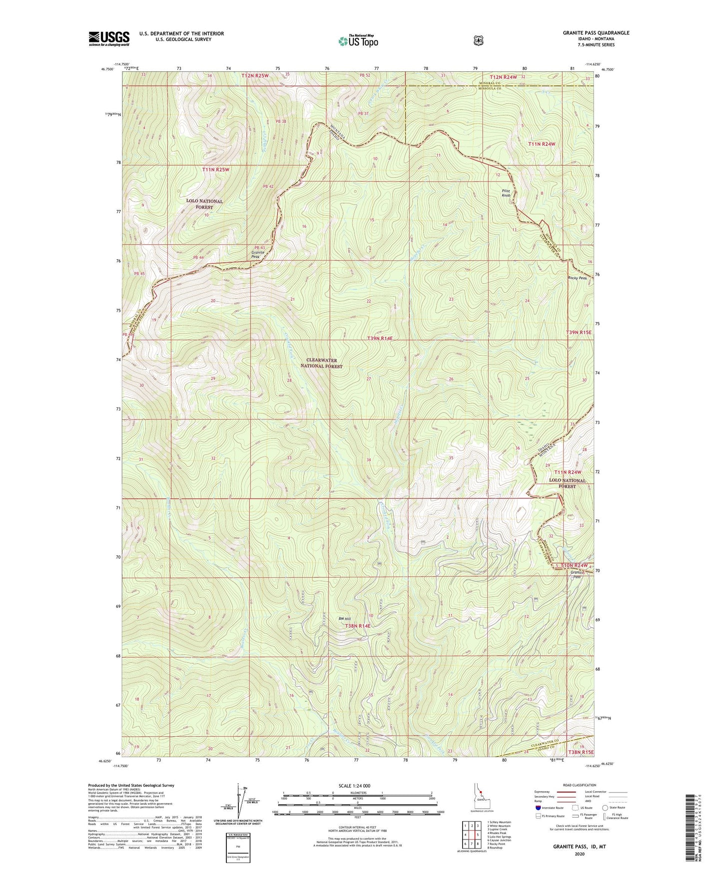
Granite Pass Idaho US Topo Map
Couldn't load pickup availability
Also explore the Granite Pass Forest Service Topo of this same quad for updated USFS data
2024 topographic map quadrangle Granite Pass in the state of Idaho. Scale: 1:24000. Based on the newly updated USGS 7.5' US Topo map series, this map is in the following counties: Clearwater, Mineral, Missoula, Idaho. The map contains contour data, water features, and other items you are used to seeing on USGS maps, but also has updated roads and other features. This is the next generation of topographic maps. Printed on high-quality waterproof paper with UV fade-resistant inks.
Quads adjacent to this one:
West: Rhodes Peak
Northwest: Schley Mountain
North: White Mountain
Northeast: Lupine Creek
East: Lolo Hot Springs
Southeast: Roundtop
South: Rocky Point
Southwest: Cayuse Junction
Contains the following named places: BM Hill, BM Hill Lookout, Fox Creek, Granite Pass, Granite Peak, Hopeful Creek, Pilot Knob, State Line Trail