MyTopo
Cinnabar Mountain Idaho US Topo Map
Couldn't load pickup availability
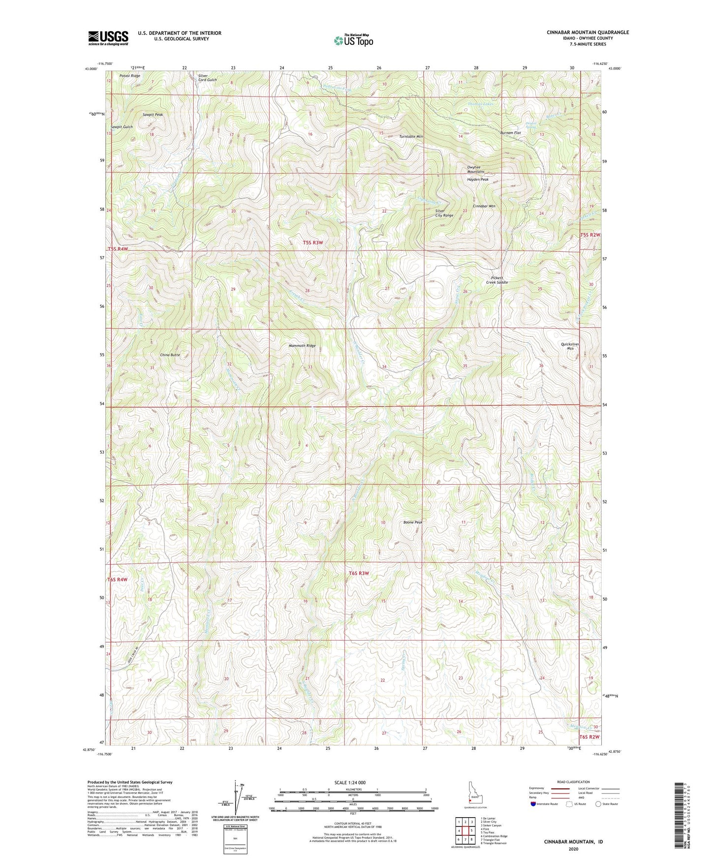
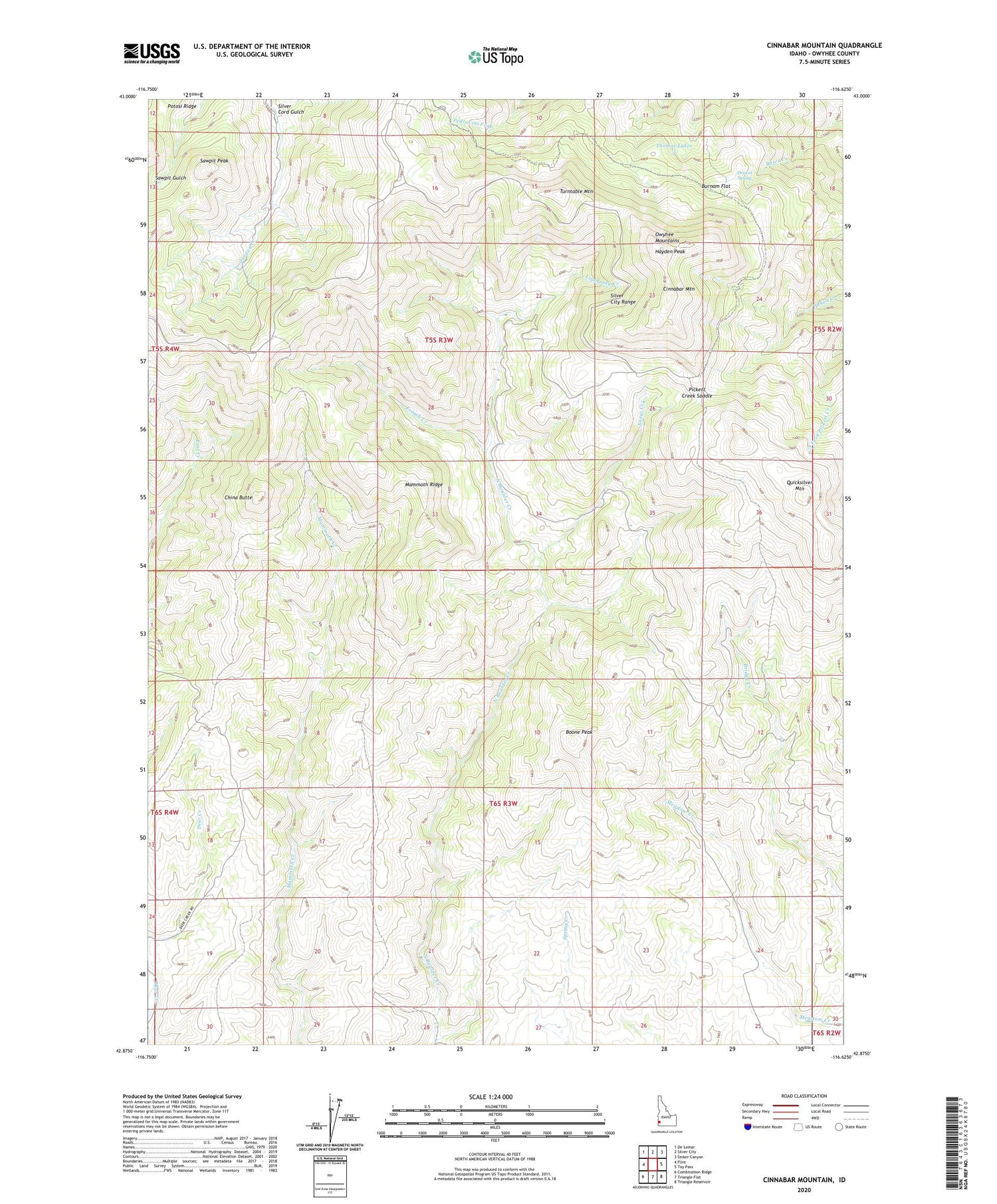
2023 topographic map quadrangle Cinnabar Mountain in the state of Idaho. Scale: 1:24000. Based on the newly updated USGS 7.5' US Topo map series, this map is in the following counties: Owyhee. The map contains contour data, water features, and other items you are used to seeing on USGS maps, but also has updated roads and other features. This is the next generation of topographic maps. Printed on high-quality waterproof paper with UV fade-resistant inks.
Quads adjacent to this one:
West: Flint
Northwest: De Lamar
North: Silver City
Northeast: Sinker Canyon
East: Toy Pass
Southeast: Triangle Reservoir
South: Triangle Flat
Southwest: Combination Ridge
This map covers the same area as the classic USGS quad with code o42116h6.
Contains the following named places: Afterthought Mine, Boone Peak, Burnam Flat, China Butte, Cinnabar Mountain, Driscol Spring, Empire City, French Creek, Hayden Peak, Lightning Creek, Mammoth Ridge, Murphy Division, Owyhee Mountains, Pickett Creek Saddle, Quicksilver Mountain, Sawpit Peak, Silver City Range, Silver Cord Gulch, Snow Cabin, Snow Creek, Thomas Lakes, Turntable Mountain