MyTopo
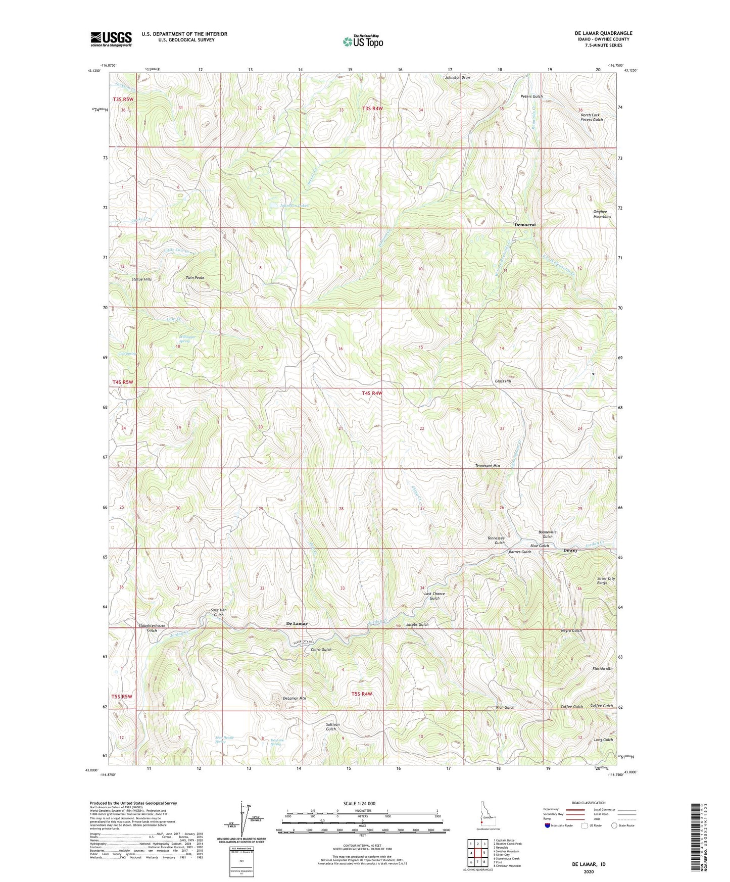
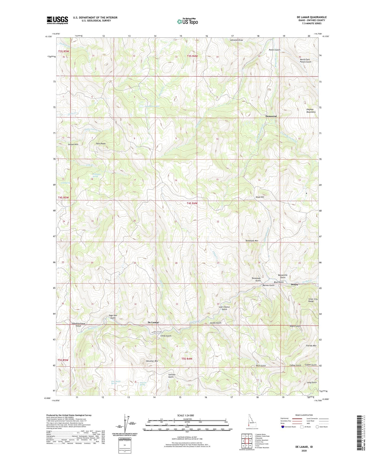
De Lamar Idaho US Topo Map
Couldn't load pickup availability
2023 topographic map quadrangle De Lamar in the state of Idaho. Scale: 1:24000. Based on the newly updated USGS 7.5' US Topo map series, this map is in the following counties: Owyhee. The map contains contour data, water features, and other items you are used to seeing on USGS maps, but also has updated roads and other features. This is the next generation of topographic maps. Printed on high-quality waterproof paper with UV fade-resistant inks.
Quads adjacent to this one:
West: Swisher Mountain
Northwest: Captain Butte
North: Rooster Comb Peak
Northeast: Reynolds
East: Silver City
Southeast: Cinnabar Mountain
South: Flint
Southwest: Stonehouse Creek
This map covers the same area as the classic USGS quad with code o43116a7.
Contains the following named places: Alta Mine, Banner Mine, Barnes Gulch, Black Jack Mine, Blue Gulch, Booneville Gulch, Brunzell Mine, Chatauqua Mine, China Creek, China Gulch, Cold Spring, Cunningham Creek, Daisy Mine, De Lamar, De Lamar Mine, De Lamar Post Office, Deaf Joe Spring, DeLamar Mountain, Delamar Tailings Dam, Democrat, Dewey, Dewey Mine, Dobson Creek, East Fork Reynolds Creek, Erdman Mine, Florida Mountain, Garfield Mine, Glass Hill, Glen Silver Pit Number 1, Glen Silver Pit Number 2, Golden Cycle Mine, Henrietta Mine, Humboldt Mine, Idaho Mine, Jacobs Gulch, Jean Heazle Spring, Johnston Draw, Johnston Lakes, Last Chance Gulch, Lobe Mine, Mill, Negro Gulch, North De Lamar Pit, North Fork Peters Gulch, Ohio Mine, Peters Gulch, Pole Creek, Presby Creek, Rich Gulch, Sage Hen Gulch, Silver Vault Mine, Slacks Creek, Slaughterhouse Gulch, Sommercamp Flat, Sommercamp Mine, Sommercamp Pit, Statue Hills, Summit Mine, Tennessee Gulch, Tennessee Mountain, Tip Top Mine, Twin Peaks, Venus Mine, Voscha Mine, Wagontown, Wahl Mine, West Fork Reynolds Creek, Willingger Spring


