MyTopo
Cottonwood Idaho US Topo Map
Couldn't load pickup availability
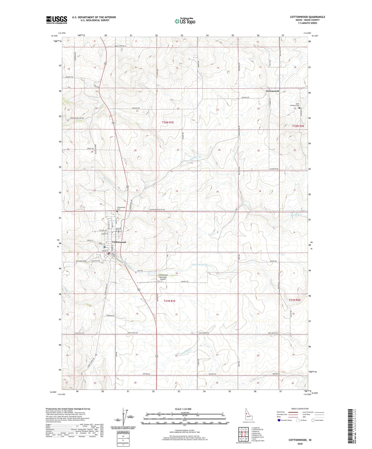
2024 topographic map quadrangle Cottonwood in the state of Idaho. Scale: 1:24000. Based on the newly updated USGS 7.5' US Topo map series, this map is in the following counties: Idaho. The map contains contour data, water features, and other items you are used to seeing on USGS maps, but also has updated roads and other features. This is the next generation of topographic maps. Printed on high-quality waterproof paper with UV fade-resistant inks.
Quads adjacent to this one:
West: Keuterville
Northwest: Craigmont
North: Cottonwood NE
Northeast: Nezperce
East: Nezperce SW
Southeast: Grangeville West
South: Fenn
Southwest: Moughmer Point
This map covers the same area as the classic USGS quad with code o46116a3.
Contains the following named places: Bureau of Land Management Cottonwood Field Office, City of Cottonwood, Cottonwood, Cottonwood Cemetery, Cottonwood Municipal Airport, Cottonwood Post Office, Cottonwood Rural Fire Department, Cottonwood Volunteer Fire Department, Greencreek, Prairie Elementary School, Prairie Middle School, Saint Anthony Cemetery, Saint Joseph School, Saint Mary's Hospital