MyTopo
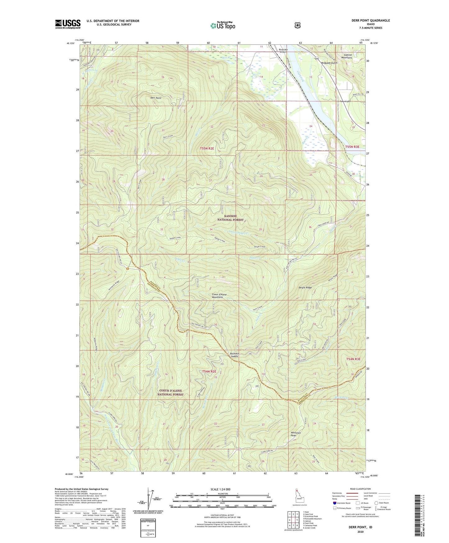
Derr Point Idaho US Topo Map
Couldn't load pickup availability
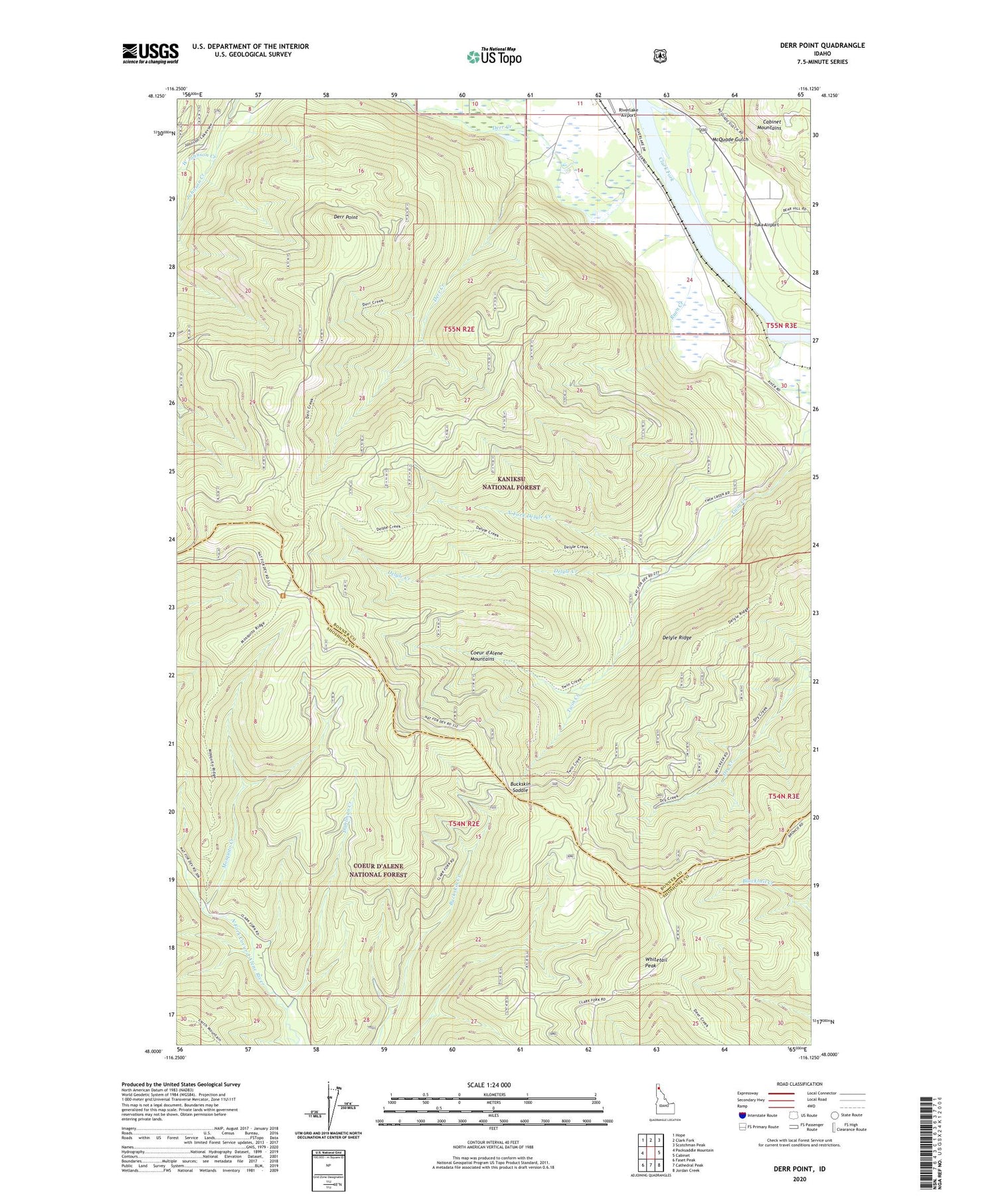
Also explore the Derr Point Forest Service Topo of this same quad for updated USFS data
2024 topographic map quadrangle Derr Point in the state of Idaho. Scale: 1:24000. Based on the newly updated USGS 7.5' US Topo map series, this map is in the following counties: Bonner, Shoshone. The map contains contour data, water features, and other items you are used to seeing on USGS maps, but also has updated roads and other features. This is the next generation of topographic maps. Printed on high-quality waterproof paper with UV fade-resistant inks.
Quads adjacent to this one:
West: Packsaddle Mountain
Northwest: Hope
North: Clark Fork
Northeast: Scotchman Peak
East: Cabinet
Southeast: Jordan Creek
South: Cathedral Peak
Southwest: Faset Peak
This map covers the same area as the classic USGS quad with code o48116a2.
Contains the following named places: Buckskin Saddle, Colby, CX Ranch, Dahlman Creek, Delyle Campground, Delyle Creek, Delyle Ridge, Derr Point, McQuade Gulch, Mosquito Creek, North Fork Delyle Creek, North Fork Twin Creek, Ruen Creek, Summit Camp, Tuka Airport, Twin Creek, West Johnson Creek, Whitetail Peak, ZIP Code: 83811