
MyTopo
Dollarhide Mountain Idaho US Topo Map
Couldn't load pickup availability
Also explore the Dollarhide Mountain Forest Service Topo of this same quad for updated USFS data
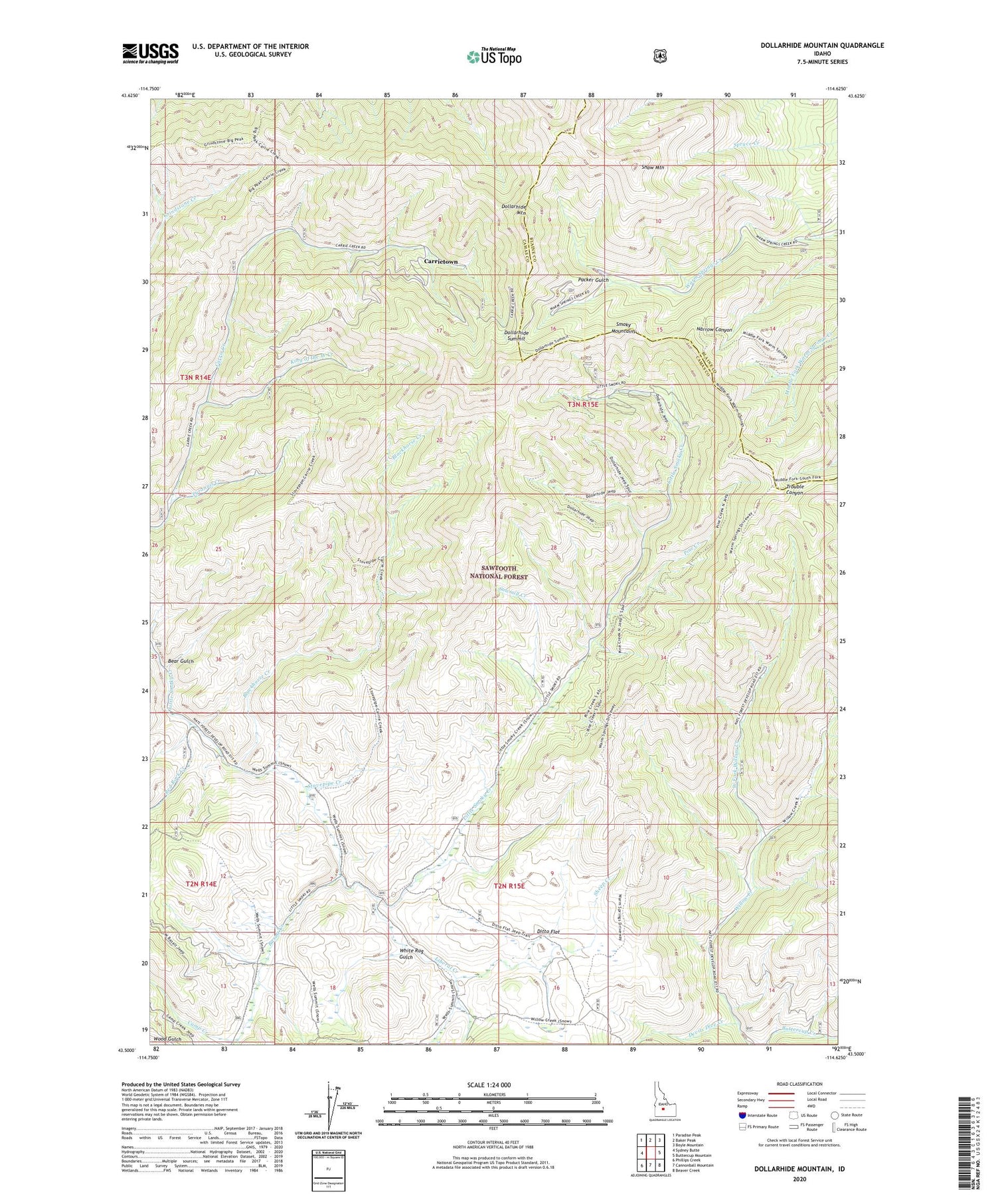
2023 topographic map quadrangle Dollarhide Mountain in the state of Idaho. Scale: 1:24000. Based on the newly updated USGS 7.5' US Topo map series, this map is in the following counties: Camas, Blaine. The map contains contour data, water features, and other items you are used to seeing on USGS maps, but also has updated roads and other features. This is the next generation of topographic maps. Printed on high-quality waterproof paper with UV fade-resistant inks.
Quads adjacent to this one:
West: Sydney Butte
Northwest: Paradise Peak
North: Baker Peak
Northeast: Boyle Mountain
East: Buttercup Mountain
Southeast: Beaver Creek
South: Cannonball Mountain
Southwest: Phillips Creek
This map covers the same area as the classic USGS quad with code o43114e6.
Contains the following named places: Alma Mine, Basalt Creek, Bear Gulch, Blackhorse Creek, Camas Cow Camp, Camp Creek, Carrie Leonard Mine, Carrietown, Devils Dive Creek, Ditto Flat, Dollarhide Mountain, Dollarhide Summit, Galore Mine, Gooding Corrals, Gooding Cow Camp, Horn Silver Mine, King of the West Creek, King of the West Mine, Last Chance Mine, Liberal Creek, Moose Creek Ranger Station, Packer Gulch, Pine Creek, Red Rock Creek, Rives Placer, Rollins Placer, Sawmill Creek, Shaw Mountain, Sheep Creek, Silver Star Mine, Stovepipe Creek, Tyrannis Creek, Tyrannis Mine, West Fork Willow Creek, White Rag Gulch


