MyTopo
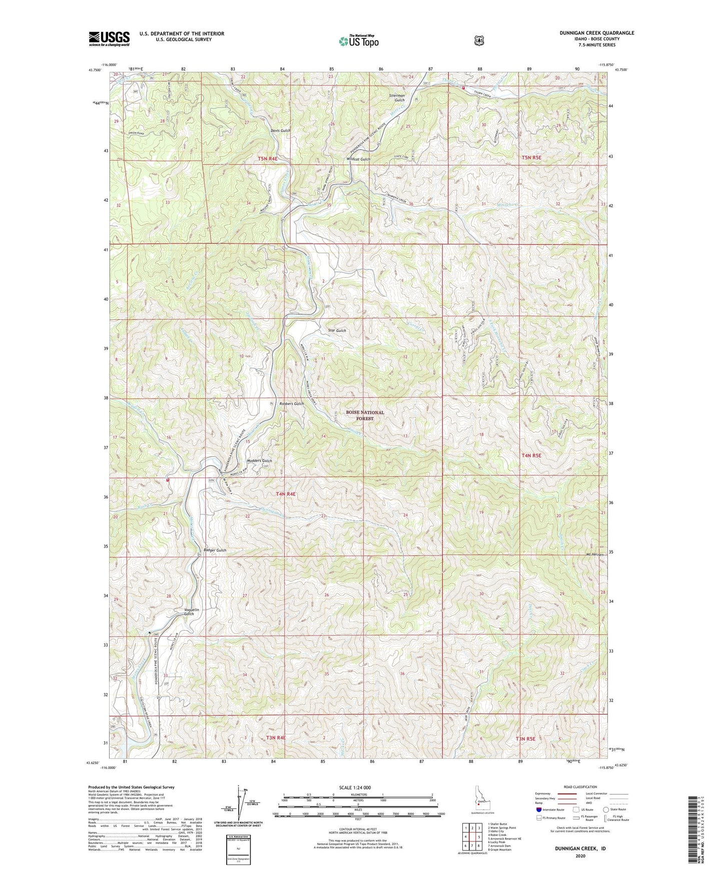
Dunnigan Creek Idaho US Topo Map
Couldn't load pickup availability
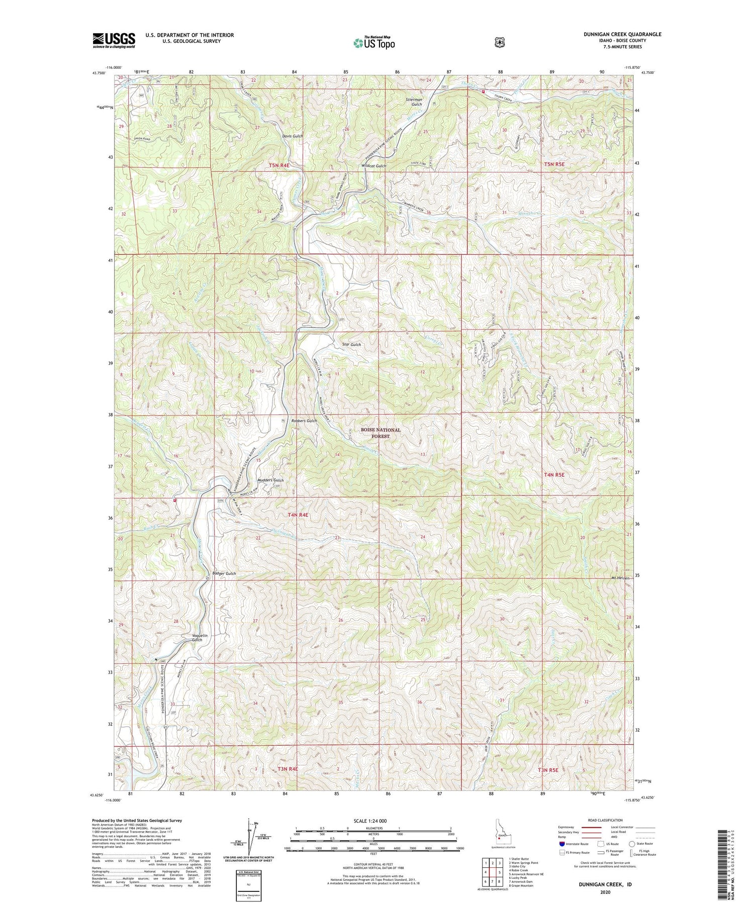
Also explore the Dunnigan Creek Forest Service Topo of this same quad for updated USFS data
2023 topographic map quadrangle Dunnigan Creek in the state of Idaho. Scale: 1:24000. Based on the newly updated USGS 7.5' US Topo map series, this map is in the following counties: Boise. The map contains contour data, water features, and other items you are used to seeing on USGS maps, but also has updated roads and other features. This is the next generation of topographic maps. Printed on high-quality waterproof paper with UV fade-resistant inks.
Quads adjacent to this one:
West: Robie Creek
Northwest: Shafer Butte
North: Warm Springs Point
Northeast: Idaho City
East: Arrowrock Reservoir NE
Southeast: Grape Mountain
South: Arrowrock Dam
Southwest: Lucky Peak
This map covers the same area as the classic USGS quad with code o43115f8.
Contains the following named places: Avelene Creek, Badger Gulch, Corral Creek, Daggett Creek, Davis Gulch, Dunnigan Creek, Grimes Creek, Indian Creek, Jackson Creek, Minneha Creek, Mudders Gulch, Placer Creek, Robbers Gulch, Robie Creek, Rush Creek, Smith Creek, South Fork Minneha Creek, Star Gulch, Stierman Gulch, Thorn Creek, Thorn Creek Campground, Voquelin Gulch, Wildcat Gulch, Wilderness Ranch Fire Protection District