MyTopo
Georgetown Idaho US Topo Map
Couldn't load pickup availability
Also explore the Georgetown Forest Service Topo of this same quad for updated USFS data
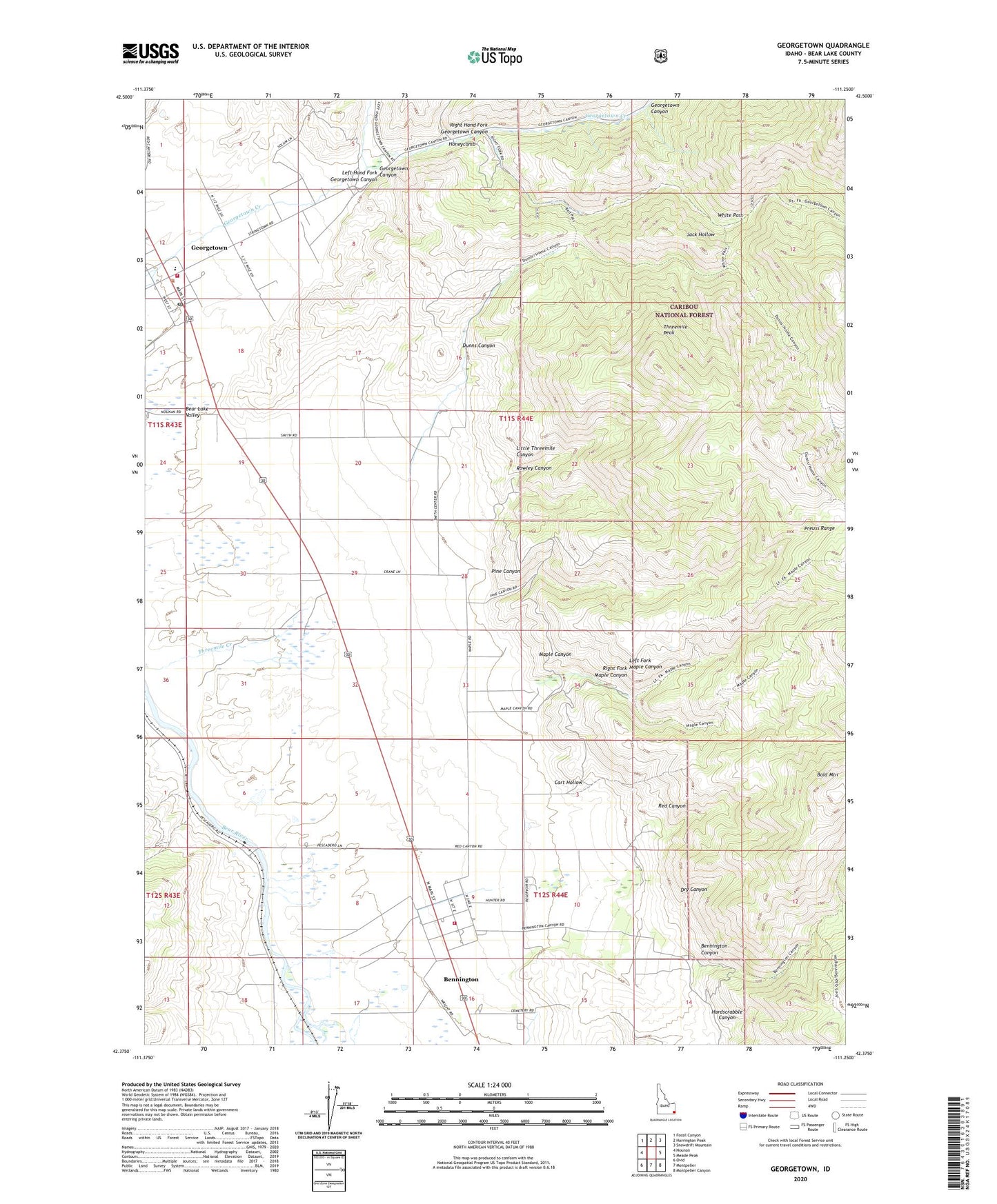
2023 topographic map quadrangle Georgetown in the state of Idaho. Scale: 1:24000. Based on the newly updated USGS 7.5' US Topo map series, this map is in the following counties: Bear Lake. The map contains contour data, water features, and other items you are used to seeing on USGS maps, but also has updated roads and other features. This is the next generation of topographic maps. Printed on high-quality waterproof paper with UV fade-resistant inks.
Quads adjacent to this one:
West: Nounan
Northwest: Fossil Canyon
North: Harrington Peak
Northeast: Snowdrift Mountain
East: Meade Peak
Southeast: Montpelier Canyon
South: Montpelier
Southwest: Ovid
This map covers the same area as the classic USGS quad with code o42111d3.
Contains the following named places: Bald Mountain, Bear Lake Volunteer Fire Protection District Station 10, Bear Lake Volunteer Fire Protection District Station 4, Bennington, Bennington Canyon, Bennington Cemetery, Bennington Census Designated Place, Cart Hollow, City of Georgetown, Dry Canyon, Dunns Canyon, East Hill, Georgetown, Georgetown Canyon, Georgetown Elementary School, Georgetown Post Office, Hardscrabble Canyon, Honeycomb, Jack Hollow, Left Fork Maple Canyon, Left Hand Fork Georgetown Canyon, Little Threemile Canyon, Maple Canyon, Pescadero Siding, Pine Canyon, Red Canyon, Red Pine Canyon Dam, Right Fork Maple Canyon, Right Hand Fork Georgetown Canyon, Rowley Canyon, Threemile Peak, Welling Number Two Dam, White Pass