MyTopo
Hog Creek Idaho US Topo Map
Couldn't load pickup availability
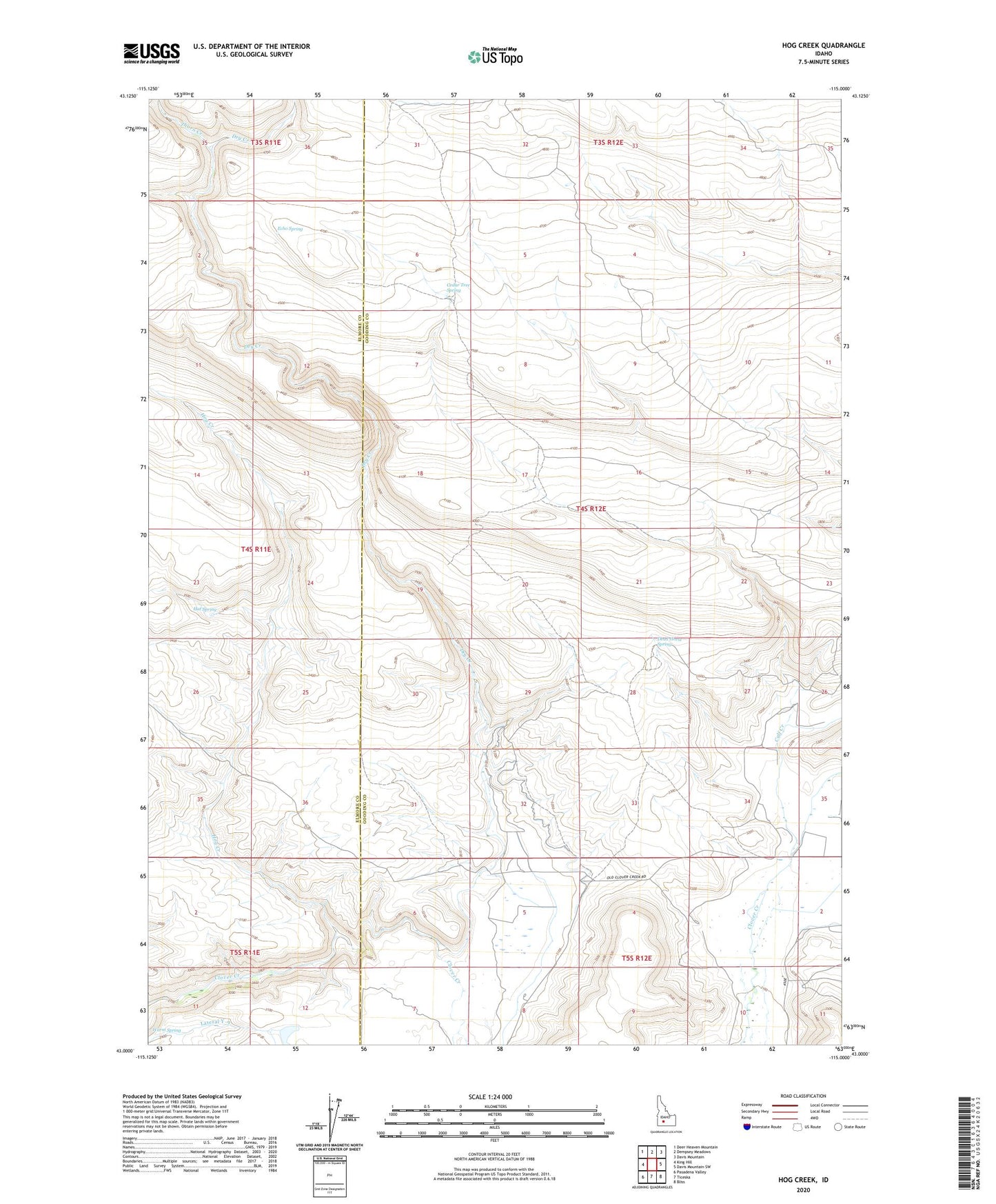
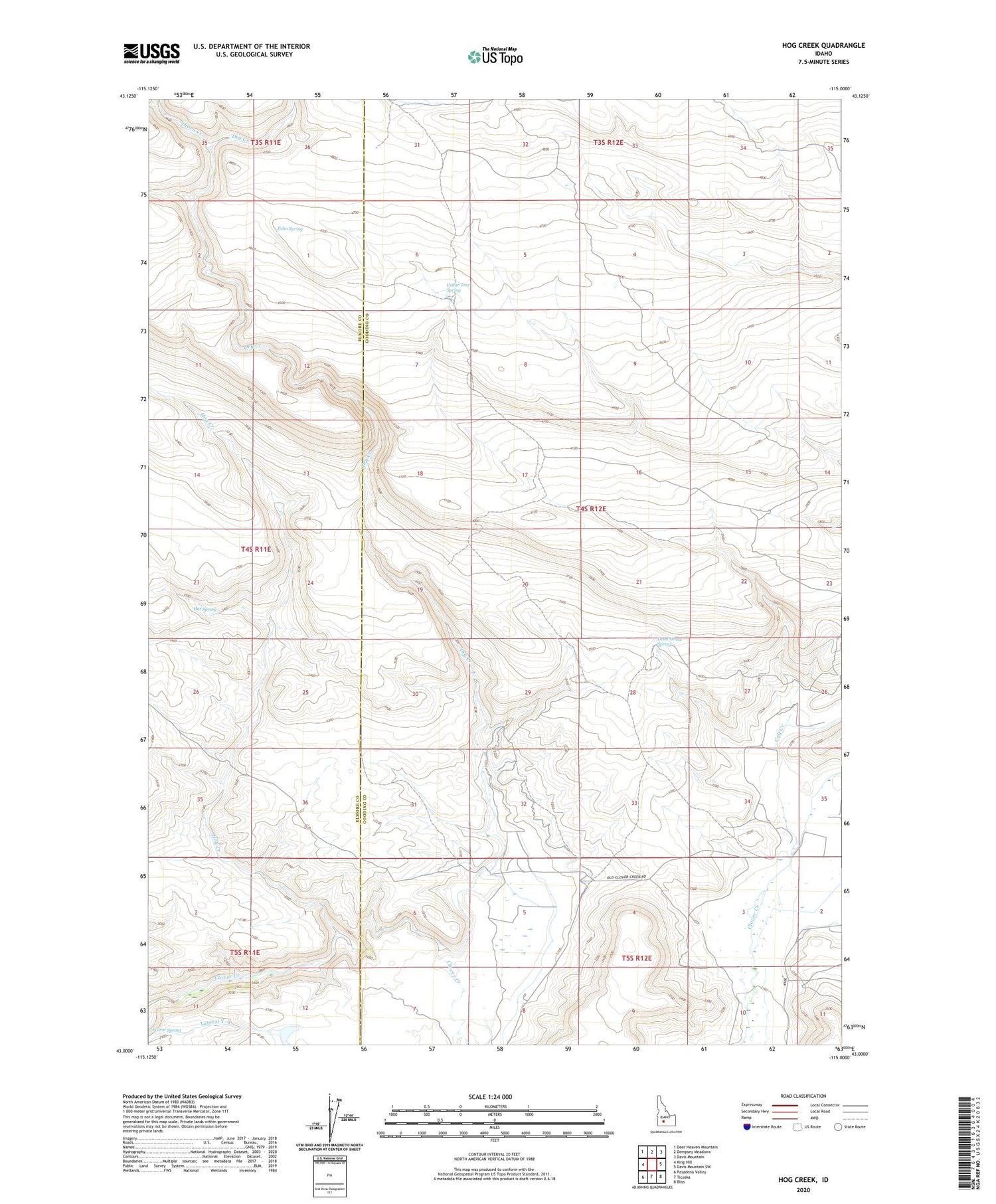
2023 topographic map quadrangle Hog Creek in the state of Idaho. Scale: 1:24000. Based on the newly updated USGS 7.5' US Topo map series, this map is in the following counties: Gooding, Elmore. The map contains contour data, water features, and other items you are used to seeing on USGS maps, but also has updated roads and other features. This is the next generation of topographic maps. Printed on high-quality waterproof paper with UV fade-resistant inks.
Quads adjacent to this one:
West: King Hill
Northwest: Deer Heaven Mountain
North: Dempsey Meadows
Northeast: Davis Mountain
East: Davis Mountain SW
Southeast: Bliss
South: Ticeska
Southwest: Pasadena Valley
This map covers the same area as the classic USGS quad with code o43115a1.
Contains the following named places: Calf Creek, Cedar Tree Spring, Clover Creek Wildlife Habitat Area, Dead Horse Spring, Dry Creek, Echo Spring, Hat Spring, Hog Creek, Thorn Creek