MyTopo
Trapper Peak Idaho US Topo Map
Couldn't load pickup availability
Also explore the Trapper Peak Forest Service Topo of this same quad for updated USFS data
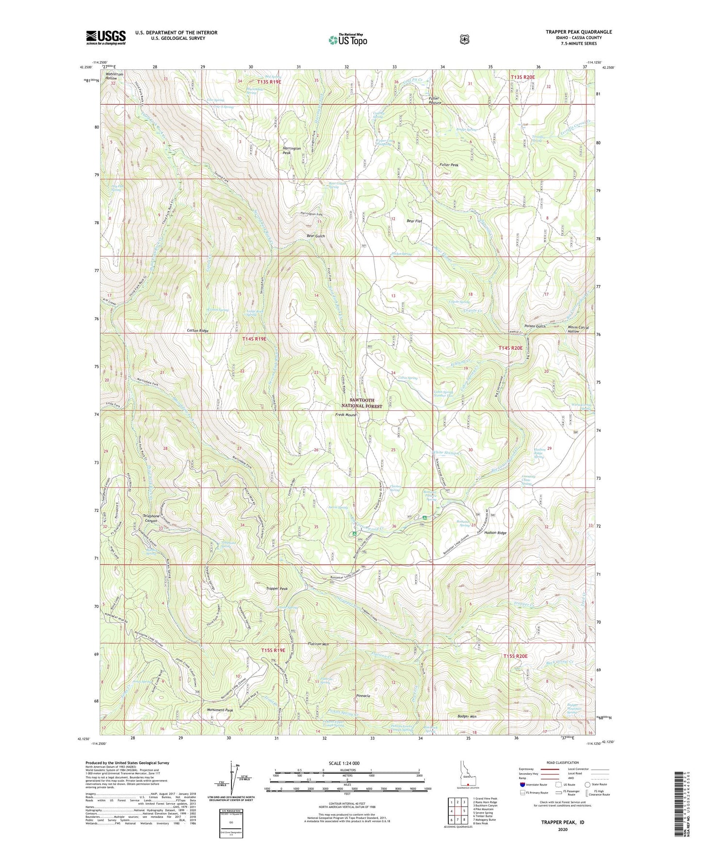
2024 topographic map quadrangle Trapper Peak in the state of Idaho. Scale: 1:24000. Based on the newly updated USGS 7.5' US Topo map series, this map is in the following counties: Cassia. The map contains contour data, water features, and other items you are used to seeing on USGS maps, but also has updated roads and other features. This is the next generation of topographic maps. Printed on high-quality waterproof paper with UV fade-resistant inks.
Quads adjacent to this one:
West: Pike Mountain
Northwest: Grand View Peak
North: Rams Horn Ridge
Northeast: Buckhorn Canyon
East: Severe Spring
Southeast: Ibex Peak
South: Mahogany Butte
Southwest: Timber Butte
This map covers the same area as the classic USGS quad with code o42114b2.
Contains the following named places: A H Creek, Badger Mountain, Badger Mountain Spring, Bear Flat, Bear Flat Creek, Bear Gulch, Bear Gulch Spring, Bed Spring, Bostetter Campground, Bostetter Forest Service Station, Bostetter Pasture Spring, Bostetter Spring, Briggs Spring, Buttars Spring, Cabin Spring, Cabin Spring Creek, Cabin Spring Number Two, Chicken Spring, Coal Pit Spring, Cotton Creek, Cotton Ridge, Cotton Spring, Counting Chute Spring, Cow Spring, Cow-S Spring, Coyote Creek, Coyote Spring, Cranny Spring, Dry Flat Spring, Dry Fork, Ecklund Creek, Father and Sons Campground, First Fork Rock Creek, Flatiron Creek, Flatiron Mountain, Flatiron Spring, Freds Mound, Fuller Pasture, Fuller Peak, Grouse Spring, Harrington Peak, Hudson Ridge, Hudson Ridge Spring, Jarvis Spring, Jones Spring, Ledge Rock Spring, Little Fork Third Fork Rock Creek, Martindale Fork, Martindale Spring, Monument Peak, Pickett Spring Creek, Picketts Lower Trough Spring, Picketts Upper Trough Spring, Pinnacle, Pocket Spring, Poison Gulch, Sawmill Creek, Second Fork Rock Creek, Telephone Canyon, Telephone Spring, Terrells Spring, Trail Creek, Trapper Peak, Upper Coal Pit Spring, White Stump Creek, Worm Corral Hollow, Worm Corral Spring


