MyTopo
Moody Idaho US Topo Map
Couldn't load pickup availability
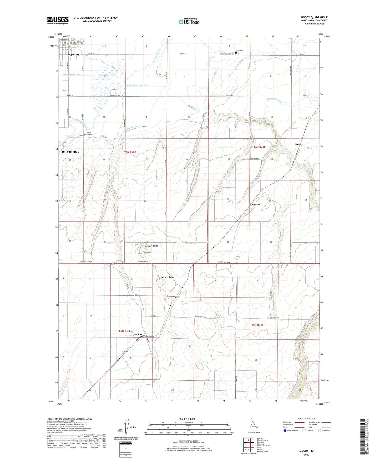
2024 topographic map quadrangle Moody in the state of Idaho. Scale: 1:24000. Based on the newly updated USGS 7.5' US Topo map series, this map is in the following counties: Madison. The map contains contour data, water features, and other items you are used to seeing on USGS maps, but also has updated roads and other features. This is the next generation of topographic maps. Printed on high-quality waterproof paper with UV fade-resistant inks.
Quads adjacent to this one:
West: Rexburg
Northwest: Parker
North: Saint Anthony
Northeast: Newdale
East: White Owl Butte
Southeast: Hawley Gulch
South: Heise
Southwest: Ririe
This map covers the same area as the classic USGS quad with code o43111g6.
Contains the following named places: Central Elementary School, Enterprise Canal, Gale, Madison County, Moody, Moody Creek, Moody Creek Access Area, Moody School, Parkinson, Sommers Butte, Sugar - Salem High School, Sugar City, Sugar City Cemetery, Sugar City Post Office, Sugar-Salem Junior High School, Teton Cemetery, Teton Island Canal, Walker, Webster Butte, Woodmansee Johnson Canal, Woods Crossing, ZIP Codes: 83448, 83451