MyTopo
Nezperce SE Idaho US Topo Map
Couldn't load pickup availability
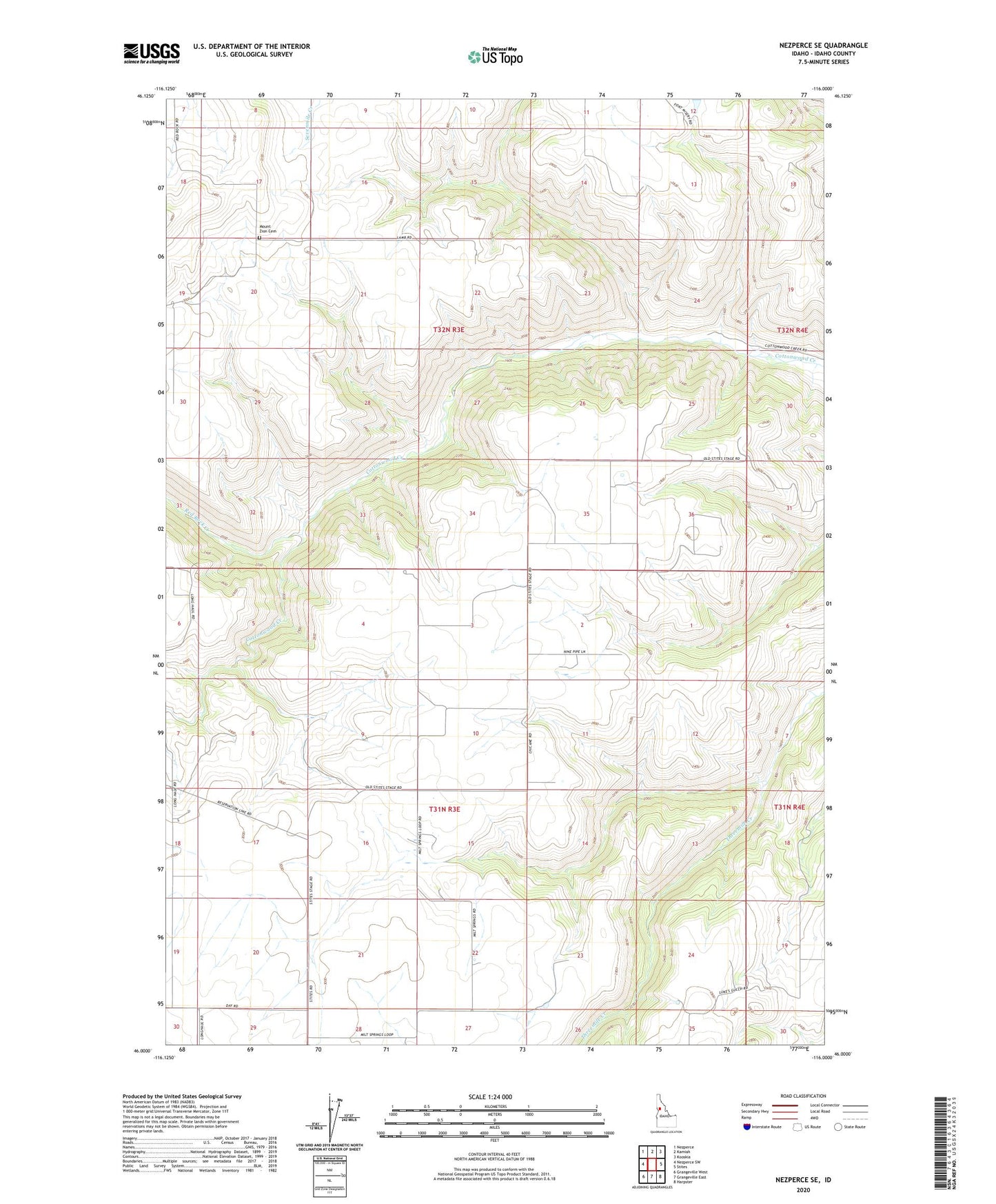
2024 topographic map quadrangle Nezperce SE in the state of Idaho. Scale: 1:24000. Based on the newly updated USGS 7.5' US Topo map series, this map is in the following counties: Idaho. The map contains contour data, water features, and other items you are used to seeing on USGS maps, but also has updated roads and other features. This is the next generation of topographic maps. Printed on high-quality waterproof paper with UV fade-resistant inks.
Quads adjacent to this one:
West: Nezperce SW
Northwest: Nezperce
North: Kamiah
Northeast: Kooskia
East: Stites
Southeast: Harpster
South: Grangeville East
Southwest: Grangeville West
This map covers the same area as the classic USGS quad with code o46116a1.
Contains the following named places: Mount Zion Cemetery, Red Rock Creek