MyTopo
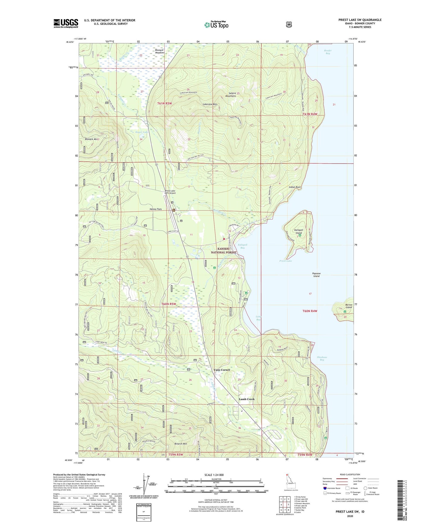
Priest Lake SW Idaho US Topo Map
Couldn't load pickup availability
Also explore the Priest Lake SW Forest Service Topo of this same quad for updated USFS data
2024 topographic map quadrangle Priest Lake SW in the state of Idaho. Scale: 1:24000. Based on the newly updated USGS 7.5' US Topo map series, this map is in the following counties: Bonner. The map contains contour data, water features, and other items you are used to seeing on USGS maps, but also has updated roads and other features. This is the next generation of topographic maps. Printed on high-quality waterproof paper with UV fade-resistant inks.
Quads adjacent to this one:
West: Gleason Mountain
Northwest: Orwig Hump
North: Priest Lake NW
Northeast: Priest Lake NE
East: Priest Lake SE
Southeast: Coolin
South: Outlet Bay
Southwest: Galena Point
This map covers the same area as the classic USGS quad with code o48116e8.
Contains the following named places: Baritoe Campground, Bartoo Island, Binarch Mountain, Bismark Meadows, Bismark Mountain, Hager Lake, Hanna Flats, Hanna Flats Nature Trail, Hazard Creek, Indian Rock, Kalispell Bay, Kalispell Creek, Kalispell Island, Kalispell Point Boat Ramp, Lakeview Mountain, Lamb Creek, Luby Bay, Luby Bay Campground, North Cove Campground, Osprey Campground, Papoose Island, Priest Lake Ambulance Service, Priest Lake Elementary School, Priest Lake Golf Club, Priest Lake Marina, Priest Lake Ranger Station, Priest Lake USFS Airport, Reeder Bay, Reeder Creek, Reynolds Creek, Rocky Point Campground, Schneider Campground, Shoshone Bay, Silver Campground, Spruce, Three Pines Campground, Vans Corner, West Priest Lake Fire Department Station 1, Woodrat Mine


