MyTopo
Reservoir Mountain Idaho US Topo Map
Couldn't load pickup availability
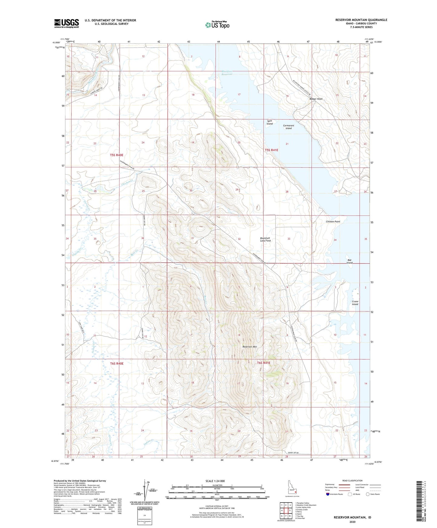
2024 topographic map quadrangle Reservoir Mountain in the state of Idaho. Scale: 1:24000. Based on the newly updated USGS 7.5' US Topo map series, this map is in the following counties: Caribou. The map contains contour data, water features, and other items you are used to seeing on USGS maps, but also has updated roads and other features. This is the next generation of topographic maps. Printed on high-quality waterproof paper with UV fade-resistant inks.
Quads adjacent to this one:
West: Grizzly Creek
Northwest: Paradise Valley
North: Meadow Creek Mountain
Northeast: Little Valley Hills
East: Henry
Southeast: China Hat
South: The Dip
Southwest: Hatch
This map covers the same area as the classic USGS quad with code o42111h6.
Contains the following named places: Badger Knoll, Bay Island, Bear Creek, Chicken Creek, Chicken Point, Cormorant Island, Crane Island, Grizzly Creek, Hopkins Landing, Indian Creek, Northside Narrows Access Area, Reservoir Mountain, Split Island, The Narrows