MyTopo
Rooster Comb Peak Idaho US Topo Map
Couldn't load pickup availability
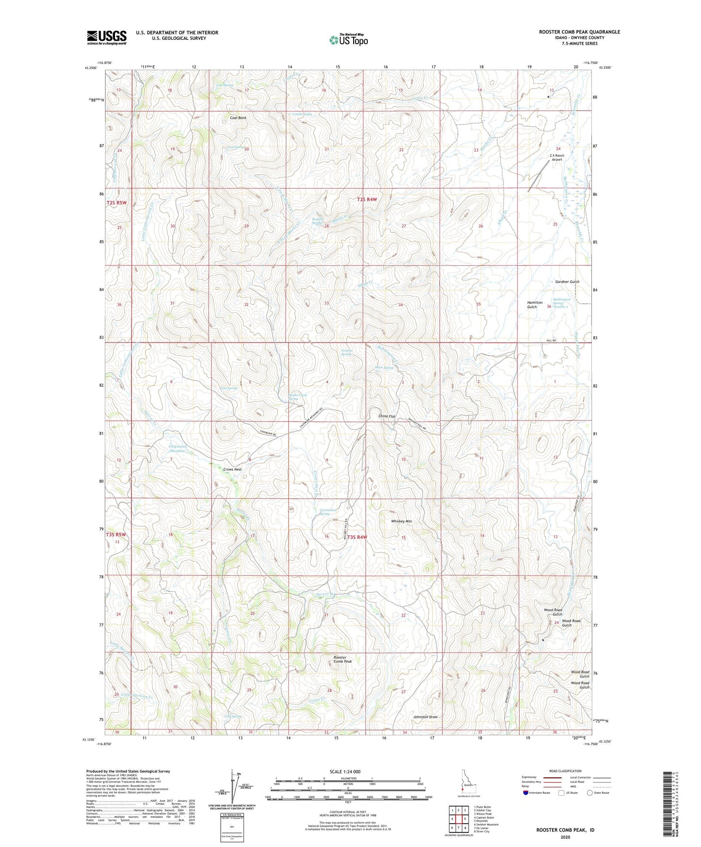
2023 topographic map quadrangle Rooster Comb Peak in the state of Idaho. Scale: 1:24000. Based on the newly updated USGS 7.5' US Topo map series, this map is in the following counties: Owyhee. The map contains contour data, water features, and other items you are used to seeing on USGS maps, but also has updated roads and other features. This is the next generation of topographic maps. Printed on high-quality waterproof paper with UV fade-resistant inks.
Quads adjacent to this one:
West: Captain Butte
Northwest: Piute Butte
North: Soldier Cap
Northeast: Wilson Peak
East: Reynolds
Southeast: Silver City
South: De Lamar
Southwest: Swisher Mountain
This map covers the same area as the classic USGS quad with code o43116b7.
Contains the following named places: Alkali Creek, Babbington Creek, Babbington Spring Number 2, Bergh Mine, Boghole Spring, China Flat, Chipmunk Meadow, Coal Bank, Coal Spring, Cold Spring, Cottle Creek, Cottle Lake, Crane Creek, Crest Spring, Crows Nest, Crows Nest Creek, Crows Nest Spring, Figure Four Creek, Gardner Gulch, Granite Creek, Granite Spring, Hamilton Gulch, Ida Belle Mine, Little Cottonwood Creek, Macks Creek, Macks Creek Spring, Monarca Mine, North Fork Macks Creek, Rooster Comb Peak, Share, Sheep Creek, South Fork Macks Creek, Stove Spring, Twin Spring, Whiskey Mountain, Wood Road Gulch, Z X Ranch Airport