MyTopo
Soldier Cap Idaho US Topo Map
Couldn't load pickup availability
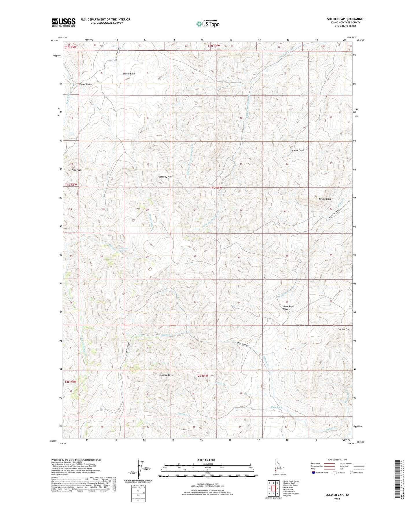
2023 topographic map quadrangle Soldier Cap in the state of Idaho. Scale: 1:24000. Based on the newly updated USGS 7.5' US Topo map series, this map is in the following counties: Owyhee. The map contains contour data, water features, and other items you are used to seeing on USGS maps, but also has updated roads and other features. This is the next generation of topographic maps. Printed on high-quality waterproof paper with UV fade-resistant inks.
Quads adjacent to this one:
West: Piute Butte
Northwest: Jump Creek Canyon
North: Opalene Gulch
Northeast: Givens Hot Springs
East: Wilson Peak
Southeast: Reynolds
South: Rooster Comb Peak
Southwest: Captain Butte
This map covers the same area as the classic USGS quad with code o43116c7.
Contains the following named places: Farrot Creek, Getaway Mountain, Horse Race Ridge, Lemonade Spring, Little Hardtrigger Creek, Middle Fork Hardtrigger Creek, Murphy Creek, Pole Creek, Rodeo Gulch, Salmon Butte, Salmon Creek, Shares Basin, Soldier Cap, Tims Peak, Wilson Bluff