MyTopo
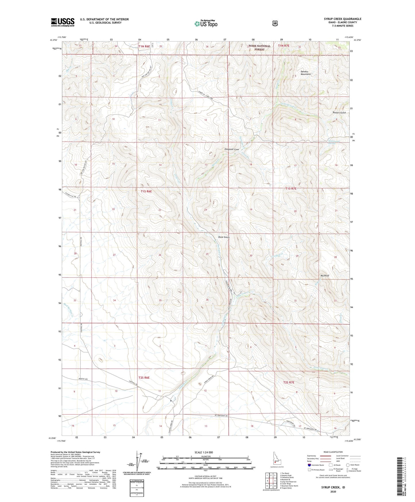
Syrup Creek Idaho US Topo Map
Couldn't load pickup availability
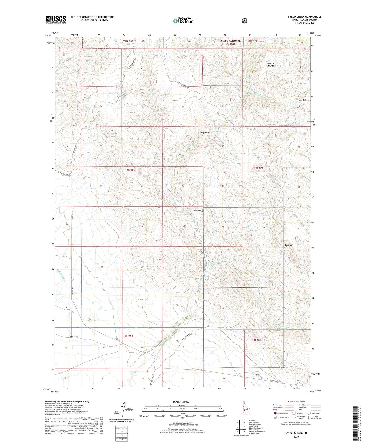
Also explore the Syrup Creek Forest Service Topo of this same quad for updated USFS data
2024 topographic map quadrangle Syrup Creek in the state of Idaho. Scale: 1:24000. Based on the newly updated USGS 7.5' US Topo map series, this map is in the following counties: Elmore. The map contains contour data, water features, and other items you are used to seeing on USGS maps, but also has updated roads and other features. This is the next generation of topographic maps. Printed on high-quality waterproof paper with UV fade-resistant inks.
Quads adjacent to this one:
West: Mayfield SE
Northwest: The Roost
North: Danskin Peak
Northeast: Cathedral Rocks
East: Long Tom Reservoir
Southeast: Teapot Dome
South: Mountain Home North
Southwest: Crater Rings
This map covers the same area as the classic USGS quad with code o43115c6.
Contains the following named places: Big Bluff, Cottonwood Creek, Cottonwood Springs, Cove Creek, Crooked Creek, Crown Creek, Dixie Gulch, Echo Creek, Emigrant Cove, Long Tom Creek, Paradise Creek, Syrup Creek, Teetors Gulch, Thorn Creek