MyTopo
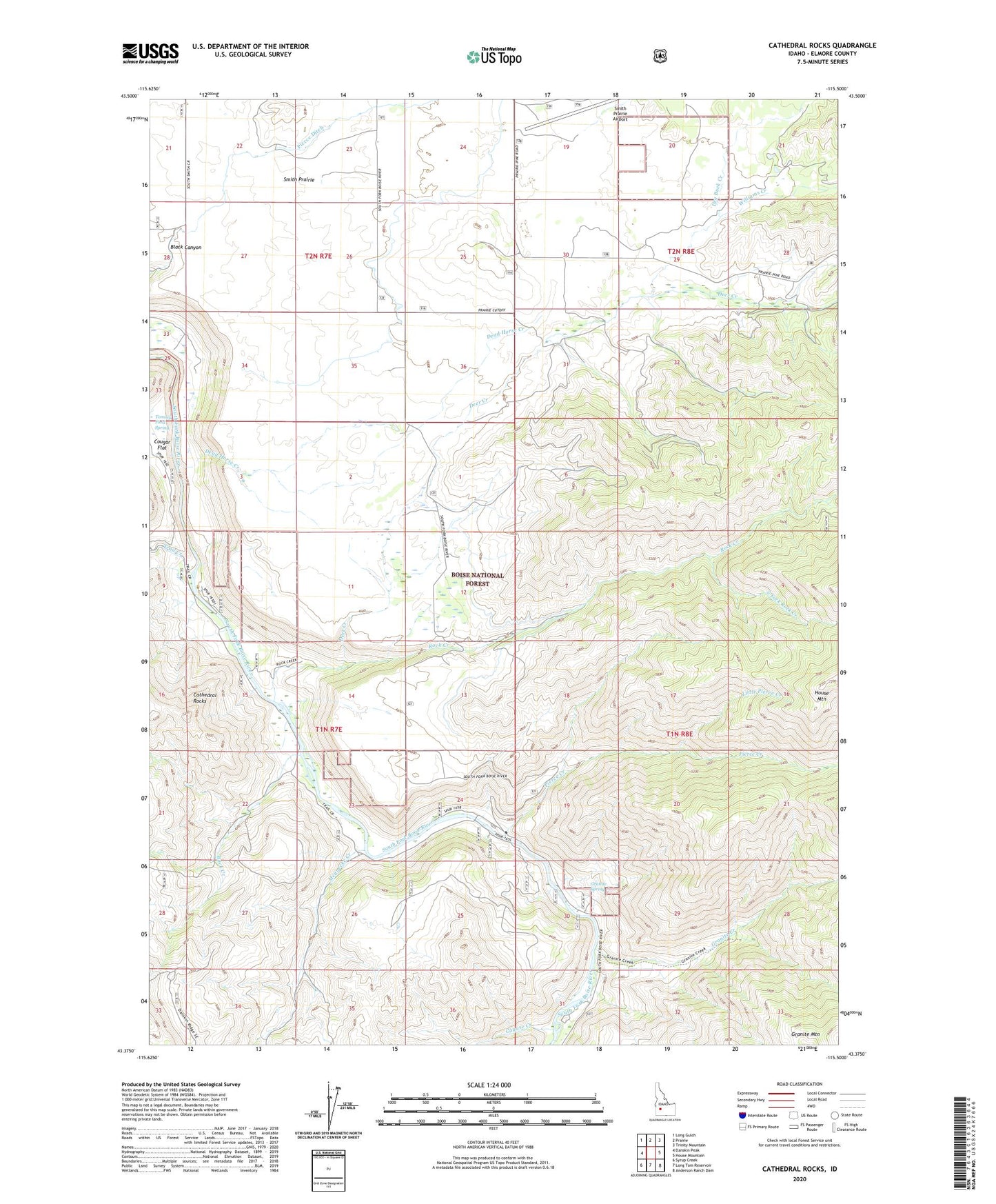
Cathedral Rocks Idaho US Topo Map
Couldn't load pickup availability
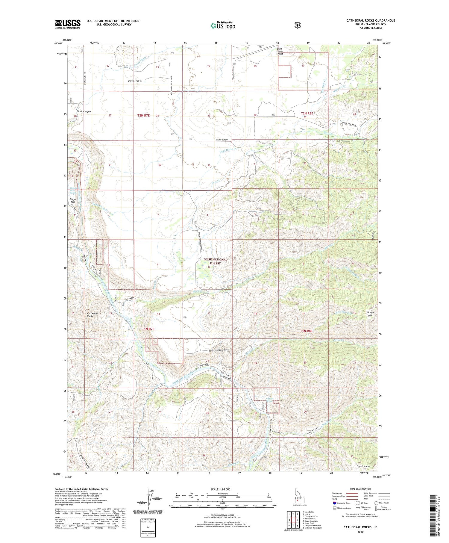
Also explore the Cathedral Rocks Forest Service Topo of this same quad for updated USFS data
2024 topographic map quadrangle Cathedral Rocks in the state of Idaho. Scale: 1:24000. Based on the newly updated USGS 7.5' US Topo map series, this map is in the following counties: Elmore. The map contains contour data, water features, and other items you are used to seeing on USGS maps, but also has updated roads and other features. This is the next generation of topographic maps. Printed on high-quality waterproof paper with UV fade-resistant inks.
Quads adjacent to this one:
West: Danskin Peak
Northwest: Long Gulch
North: Prairie
Northeast: Trinity Mountain
East: House Mountain
Southeast: Anderson Ranch Dam
South: Long Tom Reservoir
Southwest: Syrup Creek
This map covers the same area as the classic USGS quad with code o43115d5.
Contains the following named places: Bock Creek, Cathedral Rocks, Cayuse Creek, Danskin Guard Station, Dead Horse Creek, Deer Creek, Dry Buck Creek, Granite Creek, Granite Spring, Granite Spring Campground, Little Pierce Creek, Mennecke Creek, Pierce Creek, Rock Creek, Smith Prairie, Smith Prairie Airport, South Fork Rock Creek, Tommy Field Spring, Trail Creek, Williams Creek, ZIP Code: 83647