MyTopo
War Eagle Mountain Idaho US Topo Map
Couldn't load pickup availability
Also explore the War Eagle Mountain Forest Service Topo of this same quad for updated USFS data
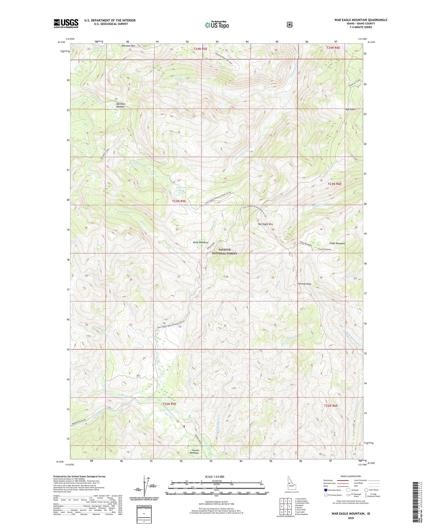
2024 topographic map quadrangle War Eagle Mountain in the state of Idaho. Scale: 1:24000. Based on the newly updated USGS 7.5' US Topo map series, this map is in the following counties: Idaho. The map contains contour data, water features, and other items you are used to seeing on USGS maps, but also has updated roads and other features. This is the next generation of topographic maps. Printed on high-quality waterproof paper with UV fade-resistant inks.
Quads adjacent to this one:
West: Burgdorf
Northwest: Carey Dome
North: Johnson Butte
Northeast: Cottontail Point
East: Warren
Southeast: Pony Meadows
South: Loon Lake
Southwest: Victor Peak
This map covers the same area as the classic USGS quad with code o45115c7.
Contains the following named places: California Lake, Chimney Rock, Flat Creek, Floyd Meadows, Golden Rule Placer Mine, Grouse Creek, Humboldt Mine, Kelly Meadows, Marshall Meadow, Marshall Mountain, Piah Creek, Rye Patch, Sand Creek, Secesh Meadow Rural Fire District, Smithy Creek, Union Creek, Wallis Cabin, War Eagle Mountain, War Eagle Mountain Lookout, Warm Spring Creek