MyTopo
Westlake Idaho US Topo Map
Couldn't load pickup availability
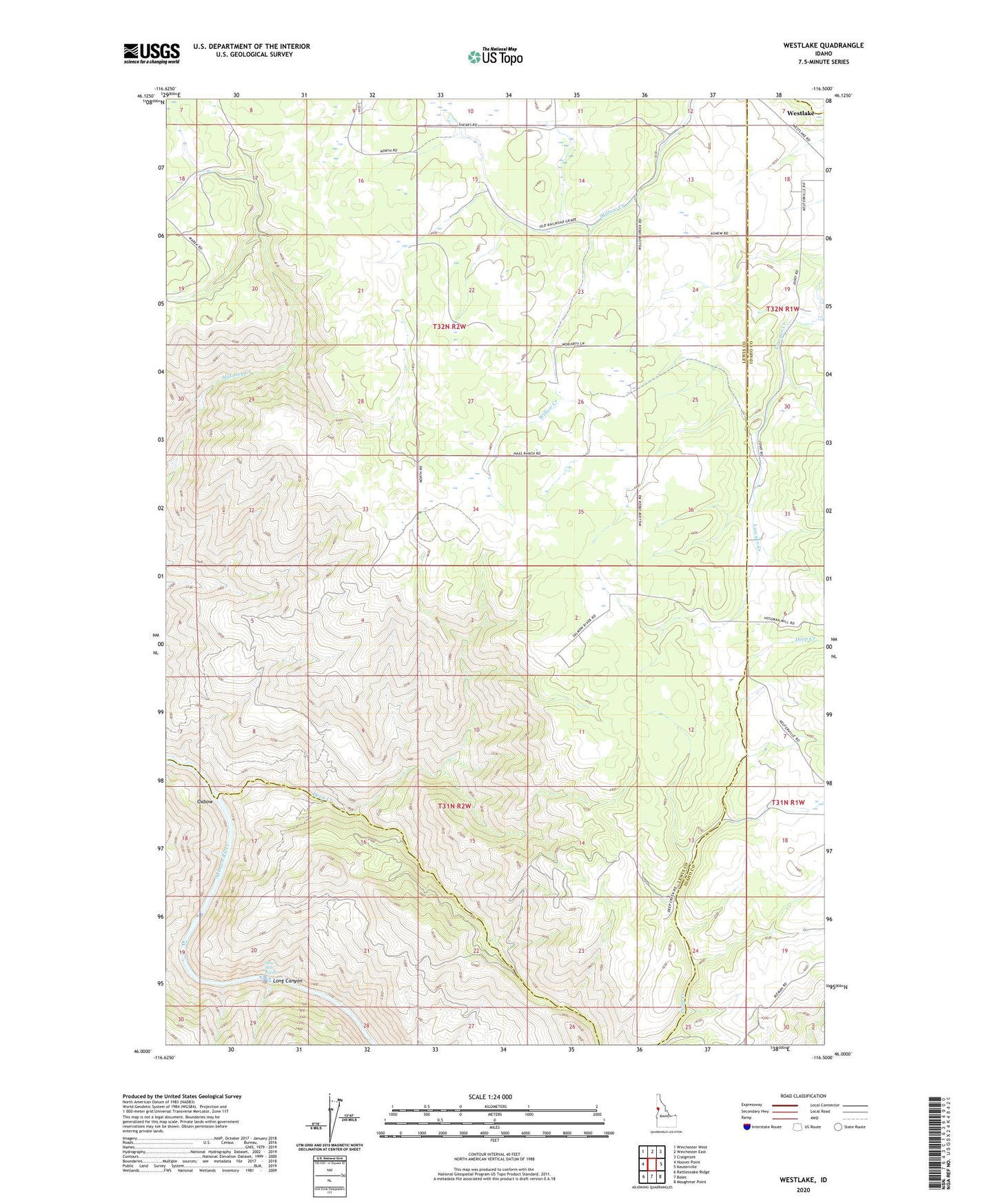
2024 topographic map quadrangle Westlake in the state of Idaho. Scale: 1:24000. Based on the newly updated USGS 7.5' US Topo map series, this map is in the following counties: Lewis, Idaho. The map contains contour data, water features, and other items you are used to seeing on USGS maps, but also has updated roads and other features. This is the next generation of topographic maps. Printed on high-quality waterproof paper with UV fade-resistant inks.
Quads adjacent to this one:
West: Hoover Point
Northwest: Winchester West
North: Winchester East
Northeast: Craigmont
East: Keuterville
Southeast: Moughmer Point
South: Boles
Southwest: Rattlesnake Ridge
This map covers the same area as the classic USGS quad with code o46116a5.
Contains the following named places: Deep Creek, Long Canyon, Snow Hole Rapids, South Lewis Division, Westlake