MyTopo
Arenzville East Illinois US Topo Map
Couldn't load pickup availability
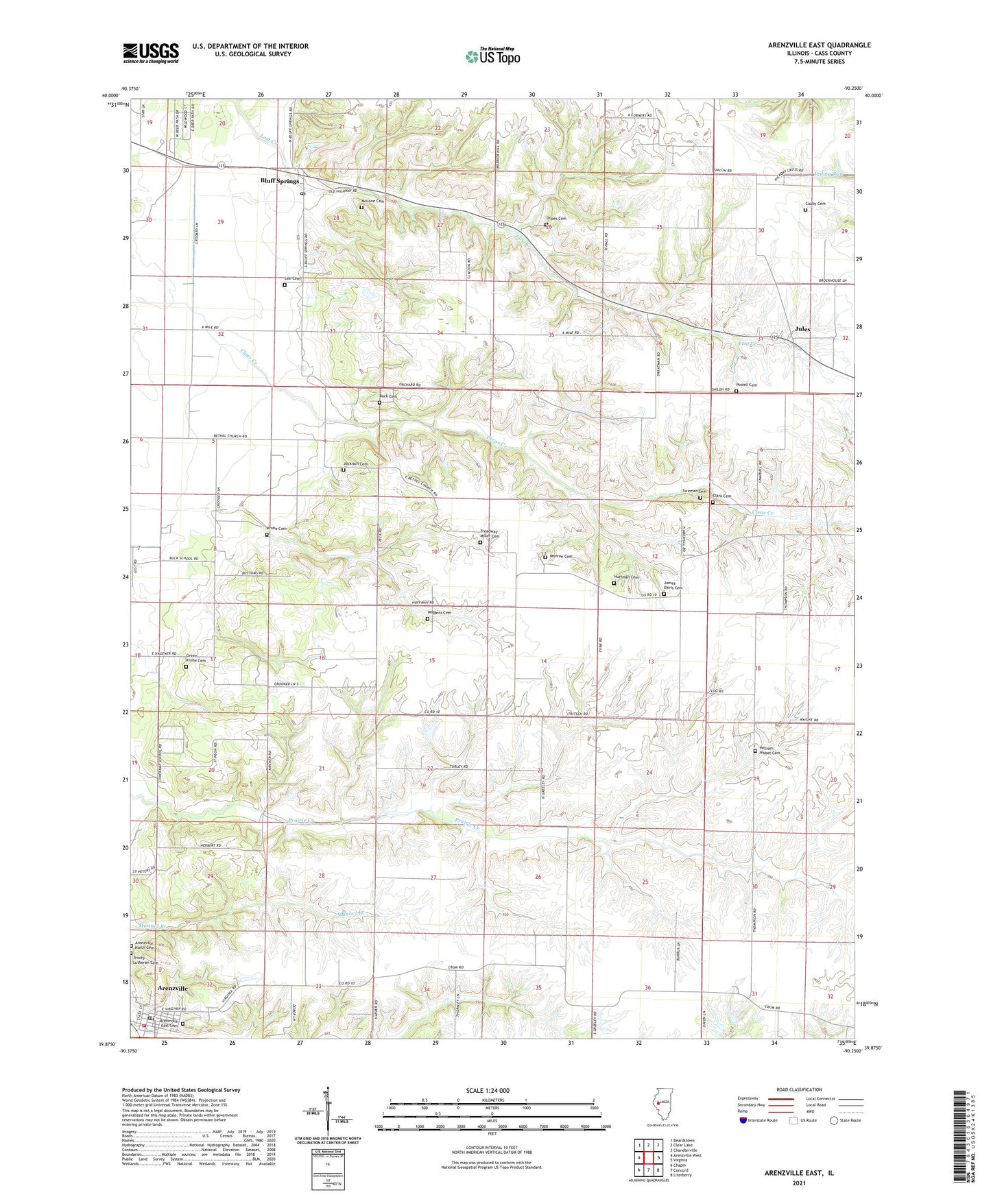
2024 topographic map quadrangle Arenzville East in the state of Illinois. Scale: 1:24000. Based on the newly updated USGS 7.5' US Topo map series, this map is in the following counties: Cass. The map contains contour data, water features, and other items you are used to seeing on USGS maps, but also has updated roads and other features. This is the next generation of topographic maps. Printed on high-quality waterproof paper with UV fade-resistant inks.
Quads adjacent to this one:
West: Arenzville West
Northwest: Beardstown
North: Clear Lake
Northeast: Chandlerville
East: Virginia
Southeast: Literberry
South: Concord
Southwest: Chapin
This map covers the same area as the classic USGS quad with code o39090h3.
Contains the following named places: Arenzville, Arenzville East Cemetery, Arenzville North Cemetery, Arenzville Post Office, Arenzville Volunteer Fire Department, Bethel Church, Bluff Springs, Bluff Springs Post Office, Bluff Springs School, Buck Cemetery, Buck School, Cass, Cauby Cemetery, Clark Cemetery, Dupes Cemetery, Green Krohe Cemetery, Huffman Cemetery, James Davis Cemetery, Jockisch Cemetery, Jules, Krohe Cemetery, Krohe School, Lee Cemetery, Lovecamp School, McLane Cemetery, Monroe Cemetery, Monroe School, Pleasant Hill School, Powell Cemetery, Providence School, Shick Shack Sand Pond Nature Preserve, Springer School, Township of Arenzville, Treadway Miller Cemetery, Trinity Lutheran Cemetery, Tureman Cemetery, Union Grove School, Union School, Village of Arenzville, Virginia Country Club, Warrior School, Wiggens Cemetery, William Nisbet Cemetery, ZIP Code: 62622