MyTopo
Farmington East Illinois US Topo Map
Couldn't load pickup availability
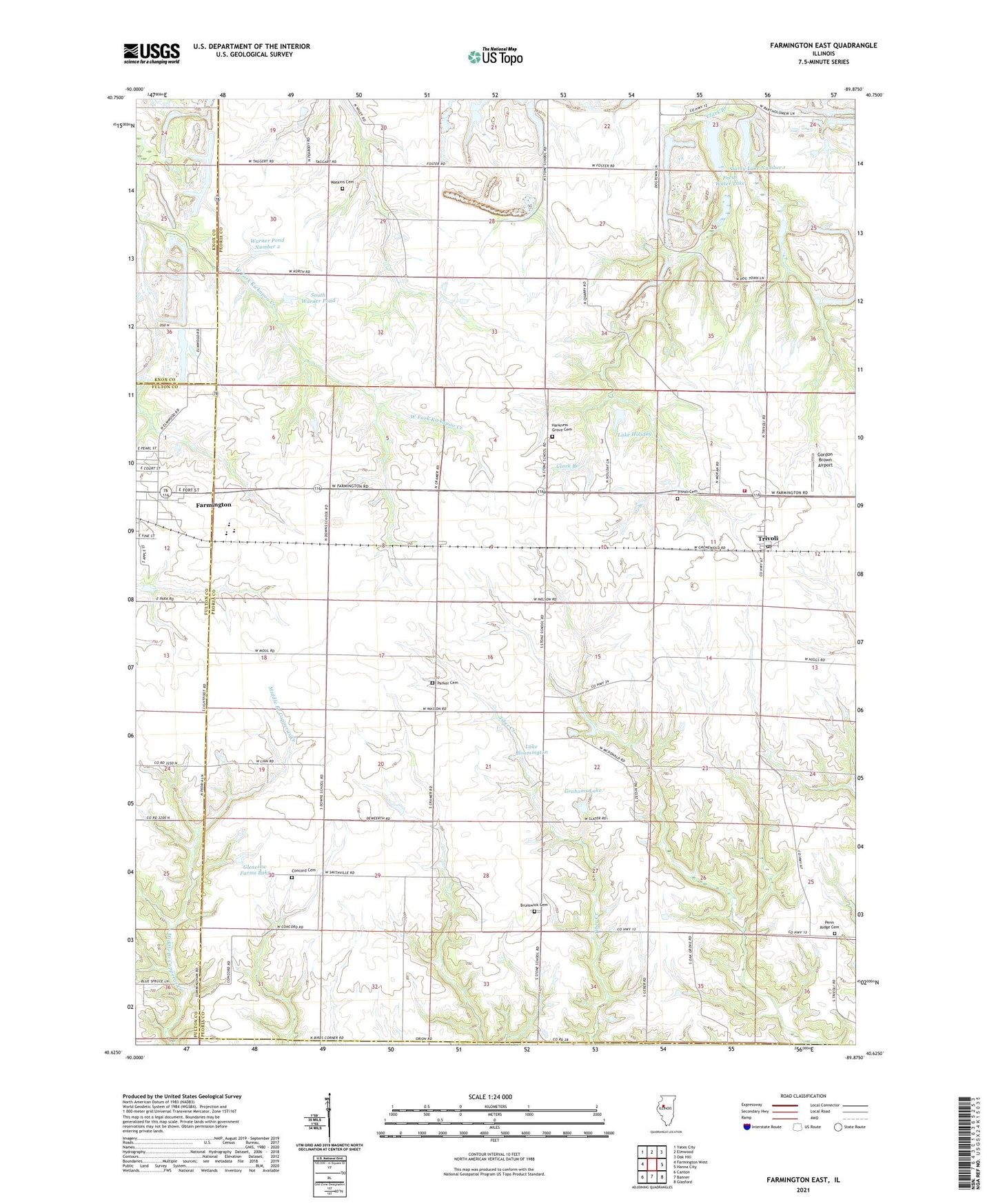
2024 topographic map quadrangle Farmington East in the state of Illinois. Scale: 1:24000. Based on the newly updated USGS 7.5' US Topo map series, this map is in the following counties: Peoria, Fulton, Knox. The map contains contour data, water features, and other items you are used to seeing on USGS maps, but also has updated roads and other features. This is the next generation of topographic maps. Printed on high-quality waterproof paper with UV fade-resistant inks.
Quads adjacent to this one:
West: Farmington West
Northwest: Yates City
North: Elmwood
Northeast: Oak Hill
East: Hanna City
Southeast: Glasford
South: Banner
Southwest: Canton
This map covers the same area as the classic USGS quad with code o40089f8.
Contains the following named places: Bickford School, Blue School, Brunswick Cemetery, Brunswick School, Center School, Concord Cemetery, Concord Church, Concord School, Cramer, Downs School, Farmington Central School, Farmington High School, Fresh Water Lake, Fresh Water Lake Dam, Glenview Farms Lake, Glenview Farms Lake Dam, Gordon Brown Airport, Graham Chapel, Grahams Lake, Grahams Lake Dam, Harkness Grove Cemetery, Harkness Grove School, Lake Bloomington, Lake Holiday, Lake Holiday Dam, Logan - Trivoli Fire Protection District Trivoli Station, Parker Cemetery, Pea Ridge School, Penn Ridge Cemetery, Penn Ridge Church, Slurry Lake Number 1, Slurry Lake Number 1 Dam, South Warner Pond, South Warner Pond Dam, Texas School, Township of Trivoli, Trivoli, Trivoli Cemetery, Trivoli Census Designated Place, Trivoli Post Office, Warner Pond Number 2, Warner Pond Number 2 Dam, Watkins Cemetery, White School, WZXT-FM (Farmington), ZIP Code: 61569