MyTopo
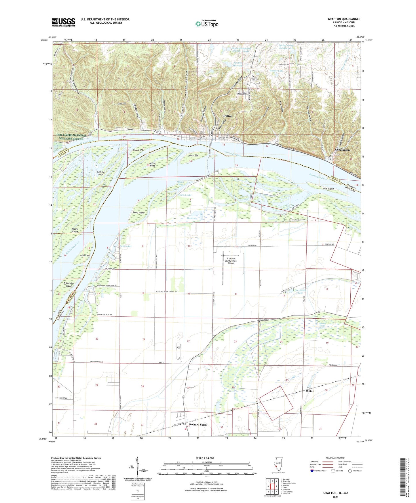
Grafton Illinois US Topo Map
Couldn't load pickup availability
2024 topographic map quadrangle Grafton in the states of Missouri, Illinois. Scale: 1:24000. Based on the newly updated USGS 7.5' US Topo map series, this map is in the following counties: Jersey, St. Charles, Calhoun. The map contains contour data, water features, and other items you are used to seeing on USGS maps, but also has updated roads and other features. This is the next generation of topographic maps. Printed on high-quality waterproof paper with UV fade-resistant inks.
Quads adjacent to this one:
West: Brussels
Northwest: Nutwood
North: Otterville
Northeast: Jerseyville South
East: Elsah
Southeast: Florissant
South: Saint Charles
Southwest: Kampville
Contains the following named places: Airport Lake, Airstrip Reservoir, Airstrip Reservoir Dam, Babbs Hollow, Baby Hollow, Barweis Cemetery, Beckett, Camden, Camden Hollow, Chautauqua, Chickahominy Lake, City of Grafton, Coon Lake, Dagett Hollow, Deer Plain Ferry, Department of Corrections Heliport, Distillery Hollow, Enterprise Island, Grafton, Grafton Landing, Grafton Post Office, Graham Hollow, Hooper Lake, Hooper Lake Dam, Illinois River, Island 521, Island 525, Island 526, Jerseyville Hollow, Lake View School, Long Lake, Luesse Lake, Luesseville Lake, Marais Temps Clair, Mason Chute, Mason Hollow, Mason Island, Mertz Lake, New Piasa Chautauqua Historic District, Nugent-Schpanski Number 6 Dam, Nugent-Schpanski Number 6 Lake, Orchard Farm, Orchard Farm Elementary School, Orchard Farm Fire Protection District, Orchard Farm High School, Orchard Farm Middle School, Perry Island, Phelps School, Pleasant Union School, Rice Hollow, Scenic Hill Cemetery, Sherman Hollow, Silver Lake, Simms Hollow, Slim Island, Spring Valley Estates Lake, Spring Valley Estates Lake Dam, Squaw Island, St Charles County Smartt Airport, Township of Quarry, Twin Lakes, Valley School, Wilkie, ZIP Code: 63373


