MyTopo
Grandview Illinois US Topo Map
Couldn't load pickup availability
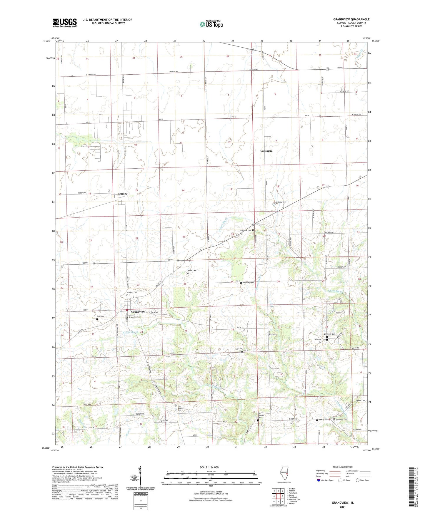
2024 topographic map quadrangle Grandview in the state of Illinois. Scale: 1:24000. Based on the newly updated USGS 7.5' US Topo map series, this map is in the following counties: Edgar. The map contains contour data, water features, and other items you are used to seeing on USGS maps, but also has updated roads and other features. This is the next generation of topographic maps. Printed on high-quality waterproof paper with UV fade-resistant inks.
Quads adjacent to this one:
West: Kansas
Northwest: Brocton
North: Redmon
Northeast: Paris North
East: Paris South
Southeast: Marshall
South: Clarksville
Southwest: Westfield East
This map covers the same area as the classic USGS quad with code o39087e7.
Contains the following named places: Asher School, Augustus Cemetery, Barr Johnson Cemetery, Beatty Cemetery, Bell Ridge, Bell Ridge Church, Bell Ridge School, Brinkerhoff School, Buchanan School, Bussart Airport, Cherry Grove, Cholera Cemetery, Chronic Cemetery, Conlogue, Conlogue School, Cross Roads School, Dudley, Fairview School, Gill Cemetery, Glatthaar Airport, Grandview, Grandview Cemetery, Grandview Fire Department, Hinds Cemetery, Huffman Cemetery, New Goshen Cemetery, New Goshen School, O'Hair Cemetery, Rudy Cemetery, Stephens Cemetery, Tate Cemetery, Township of Grandview, Waller School, Zimmerly Cemetery