MyTopo
New City Illinois US Topo Map
Couldn't load pickup availability
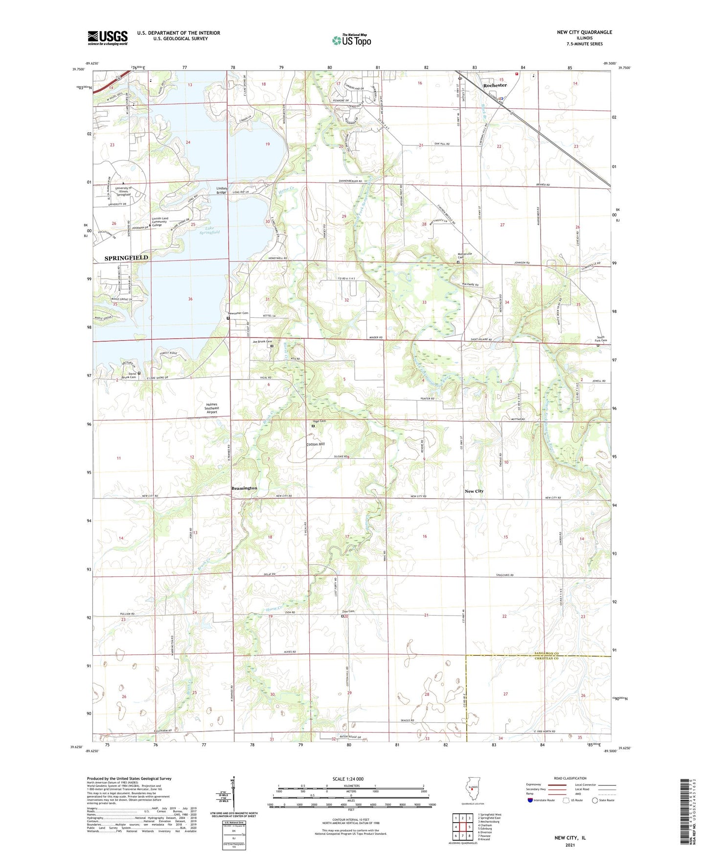
2024 topographic map quadrangle New City in the state of Illinois. Scale: 1:24000. Based on the newly updated USGS 7.5' US Topo map series, this map is in the following counties: Sangamon, Christian. The map contains contour data, water features, and other items you are used to seeing on USGS maps, but also has updated roads and other features. This is the next generation of topographic maps. Printed on high-quality waterproof paper with UV fade-resistant inks.
Quads adjacent to this one:
West: Chatham
Northwest: Springfield West
North: Springfield East
Northeast: Mechanicsburg
East: Edinburg
Southeast: Kincaid
South: Pawnee
Southwest: Divernon
This map covers the same area as the classic USGS quad with code o39089f5.
Contains the following named places: Air Evac Lifeteam Medical Transport, Beamington, Bell School, Brush Creek, Building A, Building B, Building C, Building D, Building E, Building F, Building G, Building H, Building I, Building J, Building K, Center Park, City of Springfield, Colean School, Cotton Hill, Cotton Hill Academy, Cottonhill Post Office, Crabapple School, David Brunk Cemetery, Diocesan School, Drury Jones School, Fairview School, Forest Grove School, Hazel Dell Elementary School, Holmes Southeast Airport, Horse Creek, Joe Brunk Cemetery, Lake Park, Lake Springfield, Lincoln Greens Golf Course, Lincoln Land Community College Heliport, Lincoln Memorial Gardens, Lindsey Bridge, Mottarville School, Motterville Cemetery, New City, Newcomer Cemetery, Rienzi School, Rochester, Rochester Fire Protection District, Rochester Police Department, Rochester Post Office, Schneider Heliport, South Cotton Hill School, South Fork Cemetery, South Fork Church, Township of Capital, Township of Cotton Hill, Township of Rochester, University of Illinois at Springfield, Vigal Cemetery, Zion Cemetery