MyTopo
Kincaid Illinois US Topo Map
Couldn't load pickup availability
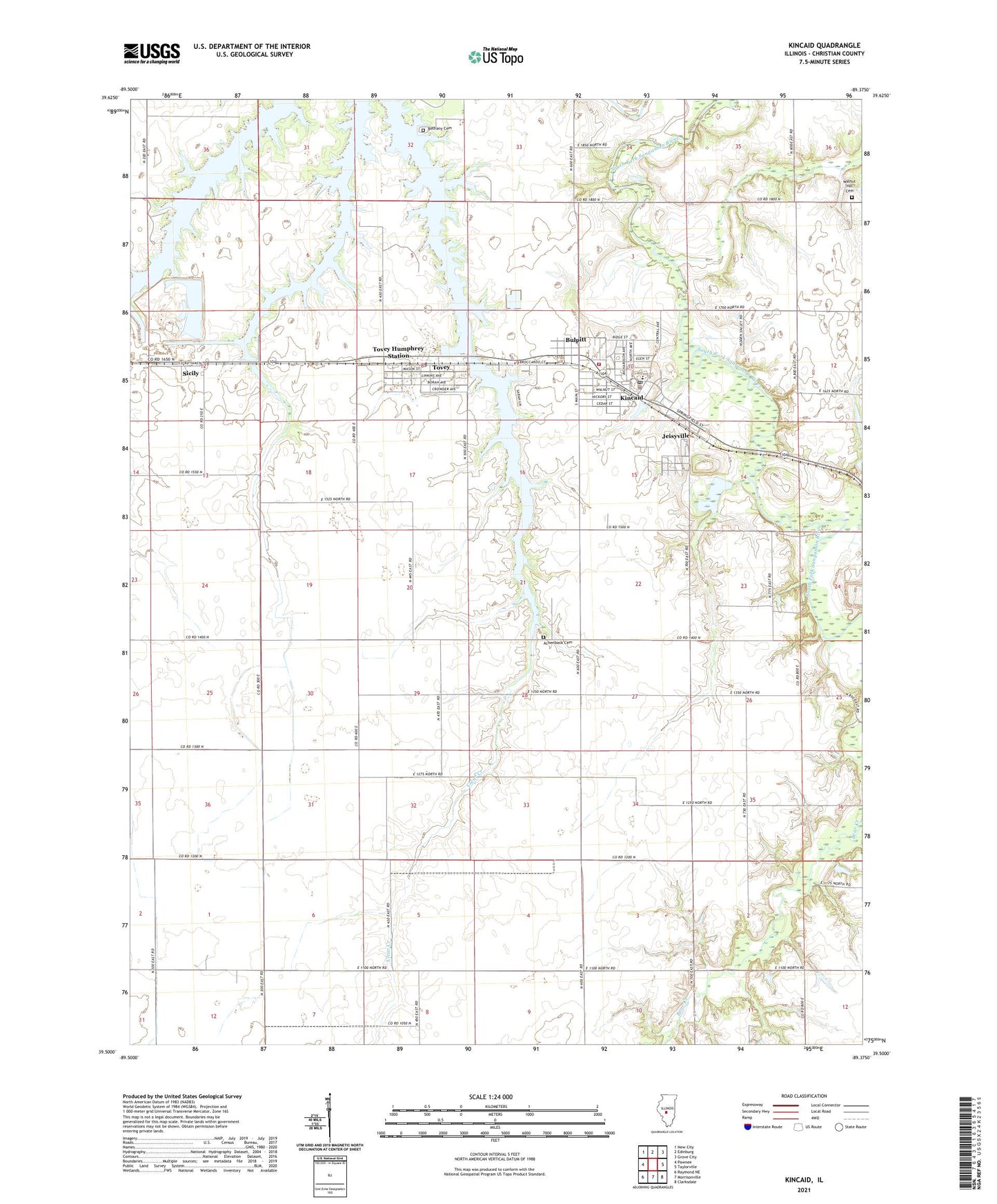
2024 topographic map quadrangle Kincaid in the state of Illinois. Scale: 1:24000. Based on the newly updated USGS 7.5' US Topo map series, this map is in the following counties: Christian. The map contains contour data, water features, and other items you are used to seeing on USGS maps, but also has updated roads and other features. This is the next generation of topographic maps. Printed on high-quality waterproof paper with UV fade-resistant inks.
Quads adjacent to this one:
West: Pawnee
Northwest: New City
North: Edinburg
Northeast: Grove City
East: Taylorville
Southeast: Clarksdale
South: Morrisonville
Southwest: Raymond NE
This map covers the same area as the classic USGS quad with code o39089e4.
Contains the following named places: Achenback Cemetery, Bethany Cemetery, Bethany Church, Bloome Farms, Bulpitt, Cottonwood School, Deal Landing Strip, Hedge College School, Jeisyville, Kincaid, Kincaid Baptist Church, Kincaid City Lake Dam, Kincaid Consolidated Oil Field, Kincaid Elementary School, Kincaid Police Department, Kincaid Post Office, Leigh School, Maple Grove School, Midland Fire Protection District, Pleasant Hill Church, Pleasant View School, Rosedale School, Sangchris Lake, Sicily, South Fork High School, Tovey, Tovey Humphrey Station, Tovey Post Office, Township of South Fork, Village of Bulpitt, Village of Jeisyville, Village of Kincaid, Village of Tovey, Walnut Hill Cemetery, Walnut Hill School, ZIP Codes: 62517, 62540, 62570