MyTopo
New Holland Illinois US Topo Map
Couldn't load pickup availability
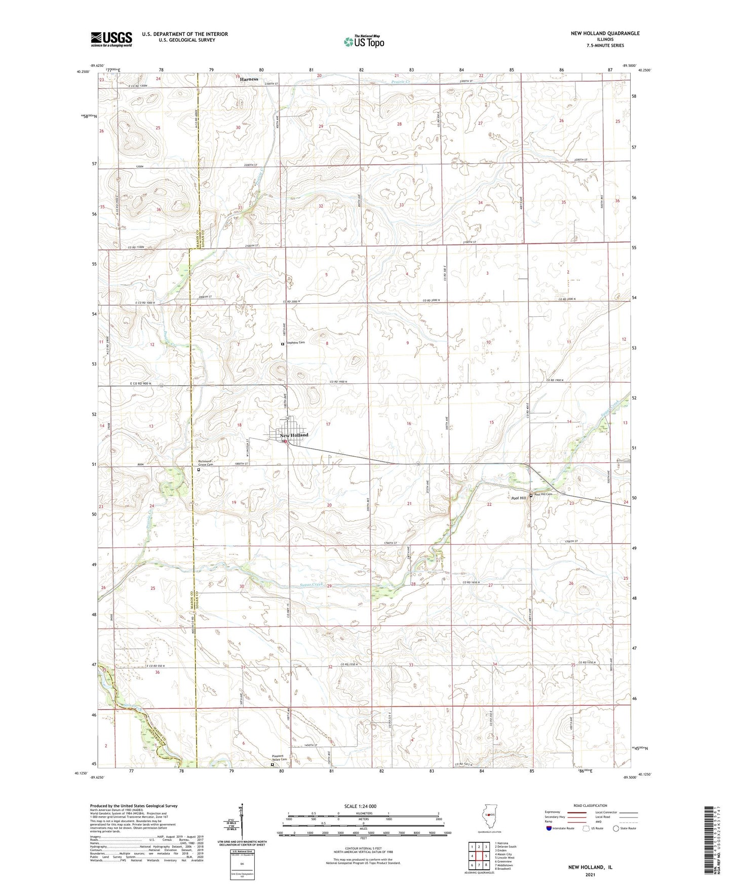
2024 topographic map quadrangle New Holland in the state of Illinois. Scale: 1:24000. Based on the newly updated USGS 7.5' US Topo map series, this map is in the following counties: Logan, Mason, Menard. The map contains contour data, water features, and other items you are used to seeing on USGS maps, but also has updated roads and other features. This is the next generation of topographic maps. Printed on high-quality waterproof paper with UV fade-resistant inks.
Quads adjacent to this one:
West: Mason City
Northwest: Natrona
North: Delavan South
Northeast: Emden
East: Lincoln West
Southeast: Broadwell
South: Middletown
Southwest: Greenview
This map covers the same area as the classic USGS quad with code o40089b5.
Contains the following named places: Fairview School, Harness, New Holland, New Holland Fire Protection District, New Holland High School, New Holland Legion Park, New Holland Post Office, New Holland United Methodist Church, Pleasant Valley Cemetery, Pool Hill, Pool Hill Cemetery, Prairie Creek, Richmond Grove Cemetery, Stephens Cemetery, Township of Sheridan, Village of New Holland, Zion Lutheran Church, ZIP Code: 62671