MyTopo
Olney Illinois US Topo Map
Couldn't load pickup availability
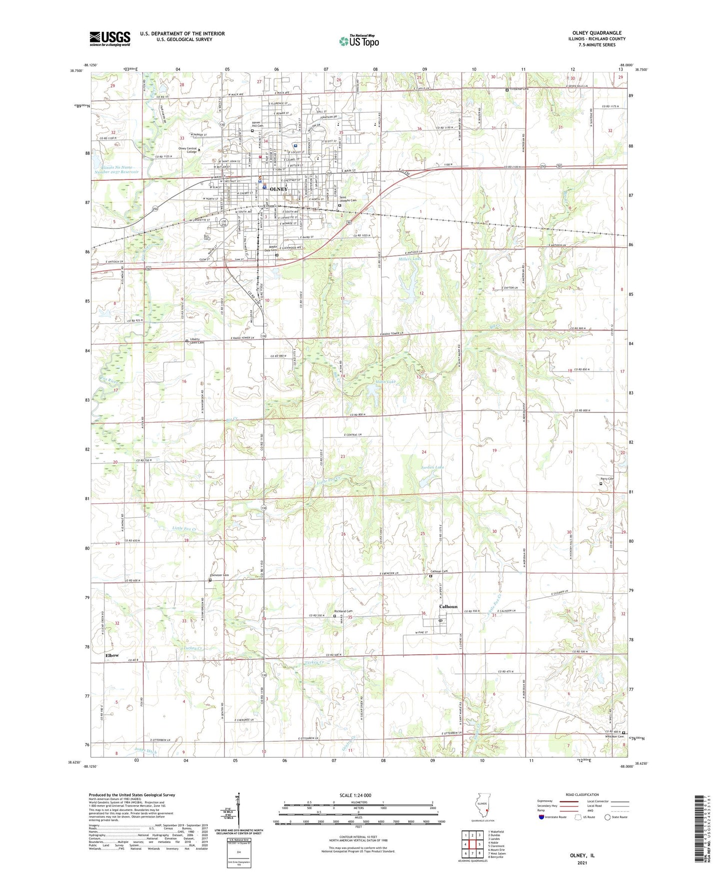
2024 topographic map quadrangle Olney in the state of Illinois. Scale: 1:24000. Based on the newly updated USGS 7.5' US Topo map series, this map is in the following counties: Richland. The map contains contour data, water features, and other items you are used to seeing on USGS maps, but also has updated roads and other features. This is the next generation of topographic maps. Printed on high-quality waterproof paper with UV fade-resistant inks.
Quads adjacent to this one:
West: Noble
Northwest: Wakefield
North: Dundas
Northeast: Landes
East: Claremont
Southeast: Berryville
South: West Salem
Southwest: Mount Erie
This map covers the same area as the classic USGS quad with code o38088f1.
Contains the following named places: Big Creek, Big Creek Woods Memorial Nature Preserve, Bird School, Bower Park, Brinkley School, Calhoun, Calhoun Cemetery, Calhoun Post Office, Calvary Baptist Church, Carle Richland Memorial Hospital, Carnegie Public Library, Central Elementary School, Cherry Elementary School, Church of Christ, Church of the Nazarene, City of Olney, City Park, Congregational Christian Church, East Richland High School, East Richland Middle School, Ebenezer Cemetery, Ebenezer Church, Elbow, Elliott Street Historic District, Elm Street Christian Church, First Assembly of God Church, First Baptist Church, First Christian Church, First Presbyterian Church, First United Brethren Church, First United Church of Christ, First United Methodist Church, Free Methodist Church, Fritschle Cemetery, Gassmann Park, German Reformed Church, Hahn Lake, Hahn Lake Dam, Haven Hill Cemetery, Illinois No Name Number 2037 Dam, Illinois No Name Number 2037 Reservoir, Immanuel Evangelical Church, Immanuel United Methodist Church, Jackson Hospital, Jordan Lake, Jordan Lake Dam, Kimmel School, Liberty Lawn Cemetery, Liberty Lawn School, Little Fox Creek, Maple Dale Cemetery, Millers Lake, Millers Lake Dam, North Silver Street Public School, Oak Ridge School, Olney, Olney Central College, Olney Fire Department, Olney Police Department, Olney Post Office, Olney Public Library, Oregon School, Parry Cemetery, Pleasant Grove School, Pleasant Valley School, Richland Cemetery, Richland Church, Richland County, Richland County Courthouse, Richland County Jail, Richland County Sheriff's Office, Richland Memorial Hospital Heliport, Ritter School, Saint Albans Episcopal Church, Saint Joseph School, Saint Josephs Cemetery, Saint Josephs Roman Catholic Church, Saint Paul United Methodist Church, Sodom School, Summers Clinic, Township of Olney, Trinity Lutheran Church, Troy School, Village of Calhoun, Watertown, Weber Medical Clinic, Whitaker Cemetery, Whitaker School, WSEI-FM (Olney), WVLN-AM (Olney), ZIP Code: 62450


