MyTopo
Russellville Illinois US Topo Map
Couldn't load pickup availability
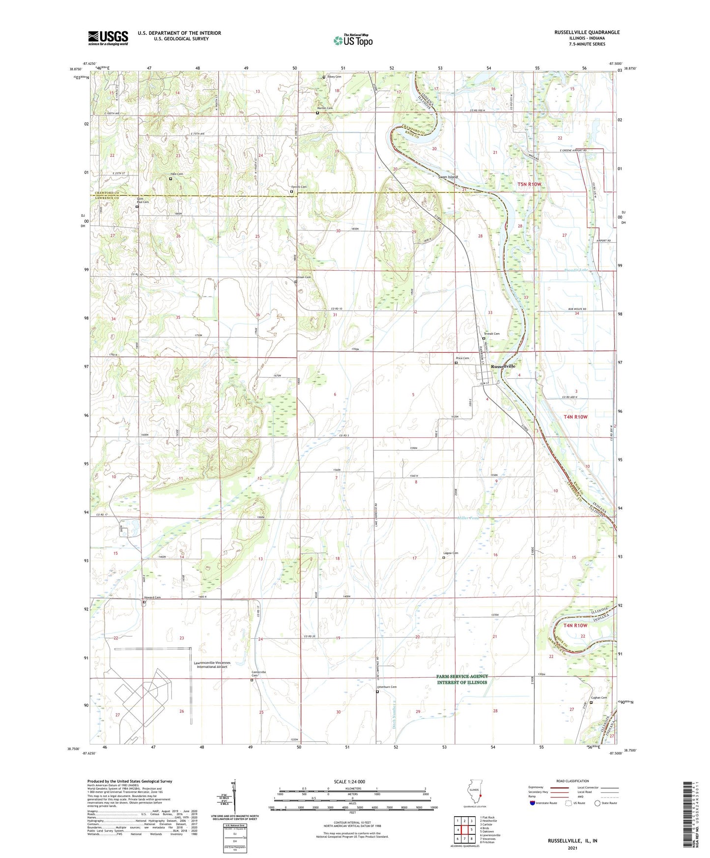
2024 topographic map quadrangle Russellville in the states of Illinois, Indiana. Scale: 1:24000. Based on the newly updated USGS 7.5' US Topo map series, this map is in the following counties: Lawrence, Knox, Crawford. The map contains contour data, water features, and other items you are used to seeing on USGS maps, but also has updated roads and other features. This is the next generation of topographic maps. Printed on high-quality waterproof paper with UV fade-resistant inks.
Quads adjacent to this one:
West: Birds
Northwest: Flat Rock
North: Heathsville
Northeast: Carlisle
East: Oaktown
Southeast: Fritchton
South: Vincennes
Southwest: Lawrenceville
Contains the following named places: Allison Cemetery, Allison Post Office, Brick School Number 3, Broadie Lake, Canaan Primitive Baptist Church, Canaan School, Centerville Cemetery, Centerville School, Church of the Brethren, Cughan Cemetery, Davy, Ditch Number 2, East Pinkstaff Church, East Pinkstaff School, Ed-Air Airport, Ferrell Cemetery, Hale Cemetery, Hazel Dell School, Higgins Cemetery, Higgins School, Howard Cemetery, Lagow Cemetery, Lawrenceville-Vincennes International Airport, M and J Farms, Miller Pond, Miller School, Mohn School, Niblack Levee, North Center School, Norton Cemetery, Old Busseron Creek, Otterburn Cemetery, Price Cemetery, Rising Sun Church, Rising Sun School, Russellville, Saint Paul Cemetery, Swan Island, Taylor Ditch, Tevealt Cemetery, Tobey Cemetery, Township of Russell, Union School, Village of Russellville, Vincennes Executive Inn Airport