MyTopo
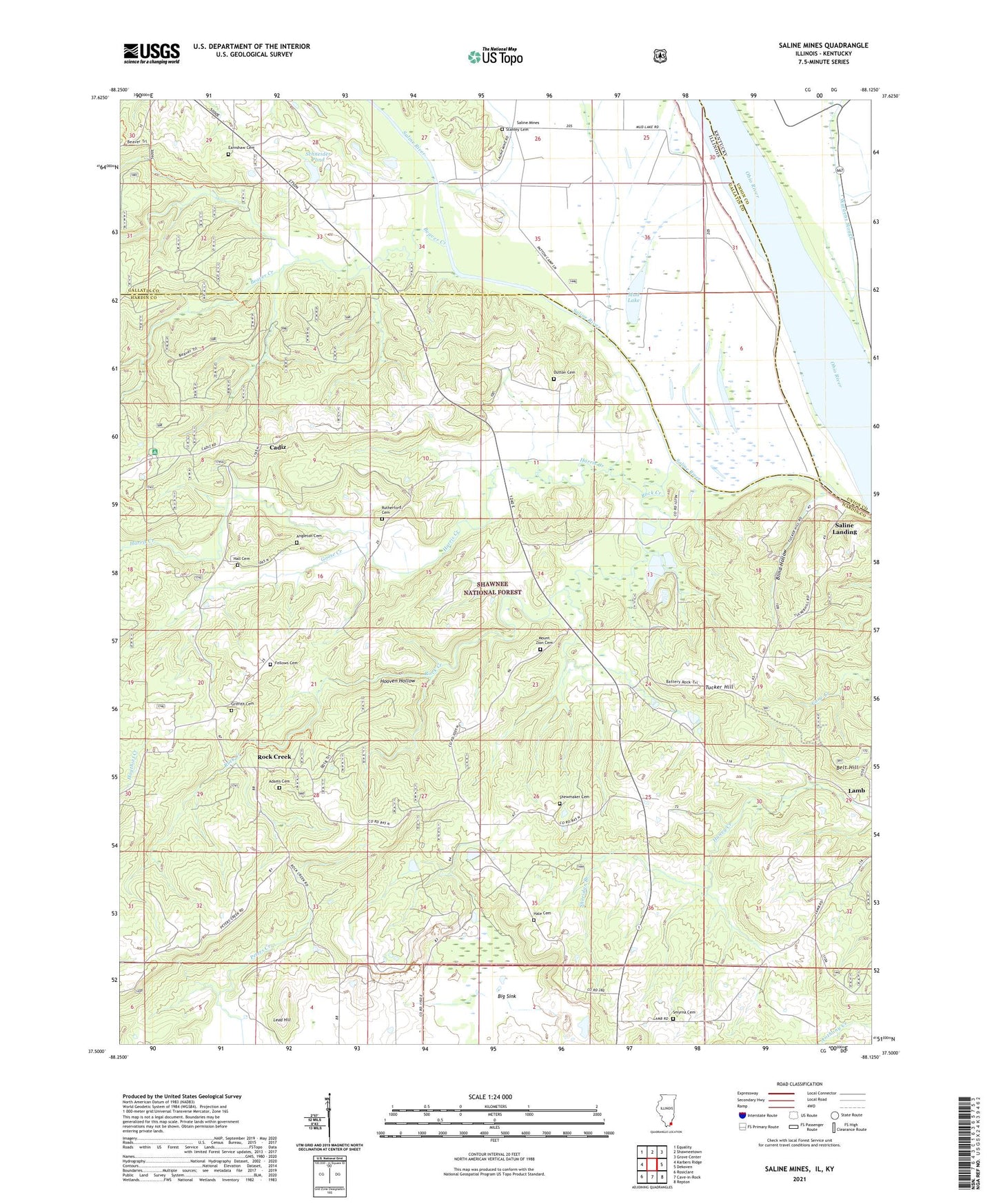
Saline Mines Illinois US Topo Map
Couldn't load pickup availability
Also explore the Saline Mines Forest Service Topo of this same quad for updated USFS data
2024 topographic map quadrangle Saline Mines in the states of Illinois, Kentucky. Scale: 1:24000. Based on the newly updated USGS 7.5' US Topo map series, this map is in the following counties: Hardin, Gallatin, Union. The map contains contour data, water features, and other items you are used to seeing on USGS maps, but also has updated roads and other features. This is the next generation of topographic maps. Printed on high-quality waterproof paper with UV fade-resistant inks.
Quads adjacent to this one:
West: Karbers Ridge
Northwest: Equality
North: Shawneetown
Northeast: Grove Center
East: Dekoven
Southeast: Repton
South: Cave-in-Rock
Southwest: Rosiclare
Contains the following named places: Adams Cemetery, Angleton Cemetery, Antioch Church, Beaver Creek, Beaver Trail, Belt Hill, Big Sink, Blind Hollow, Cadiz, Camp Cadiz, Carrs Store, Crystal Mine, Deardorff Mine, Defender Mine, Douglas School, Dutton Cemetery, Earnshaw Cemetery, East Green Mine, Enterprise School, Fellows Cemetery, Goose Creek, Goose Creek Mine, Green Mine, Griffith Cemetery, Hale Cemetery, Hall Cemetery, Harris Creek, Hill Mine, Hoeb Mine, Hooven Hollow, Lamb School, Lambert School, Lead Hill, Mahoning Mine, Mahoning Mines, Minerva Mine Number 1, Mount Zion Cemetery, Mount Zion Church, Mud Lake, North Green Mine, Oak Grove School, Oxford Mine, Peters Creek Lookout Tower, Potter Church, River to River Trail, Rock Creek, Rock Creek School, Rock Election Precinct, Rutherford Cemetery, Saint Johns School, Saline Landing, Saline Mines, Saline Mines Church, Saline Mines School, Saline River, Saline Rocks Ferry, Saline Tip Ferry, Schneider Pond, Schneider Pond Dam, Sheridan Branch, Shewmaker Cemetery, Shewmaker School, Smyrna Cemetery, Stanley Cemetery, Talbott Landing, Tucker Hill, Victory Mine, West Green Mine, Yellow Springs Church, ZIP Code: 62919


