MyTopo
Repton Kentucky US Topo Map
Couldn't load pickup availability
Also explore the Repton Forest Service Topo of this same quad for updated USFS data
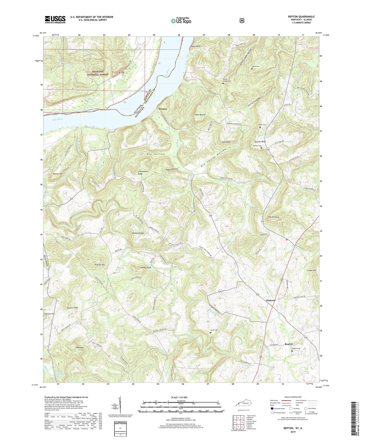
2022 topographic map quadrangle Repton in the states of Kentucky, Illinois. Scale: 1:24000. Based on the newly updated USGS 7.5' US Topo map series, this map is in the following counties: Crittenden, Hardin. The map contains contour data, water features, and other items you are used to seeing on USGS maps, but also has updated roads and other features. This is the next generation of topographic maps. Printed on high-quality waterproof paper with UV fade-resistant inks.
Quads adjacent to this one:
West: Cave-in-Rock
Northwest: Saline Mines
North: Dekoven
Northeast: Sturgis
East: Blackford
Southeast: Shady Grove
South: Marion
Southwest: Salem
This map covers the same area as the classic USGS quad with code o37088d1.
Contains the following named places: Anthony Creek, Baker, Baker Church, Big Hollow, Big Spring Hollow, Browns School, Brushy Fork, Butler Creek, Cain Bluff, Camp Creek, Cedar Point, Chickasaw Road Historical Marker, Cool Spring Hollow, Cornstalk Creek, Cottonpatch Ridge, Crooked Creek, Dam Number 50, Daniels Ridge, Duncan Bluff, Duncan Cemetery, Duval Cemetery, Fords Ferry, Forest Grove, Forest Grove School, Fraileys Store, Graves Knob, Green Chapel Cemetery, Haney Creek, Hoods, Hughes Branch, Lamb Cemetery, Mattoon, Mattoon Creek, Mattoon Volunteer Fire Department, McDowell School, Moore Spring, Mount Zion Church, Nation Hill, No Bottom Spring, Obie Mound, Pickren Hill, Pigpen Hollow, Repton, Repton Cemetery, Rocky Branch, Stone, The Pinnacle, The Sinks, Turkey Knob, Walker Cemetery, Weston, Weston Historical Marker, Wilson Quarry


