MyTopo
Toledo Illinois US Topo Map
Couldn't load pickup availability
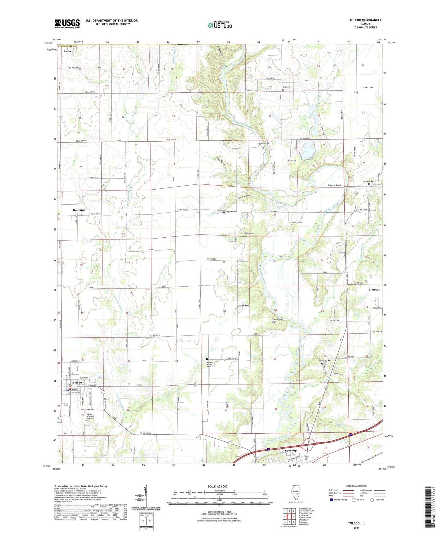
2024 topographic map quadrangle Toledo in the state of Illinois. Scale: 1:24000. Based on the newly updated USGS 7.5' US Topo map series, this map is in the following counties: Cumberland, Coles. The map contains contour data, water features, and other items you are used to seeing on USGS maps, but also has updated roads and other features. This is the next generation of topographic maps. Printed on high-quality waterproof paper with UV fade-resistant inks.
Quads adjacent to this one:
West: Johnstown
Northwest: Mattoon East
North: Charleston South
Northeast: Westfield West
East: Union Center
Southeast: Hazel Dell
South: Greenup
Southwest: Woodbury
This map covers the same area as the classic USGS quad with code o39088c2.
Contains the following named places: Austin Hollow, Bell Branch, Bell Cemetery, Bowman Ford, Bradbury, Bradbury Free Methodist Church, Buck Knoll, Calvary Tabernacle, Christian Run School, Clear Creek, Clear Creek School, Cumberland County, Cumberland County Courthouse, Cumberland County Farm, Cumberland County Sheriff's Office, Cumberland Elementary School, Cumberland High School, East Whiteoak School, First Baptist Church, Friends Grove Cemetery, Fulkerson Post Office, Gold Hollow, Graveyard Hill, Haddock School, Harmony Cemetery, Harmony Friends Church, Hickory Corner School, Hurricane Creek, Hutton Cemetery, Jack Oak Cemetery, Jack Oak Church of God, Jack Oak School, Janesville, Janesville Post Office, Jones School, Lick Hollow, Lost Creek, Lost Creek School, McCann Ford, Mumford School, Neal Cemetery, Oak Chapel School, Peach Orchard Cemetery, Pleasant Grove School, Rocky Ford, Ryan Bridge, Sconce Bend, Silver Leaf School, Stitt School, Sumpter Township Library, Timothy, Tippett Cemetery, Tippett Hollow, Titus School, Toledo, Toledo Area Emergency Ambulance Service, Toledo Memorial Park Cemetery, Toledo Post Office, Toledo Volunteer Fire Department, Township of Cottonwood, Village of Toledo, Webster School, ZIP Code: 62428


