MyTopo
Hamilton Indiana US Topo Map
Couldn't load pickup availability
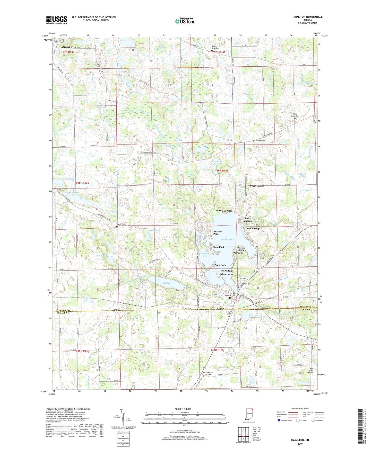
2022 topographic map quadrangle Hamilton in the state of Indiana. Scale: 1:24000. Based on the newly updated USGS 7.5' US Topo map series, this map is in the following counties: Steuben, DeKalb. The map contains contour data, water features, and other items you are used to seeing on USGS maps, but also has updated roads and other features. This is the next generation of topographic maps. Printed on high-quality waterproof paper with UV fade-resistant inks.
Quads adjacent to this one:
West: Ashley
Northwest: Angola West
North: Angola East
Northeast: Clear Lake
East: Edon
Southeast: Butler East
South: Butler West
Southwest: Waterloo
This map covers the same area as the classic USGS quad with code o41084e8.
Contains the following named places: Baker Ditch, Ball Lake, Black Creek, Burch Ditch, Carter Cemetery, Church of Christ, Circle Park, Clarks Landing, Cold Springs, Davis Ditch, Donald Kunkle Ditch, Fee Lake, Flying Crown Airport, Forest Park, Fountain Park, Girt Gnacy Memorial Recreational Park, Gooseneck Lake, Hamilton, Hamilton Cemetery, Hamilton Elementary School, Hamilton High School, Hamilton Lake, Hamilton Police Department, Hamilton Post Office, Hamilton United Methodist Church, Hamilton Volunteer Fire Department, Haughey Ditch, Island Park, Jackson Lake, Johnson Ditch, Johnson Lake, Lautzenhiser Airpark, Lillian Metz Ditch, Meserve Lake, Mud Creek, Mud Lake, Muskrat Bay, Myers Ditch, North Otsgeo Cemetery, Oakwood, Otsego Center, Otsego Center Cemetery, Penn Park, Perfect Lake, Ravinia Oaks, Round Lake, Russels Point, Shag Island, South Scott Cemetery, South Scott Church, Teegardin Cemetery, Terry Lake, The Wesleyan Church, Town of Hamilton, Township of Otsego, ZIP Code: 46742


