MyTopo
Georgetown Indiana US Topo Map
Couldn't load pickup availability
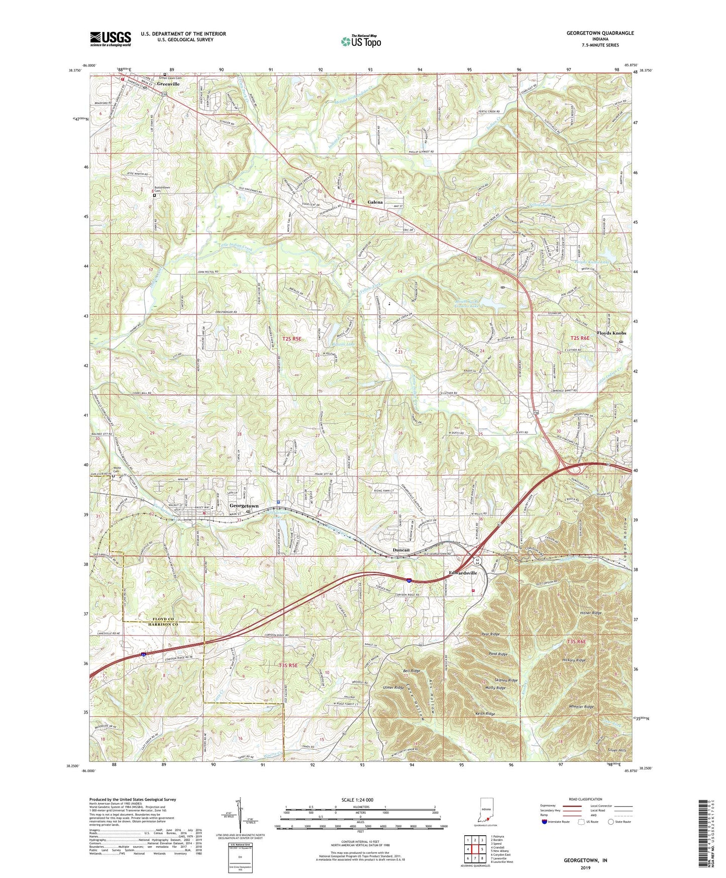
2022 topographic map quadrangle Georgetown in the state of Indiana. Scale: 1:24000. Based on the newly updated USGS 7.5' US Topo map series, this map is in the following counties: Floyd, Harrison. The map contains contour data, water features, and other items you are used to seeing on USGS maps, but also has updated roads and other features. This is the next generation of topographic maps. Printed on high-quality waterproof paper with UV fade-resistant inks.
Quads adjacent to this one:
West: Crandall
Northwest: Palmyra
North: Borden
Northeast: Speed
East: New Albany
Southeast: Louisville West
South: Lanesville
Southwest: Corydon East
This map covers the same area as the classic USGS quad with code o38085c8.
Contains the following named places: Als Hollow, Bell Ridge, Brazils Lake, Brazils Lake Dam, Buttontown Cemetery, Cave Hollow, Cedar Brook Camp, Duncan, Edwardsville, Floyd County, Floyds Knobs Lake, Floyds Knobs Lake Dam, Floyds Knobs Post Office, Galena, Galena Census Designated Place, Galena Elementary School, Georgetown, Georgetown Drive-In, Georgetown Lake, Georgetown Police Department, Georgetown Post Office, Georgetown Reservoir Dam, Georgetown Township Fire Protection District Station 1, Georgetown Township Fire Protection District Station 2, Green Lawn Cemetery, Greenville, Greenville Post Office, Greenville Township Fire Department, Hickory Ridge, Highland Church, Hitner Ridge, Jersey Park Creek, Jerusalem School, Keith Ridge, Little Indian Creek, Logan Hollow, Middle Fork Indian Creek, Mount Saint Frances Lake, Mount Saint Frances Lake Dam, Mount Saint Francis Post Office, Mount Saint Francis Seminary, Musty Ridge, Pear Ridge, Pleasant Valley Camp, Pond Ridge, Silver Hills, Skipsey Ridge, Town of Georgetown, Town of Greenville, Township of Georgetown, Township of Greenville, Township of Lafayette, Tunnel Hill Church, Ulmer Ridge, Wheeler Ridge, Wolfe Cemetery, Yellow Fork, ZIP Codes: 47119, 47122


