MyTopo
Guilford Indiana US Topo Map
Couldn't load pickup availability
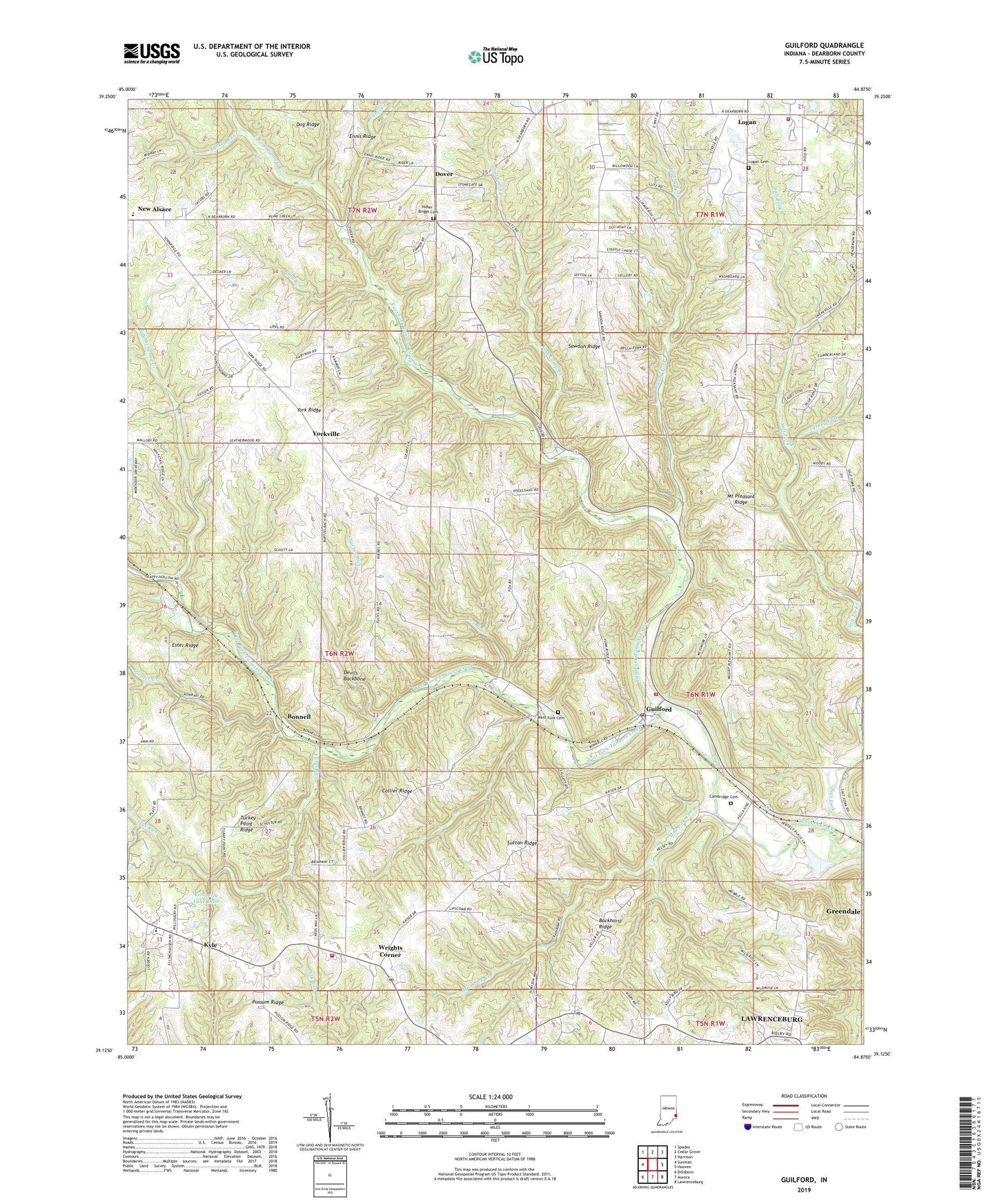
2022 topographic map quadrangle Guilford in the state of Indiana. Scale: 1:24000. Based on the newly updated USGS 7.5' US Topo map series, this map is in the following counties: Dearborn. The map contains contour data, water features, and other items you are used to seeing on USGS maps, but also has updated roads and other features. This is the next generation of topographic maps. Printed on high-quality waterproof paper with UV fade-resistant inks.
Quads adjacent to this one:
West: Sunman
Northwest: Spades
North: Cedar Grove
Northeast: Harrison
East: Hooven
Southeast: Lawrenceburg
South: Aurora
Southwest: Dillsboro
This map covers the same area as the classic USGS quad with code o39084b8.
Contains the following named places: Bockhorst Ridge, Bonnell, Bright Volunteer Fire Company Station 3, Bright Volunteer Fire Station 3, Brushy Fork, Cambridge Cemetery, Collier Ridge, Dearborn County, Devils Backbone, Dover, East Fork Stone Church, East Fork Tanners Creek, Ennis Creek, Ester Ridge, Flys Run, Fox Run, Guilford, Guilford Post Office, Helms-Jacobs Airport, Huber - Briggs Cemetery, Kimberly Lake Dam, Kline Creek, Kyle, Leatherwood Creek, Logan, Logan Cemetery, Manchester Township Volunteer Fire and Rescue Station 2, Miller - York Volunteer Fire Department, Mount Pleasant Church, Mount Pleasant Ridge, Mud Lick Creek, North Dearborn High School, Norton Run, Possum Ridge, Saint Johns Church, Sawdon Ridge, Slab Camp Creek, Soapstone Creek, Sutton Ridge, Township of York, Turkey Fork, Turkey Point Ridge, Turkey Run, West Fork Cemetery, West Fork Tanners Creek, Wrights Corner, York Ridge, Yorkville, Ziegler Creek, ZIP Code: 47022


