MyTopo
Ladoga Indiana US Topo Map
Couldn't load pickup availability
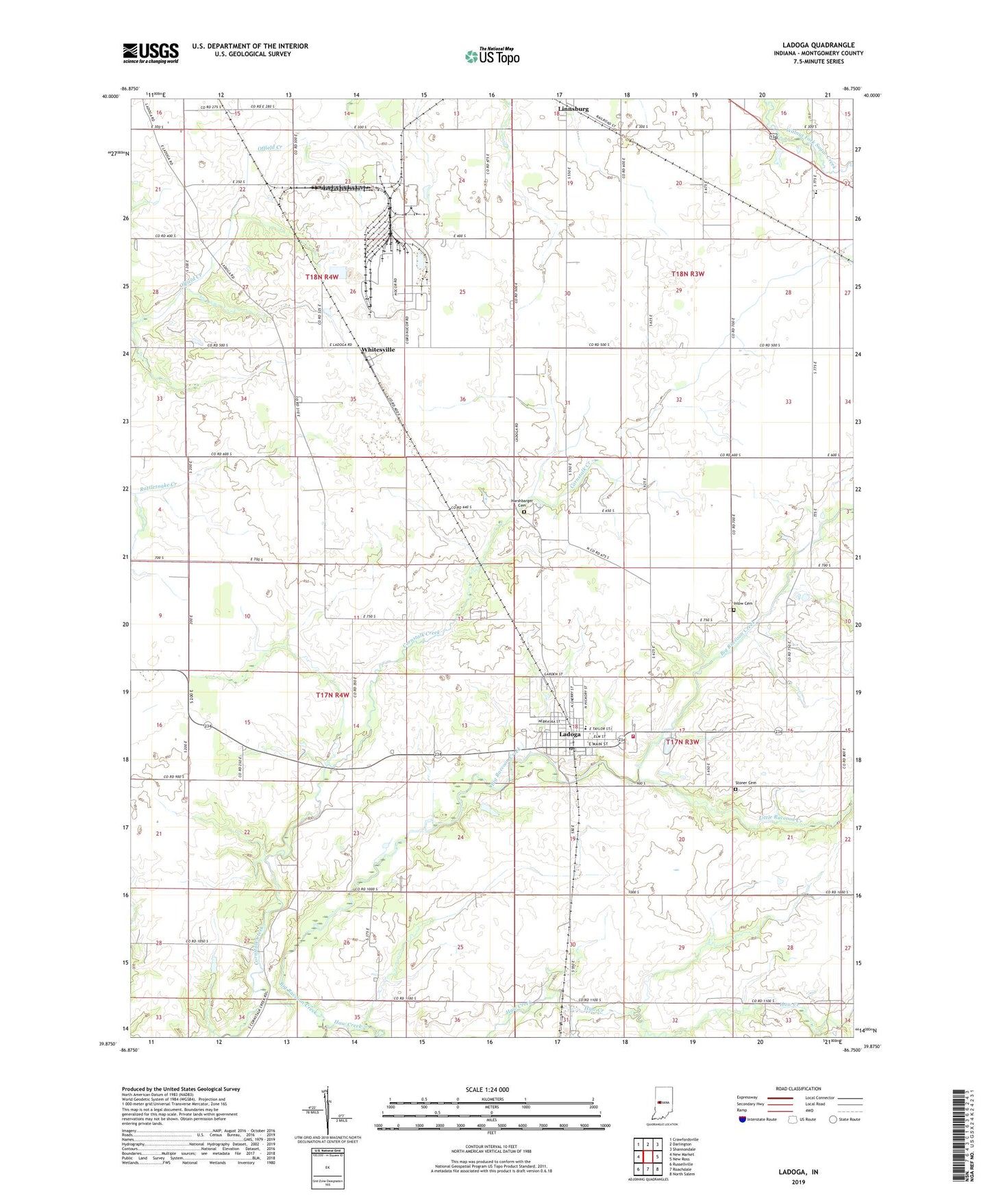
2022 topographic map quadrangle Ladoga in the state of Indiana. Scale: 1:24000. Based on the newly updated USGS 7.5' US Topo map series, this map is in the following counties: Montgomery. The map contains contour data, water features, and other items you are used to seeing on USGS maps, but also has updated roads and other features. This is the next generation of topographic maps. Printed on high-quality waterproof paper with UV fade-resistant inks.
Quads adjacent to this one:
West: New Market
Northwest: Crawfordsville
North: Darlington
Northeast: Shannondale
East: New Ross
Southeast: North Salem
South: Roachdale
Southwest: Russellville
This map covers the same area as the classic USGS quad with code o39086h7.
Contains the following named places: Harshbarger Cemetery, Haw Creek, Inlow Cemetery, Ladoga, Ladoga Post Office, Ladoga Volunteer Fire Department, Lagoda Elementary School, Little Raccoon Creek, Stoner Cemetery, Town of Ladoga, Township of Clark, Township of Scott, Township of Walnut, Whitesville, ZIP Code: 47954