MyTopo
Crawfordsville Indiana US Topo Map
Couldn't load pickup availability
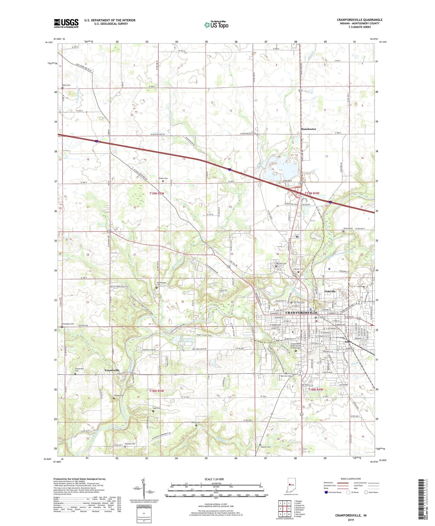
2022 topographic map quadrangle Crawfordsville in the state of Indiana. Scale: 1:24000. Based on the newly updated USGS 7.5' US Topo map series, this map is in the following counties: Montgomery. The map contains contour data, water features, and other items you are used to seeing on USGS maps, but also has updated roads and other features. This is the next generation of topographic maps. Printed on high-quality waterproof paper with UV fade-resistant inks.
Quads adjacent to this one:
West: Waynetown
Northwest: Wingate
North: Linden
Northeast: Kirkpatrick
East: Darlington
Southeast: Ladoga
South: New Market
Southwest: Alamo
This map covers the same area as the classic USGS quad with code o40086a8.
Contains the following named places: Ames, Anna Wilson Elementary School, Ben Hur Cemetery, Black Creek, Breaks Cemetery, Caleb Mills Elementary School, Calvary Cemetery, Camp Rotary, City of Crawfordsville, Crawfordsville Fire Department Station 1, Crawfordsville Fire Department Station 2, Crawfordsville Police Department, Crawfordsville Post Office, Crawfordsville Senior High School, Dry Branch, Fiskville, Franciscan Health Crawfordsville Hospital, Harshbarger Cemetery, Horace Mann School, Independent Order of Odd Fellows Cemetery, John Beard Elementary School, Joseph F Tuttle Junior High School, Laura Hose Elementary School, Liberty Chapel, Manchester, Meredith Nicholson Elementary School, Michael Cemetery, Mill Creek, Mill School, Milligan Park, Mollie B Hoover Elementary School, Montgomery County, Montgomery County Sheriff's Office, Mount Zion School, Nicholson School, Nutt Cemetery, Oak Hill Cemetery, Old Town Cemetery, O'Neall Cemetery, Potts Cemetery, Sidener Cemetery, Sportsmans Club Lake, Sportsmans Club Lake Dam, Sportsmen Club, Spring Ledge Country Club, STAR Ambulance Service, Stover Cemetery, Thompson Cemetery, Township of Union, Tuttle School, Wabash College, Walnut Fork Sugar Creek, WCVL-AM (Crawfordsville), Wilson Cemetery, Wilson School, WNDY-FM (Crawfordsville), Yountsville, Yountsville Cemetery, ZIP Code: 47933


