MyTopo
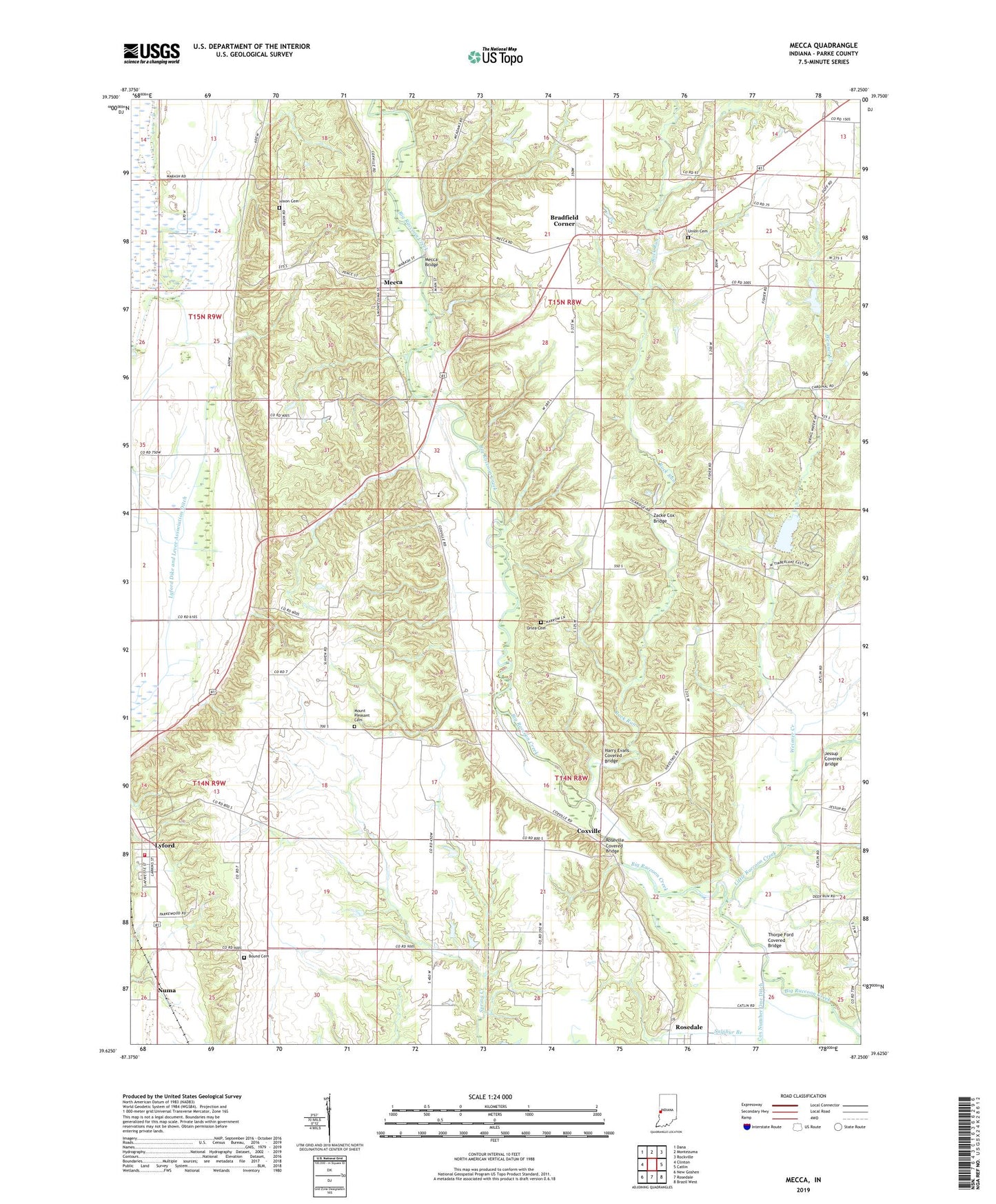
Mecca Indiana US Topo Map
Couldn't load pickup availability
2022 topographic map quadrangle Mecca in the state of Indiana. Scale: 1:24000. Based on the newly updated USGS 7.5' US Topo map series, this map is in the following counties: Parke. The map contains contour data, water features, and other items you are used to seeing on USGS maps, but also has updated roads and other features. This is the next generation of topographic maps. Printed on high-quality waterproof paper with UV fade-resistant inks.
Quads adjacent to this one:
West: Clinton
Northwest: Dana
North: Montezuma
Northeast: Rockville
East: Catlin
Southeast: Brazil West
South: Rosedale
Southwest: New Goshen
This map covers the same area as the classic USGS quad with code o39087f3.
Contains the following named places: Bound Cemetery, Bradfield Corner, Coxville, Daily Chapel, Friendly Grove Church, Harry Evans Covered Bridge, Heaton Private Airport, Hixon Cemetery, Jessup, Jessup Covered Bridge, Liberty Church, Little Raccoon Creek, Lyford, Lyford Dike and Levee Association Ditch, Lyford Volunteer Fire Department, Mecca, Mecca - Wabash Township Volunteer Fire Department, Mecca Bridge, Mecca Elementary School, Mount Pleasant Cemetery, New Bethel Church, Numa, Orlea Cemetery, Red Covered Bridge, Rock Run, Roseville Covered Bridge, Sulphur Branch, Thorpe Ford Covered Bridge, Town of Mecca, Township of Florida, Township of Wabash, Union Cemetery, WAXI-FM (Rockville), Weisner Creek, Zacke Cox Bridge, ZIP Codes: 47860, 47874


