MyTopo
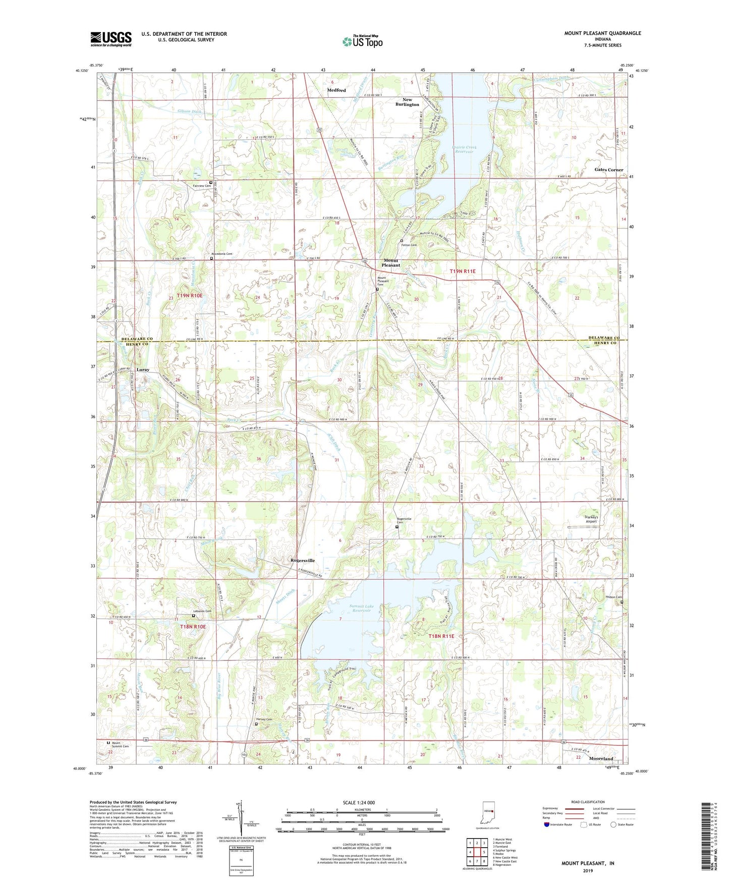
Mount Pleasant Indiana US Topo Map
Couldn't load pickup availability
2022 topographic map quadrangle Mount Pleasant in the state of Indiana. Scale: 1:24000. Based on the newly updated USGS 7.5' US Topo map series, this map is in the following counties: Henry, Delaware. The map contains contour data, water features, and other items you are used to seeing on USGS maps, but also has updated roads and other features. This is the next generation of topographic maps. Printed on high-quality waterproof paper with UV fade-resistant inks.
Quads adjacent to this one:
West: Sulphur Springs
Northwest: Muncie West
North: Muncie East
Northeast: Farmland
East: Modoc
Southeast: Hagerstown
South: New Castle East
Southwest: New Castle West
This map covers the same area as the classic USGS quad with code o40085a3.
Contains the following named places: Brave Run, Brown Run, Buck Creek Church, Burlington Run, Cemetery Run, Center School, Chief Run, Clift Ditch, Cunningham Ditch, Fairview Cemetery, Felton Cemetery, Felton Creek, Gates Corner, Gibson Ditch, Harris Chapel, Harvey Cemetery, Harvey Run, Hodson Cemetery, Huffman Creek, Kirklin Farms, Lebanon Cemetery, Little Buck Creek, Luray, Luray Pit, Macedonia Cemetery, Macedonia Creek, Medford, Moon Brook, Mount Pleasant, Mount Pleasant Cemetery, Mount Summit Cemetery, New Burlington, Philadelphia Church, Prairie Creek Reservoir, Red Brook, Rogersville, Rogersville Cemetery, Sheetz Ditch, Starkey's Airport, Stone Branch, Summit Lake Reservoir, Sweringen Ditch, Township of Perry, Township of Prairie, Township of Stoney Creek, WERK-AM (Muncie), ZIP Code: 47360


