MyTopo
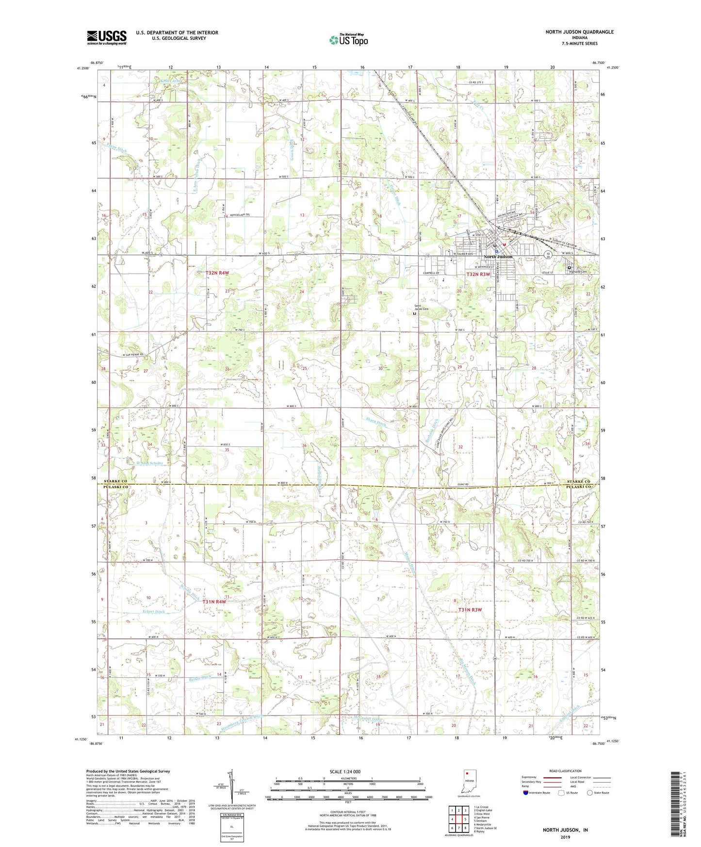
North Judson Indiana US Topo Map
Couldn't load pickup availability
2022 topographic map quadrangle North Judson in the state of Indiana. Scale: 1:24000. Based on the newly updated USGS 7.5' US Topo map series, this map is in the following counties: Starke, Pulaski. The map contains contour data, water features, and other items you are used to seeing on USGS maps, but also has updated roads and other features. This is the next generation of topographic maps. Printed on high-quality waterproof paper with UV fade-resistant inks.
Quads adjacent to this one:
West: San Pierre
Northwest: La Crosse
North: English Lake
Northeast: Knox West
East: Denham
Southeast: Ripley
South: North Judson SE
Southwest: Medaryville
This map covers the same area as the classic USGS quad with code o41086b7.
Contains the following named places: Barker Ditch, Blue Sea Community Building, Burbank Ditch, Crawford Field, Driger Ditch, East Arm Payne Ditch, Eckert Ditch, Emmett Ditch, Green Ditch, Highland Cemetery, Keller Arm, Liberty Elementary School, Long Airport, Lukac Farms, McCauliff Ditch, Monon Ditch, North Judson, North Judson Police Department, North Judson Post Office, North Judson Volunteer Fire Department, Origer Ditch, Rozhon Farm, Saint Jacob Cemetery, Saint Peter Lutheran School, Scholtz Ditch, Selmer Ditch, Sharp Ditch, Steffel Ditch, Stromberg-Tetzloff Ditch, Town of North Judson, Township of Cass, Township of Railroad, Township of Rich Grove, Township of Wayne, ZIP Code: 46366


