MyTopo
Woodburn North Indiana US Topo Map
Couldn't load pickup availability
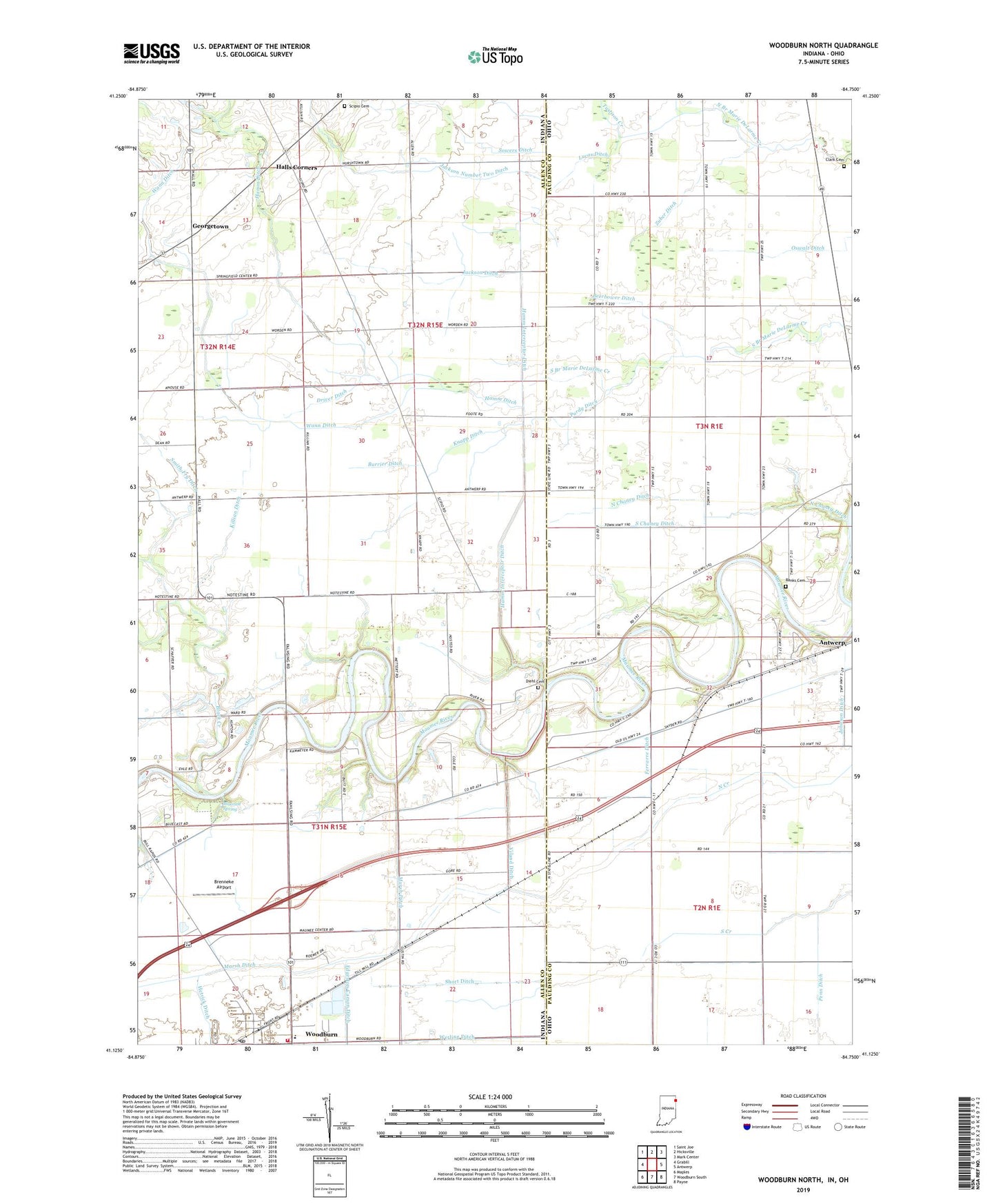
2022 topographic map quadrangle Woodburn North in the states of Indiana, Ohio. Scale: 1:24000. Based on the newly updated USGS 7.5' US Topo map series, this map is in the following counties: Allen, Paulding. The map contains contour data, water features, and other items you are used to seeing on USGS maps, but also has updated roads and other features. This is the next generation of topographic maps. Printed on high-quality waterproof paper with UV fade-resistant inks.
Quads adjacent to this one:
West: Grabill
Northwest: Saint Joe
North: Hicksville
Northeast: Mark Center
East: Antwerp
Southeast: Payne
South: Woodburn South
Southwest: Maples
Contains the following named places: Banks Cemetery, Beerbower Ditch, Bethel Church, Black Creek, Bluecast, Bluecast Spring, Brenneke Airport, Burrier Ditch, Champion School, Chaney Ditch, City of Woodburn, Clark Cemetery, Diehl Cemetery, Driver Ditch, Enz Ditch, Ferrarre Ditch, Georgetown, Halls Corners, Hamm Ditch, Hamm Interceptor Ditch, Hetrick Ditch, Hook School, Imbach Ditch, Jackson Ditch, Jackson Number Two Ditch, Johnson Ditch, Killian Ditch, Knapp Ditch, Lichtys Parcels, Link, Link Post Office, Lucas Ditch, New Harrison, Nindeville, North Chaney Ditch, Penn Ditch, Purdy Ditch, School Number 1, School Number 2, School Number 5, Scipio Cemetery, Scipio Church, Short Ditch, Sieberi Ditch, South Chaney Ditch, Sowers Ditch, Township of Maumee, Township of Scipio, Tustison Creek, Viland Ditch, Wann Ditch, Werling Ditch, Woodburn, Woodburn Fire Department Maumee Township Fire Station, Woodburn Post Office, Zijlstra Dairy, Zuber Ditch, ZIP Codes: 46743, 46797