MyTopo
Hicksville Ohio US Topo Map
Couldn't load pickup availability
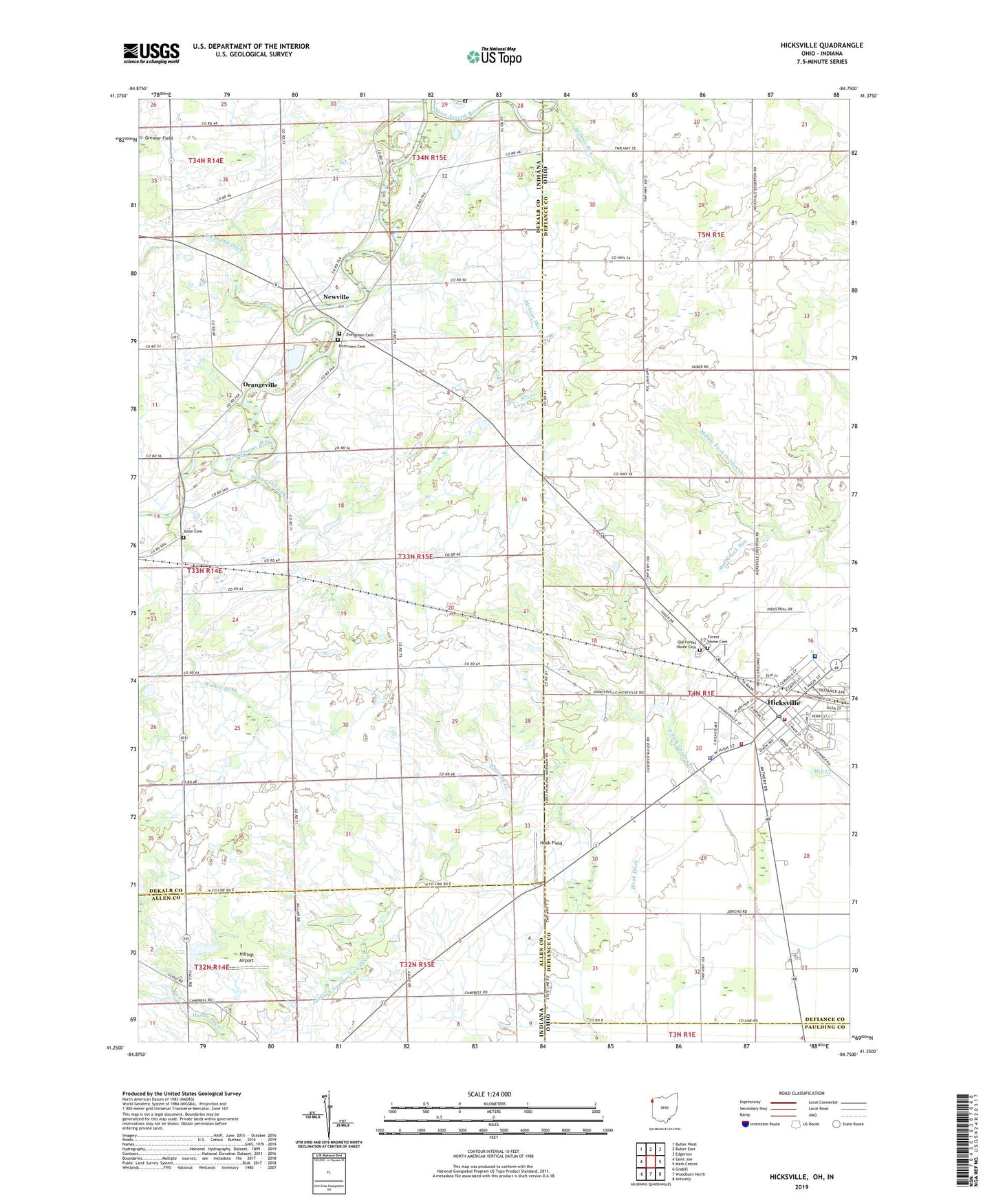
2023 topographic map quadrangle Hicksville in the states of Indiana, Ohio. Scale: 1:24000. Based on the newly updated USGS 7.5' US Topo map series, this map is in the following counties: Defiance, DeKalb, Allen, Paulding. The map contains contour data, water features, and other items you are used to seeing on USGS maps, but also has updated roads and other features. This is the next generation of topographic maps. Printed on high-quality waterproof paper with UV fade-resistant inks.
Quads adjacent to this one:
West: Saint Joe
Northwest: Butler West
North: Butler East
Northeast: Edgerton
East: Mark Center
Southeast: Antwerp
South: Woodburn North
Southwest: Grabill
This map covers the same area as the classic USGS quad with code o41084c7.
Contains the following named places: Alton Cemetery, Assembly of God Church, Beverly Trailer Park, Coburn Corners Church, Community Memorial Hospital, Defiance County Fairgrounds, El Grande Estates, Evergreen Cemetery, First Church of Christ, First Presbyterian Church, Forest Home Cemetery, Fountain Manor Nursing Home, Grace United Methodist Church, Greuter Field, Hart School, Hickory Hills Golf Course, Hicksville, Hicksville Elementary School, Hicksville High School, Hicksville Mennonite Church, Hicksville Police Department, Hicksville Post Office, Hicksville Volunteer Fire Department, Hicksville Volunteer Fire Department Rescue Squad, Hilltop Airport, Hook Ditch, Hook Field, Howensting Airport, Johnson Memorial Library, Keener Field Airport, Lawtonville, Melissa Ditch, Nancy Davis Ditch, Newville, Newville Center, Old Forest Home Cemetery, Orangeville, Racetrack Run, Riverview Cemetery, Saint Johns Lutheran Church, Saint Michaels Catholic Church, Saint Pauls Episcopal Church, School Number 10, School Number 5, School Number 6, Seventh Day Adventist Church, Township of Newville, Village of Hicksville, Walker Ditch, Wartenbe Cemetery, West Milford Church, Willow Run


