MyTopo
Amish Iowa US Topo Map
Couldn't load pickup availability
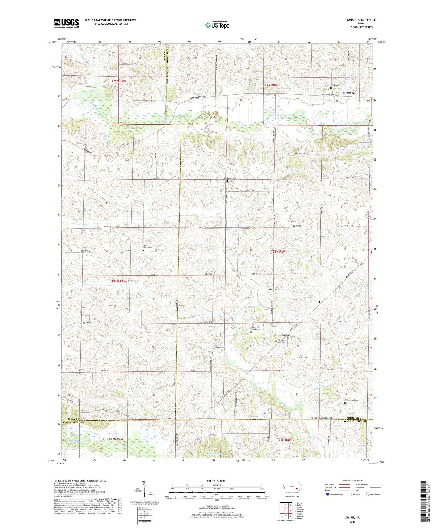
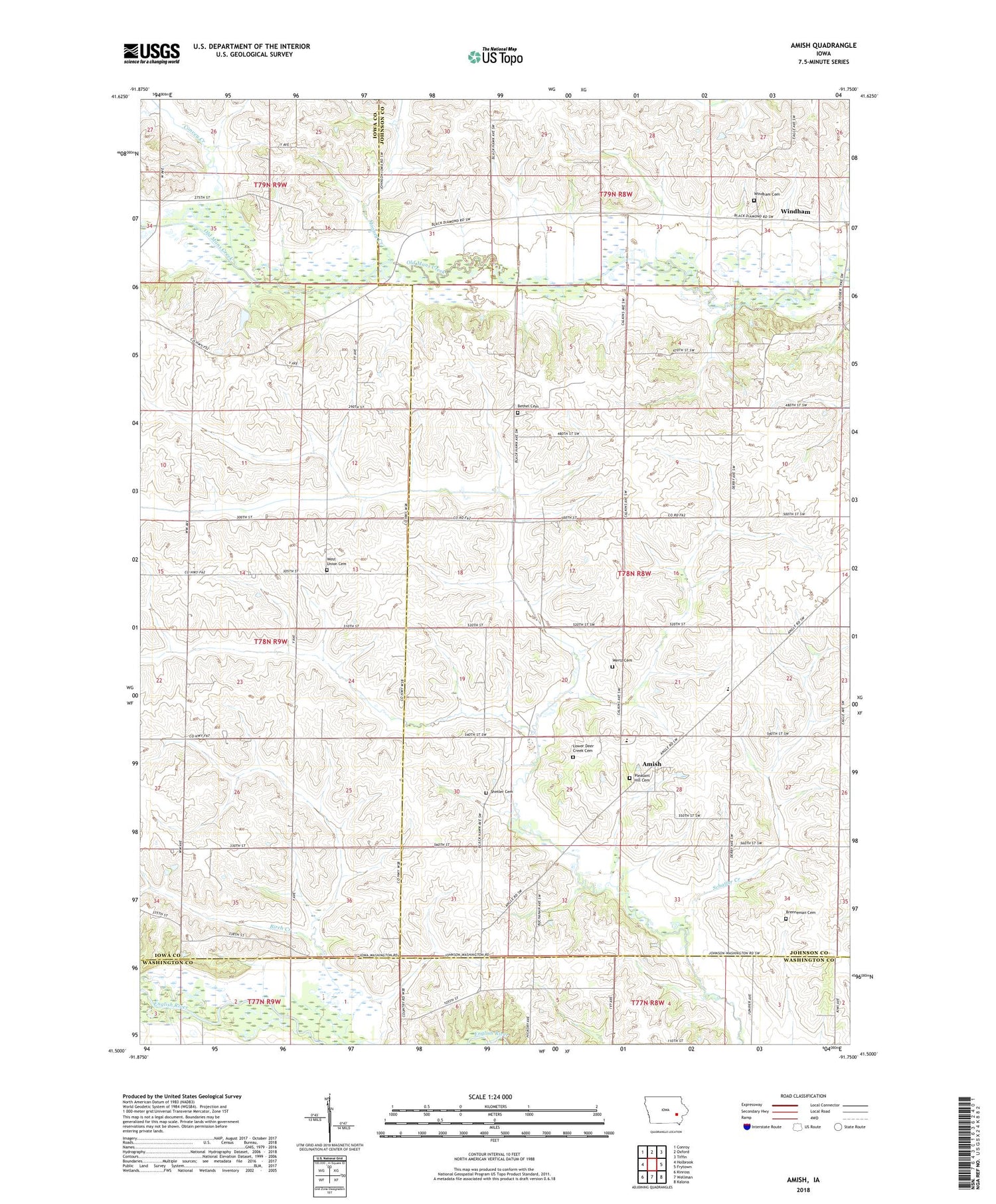
2022 topographic map quadrangle Amish in the state of Iowa. Scale: 1:24000. Based on the newly updated USGS 7.5' US Topo map series, this map is in the following counties: Johnson, Iowa, Washington. The map contains contour data, water features, and other items you are used to seeing on USGS maps, but also has updated roads and other features. This is the next generation of topographic maps. Printed on high-quality waterproof paper with UV fade-resistant inks.
Quads adjacent to this one:
West: Holbrook
Northwest: Conroy
North: Oxford
Northeast: Tiffin
East: Frytown
Southeast: Kalona
South: Wellman
Southwest: Kinross
This map covers the same area as the classic USGS quad with code o41091e7.
Contains the following named places: Amish, Amish Post Office, Bethel Cemetery, Brenneman Cemetery, Convey Creek, Franklin Church, Frendale Post Office, Iowa Mennonite School, Lower Deer Creek Cemetery, Lower Deer Creek Church, Miller Creek, Mooney Creek, Pleasant Hill Cemetery, Schaffer Creek, Schottler Cemetery, Township of Washington, Upper Deer Creek Church, Washington Townhall, Washington Township Elementary School, Wertz Cemetery, West Union Church, West Union Mennonite Cemetery, Windham, Windham Cemetery, Windham Church, Windham Post Office